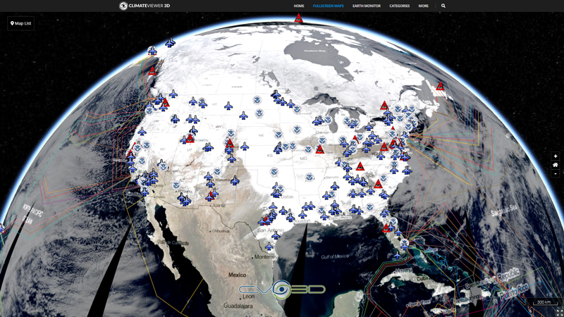
Fire Detection Over Past 24 Hours
The Fire Information for Resource Management System (FIRMS) distributes Near Real-Time (NRT) active fire data within 3 hours of satellite overpass from both the Moderate Resolution Imaging Spectroradiometer (MODIS) and the Visible Infrared Imaging Radiometer Suite (VIIRS).
The Fire Information for Resource Management System (FIRMS) was developed by the University of Maryland, with funds from NASA’s Applied Sciences Program and the United Nations (UN) Food and Agriculture Organization (FAO), to provide near real-time active fire locations to natural resource managers that faced challenges obtaining timely satellite-derived fire information.
A version of FIRMS, known as the Global Fire Information Management System (GFIMS) ran at the United Nations Food and Agriculture Organization (UN FAO) where it complemented the FAO’s existing suite of projects that deliver near-real time information to ongoing monitoring and emergency projects, to other UN organizations as well as providing information to the general public. GFIMS is no longer actively supported.
Map Type
Keyhole Markup Language (Google Earth KML)
Map Source
https://firms.modaps.eosdis.nasa.gov/active_fire/viirs/kml/VNP14IMGTDL_NRT_SouthEast_Asia_24h.kml
More Info
https://firms.modaps.eosdis.nasa.gov/


Leave Us A Comment