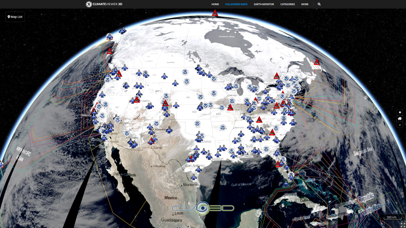
GDACS is a cooperation framework between the United Nations, the European Commission and disaster managers worldwide to improve alerts, information exchange and coordination in the first phase after major sudden-onset disasters.
The objective of GDACS is to assess the overall impact of tropical storm events on affected societies in order to evaluate the need for international intervention. The goal is to understand, as it is happening, the hazard in as much detail as possible, model the impact on the affected communities and, taking into account local and national coping capacity, estimate the likelihood that the country can cope with the disaster.
JRC set up an automatic routine that includes the Tropical Cyclone (TC) bulletins produced by the National Oceanic and Atmospheric Administration (NOAA) and the Joint Typhoon Warning Center (JTWC) into a single database, covering all TC basins. This information is used in GDACS for the wind impact, while the heavy rain impact is obtained using the NOAA Ensemble Tropical Rainfall Potential (eTRaP) data. For the storm surge, JRC has developed an analytical tool, introducing the atmospheric forcing in the JRC’s HyFlux2 code and using as input the TC bulletins.
Map Type
Keyhole Markup Language (Google Earth KML)
Map Source
http://www.gdacs.org/xml/gdacs.kml


Leave Us A Comment