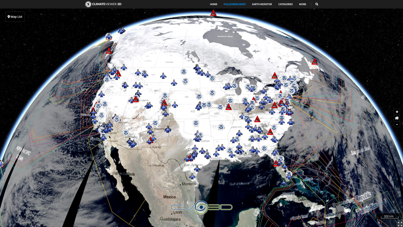
Geostationary Operational Environmental Satellite (GOES) Network
More Info • www.goes-r.gov • www.nasa.gov/content/goes • GOES Overview and History

This section contains live maps that are either updated every few minutes, hourly, or daily. These maps are pulled from different government, university, and private sources when you load them and are subject to occassional outages.
When viewing these maps please consider that they are for informational purposes only and usage may be subject to tracking by the individual providers, which is not controllable by ClimateViewer Maps. If you are concerned about privacy, please use a virtual private network (VPN) and avoid being tracked!
Map List

Global Visible Imagery Mosaic
This nowCOAST time-enabled map service provides maps depicting visible, infrared, and water vapor imagery composited from NOAA/NESDIS GOES-EAST and GOES-WEST. The horizontal resolutions of the IR, vis...
View Map
Global Longwave Infrared Mosaic
This nowCOAST time-enabled map service provides maps depicting visible, infrared, and water vapor imagery composited from NOAA/NESDIS GOES-EAST and GOES-WEST. The horizontal resolutions of the IR, vis...
View Map
Global Shortwave Infrared Mosaic
This nowCOAST time-enabled map service provides maps depicting visible, infrared, and water vapor imagery composited from NOAA/NESDIS GOES-EAST and GOES-WEST. The horizontal resolutions of the IR, vis...
View Map
Northern Hemisphere Longwave Infrared Composite
This nowCOAST time-enabled map service provides maps depicting visible, infrared, and water vapor imagery composited from NOAA/NESDIS GOES-EAST and GOES-WEST. The horizontal resolutions of the IR, vis...
View Map
Northern Hemisphere Shortwave Infrared Composite
This nowCOAST time-enabled map service provides maps depicting visible, infrared, and water vapor imagery composited from NOAA/NESDIS GOES-EAST and GOES-WEST. The horizontal resolutions of the IR, vis...
View Map
Northern Hemisphere Visible Imagery Composite
This nowCOAST time-enabled map service provides maps depicting visible, infrared, and water vapor imagery composited from NOAA/NESDIS GOES-EAST and GOES-WEST. The horizontal resolutions of the IR, vis...
View Map
Northern Hemisphere Water Vapor Imagery Composite
This nowCOAST time-enabled map service provides maps depicting visible, infrared, and water vapor imagery composited from NOAA/NESDIS GOES-EAST and GOES-WEST. The horizontal resolutions of the IR, vis...
View Map


Leave Us A Comment