
This section contains live maps that are either updated every few minutes, hourly, or daily. These maps are pulled from different government, university, and private sources when you load them and are subject to occassional outages.
When viewing these maps please consider that they are for informational purposes only and usage may be subject to tracking by the individual providers, which is not controllable by ClimateViewer Maps. If you are concerned about privacy, please use a virtual private network (VPN) and avoid being tracked!
Map List
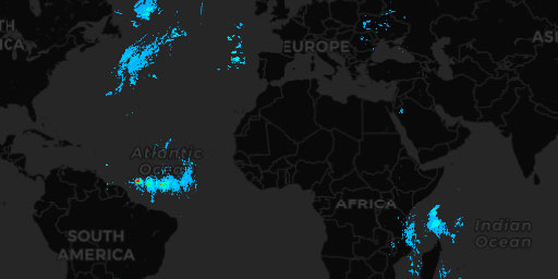
Rainfall Atlantic Ocean - MET0D
EUMETSAT’s Nowcasting Satellite Application Facility (NWC SAF) provides operational services to ensure the optimum use of meteorological satellite data in Nowcasting and Very Short Range Forecasting. ...
View Map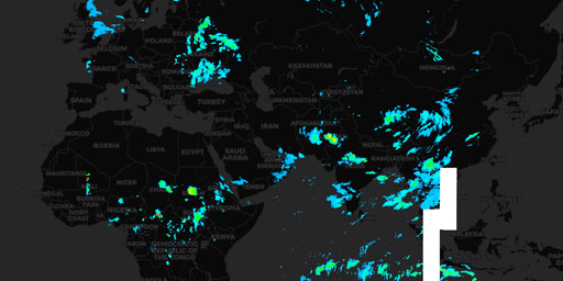
Rainfall Indian Ocean - IODC
EUMETSAT’s Nowcasting Satellite Application Facility (NWC SAF) provides operational services to ensure the optimum use of meteorological satellite data in Nowcasting and Very Short Range Forecasting. ...
View Map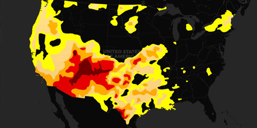
U.S. Drought Monitor
The U.S. Drought Monitor, established in 1999, is a weekly map of drought conditions produced jointly by the National Oceanic and Atmospheric Administration, the U.S. Department of Agriculture, and th...
View Map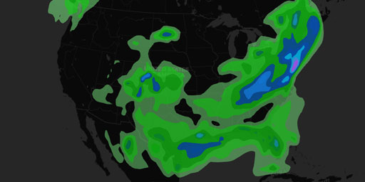
U.S. Rainfall - 24 Hour Forecast
The QPF desk prepares and issues forecasts of accumulating (quantitative) precipitation, heavy rain, heavy snow, and highlights areas with the potential for flash flooding. The basic QPF products are ...
View Map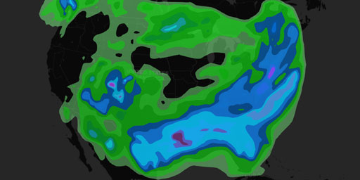
U.S. Rainfall - 5 Day Forecast
The QPF desk prepares and issues forecasts of accumulating (quantitative) precipitation, heavy rain, heavy snow, and highlights areas with the potential for flash flooding. The basic QPF products are ...
View Map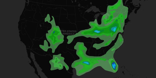
U.S. Rainfall - 6 Hour Forecast
The QPF desk prepares and issues forecasts of accumulating (quantitative) precipitation, heavy rain, heavy snow, and highlights areas with the potential for flash flooding. The basic QPF products are ...
View Map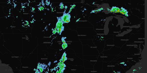
U.S. Rainfall - Multi-Radar/Multi-Sensor (MRMS) System NEXRAD Weather Radar
The Weather radar base reflectivity mosaics are created using data from U.S. Weather Surveillance Radar 1988 Doppler (WSR-88D) sites operated by NWS and DOD and also from the Canadian Environment and ...
View Map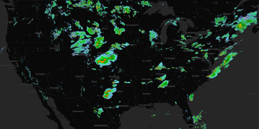
U.S. Rainfall - NEXRAD Radar, Base Reflectivity
NEXRAD or Nexrad (Next-Generation Radar) is a network of 159 high-resolution S-band Doppler weather radars operated by the National Weather Service (NWS), an agency of the National Oceanic and Atmosph...
View Map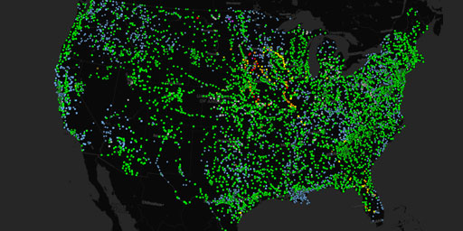
U.S. River Flood Levels
Advanced Hydrologic Prediction Service (AHPS) is a new and essential component of our Climate, Water, and Weather Services. AHPS is a web-based suite of accurate and information-rich forecast products...
View Map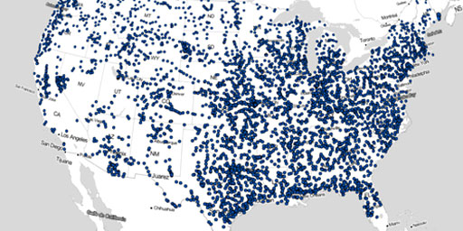
U.S. River Gauges
Advanced Hydrologic Prediction Service (AHPS) is a new and essential component of our Climate, Water, and Weather Services. AHPS is a web-based suite of accurate and information-rich forecast products...
View Map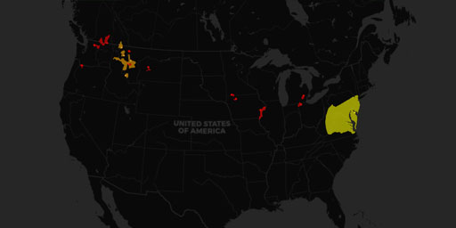
U.S. Significant Flood Risk
The QPF desk prepares and issues forecasts of accumulating (quantitative) precipitation, heavy rain, heavy snow, and highlights areas with the potential for flash flooding. The basic QPF products are ...
View Map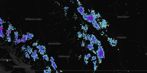
U.S. Snow Depth
The National Operational Hydrologic Remote Sensing Center (NOHRSC) ingests daily ground-based, airborne, and satellite snow observations from all available electronic sources for the coterminous U.S. ...
View Map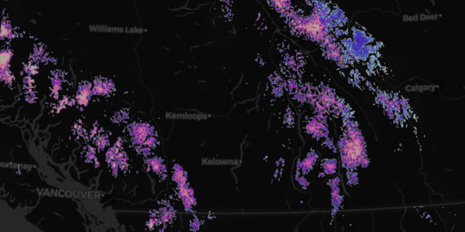
U.S. Snow Water Equivalent
The National Operational Hydrologic Remote Sensing Center (NOHRSC) ingests daily ground-based, airborne, and satellite snow observations from all available electronic sources for the coterminous U.S. ...
View MapJim Lee • Creator of ClimateViewer Maps

I am forever a Boy Scout, lifetime artist, nocturnal programmer, music is my life, love is my religion, and I am the luckiest husband and father on Earth. I speak for the trees. I have a passion for mapping, magnets, and mysteries. Feel free to contact me: jim@climateviewer.com