
This section contains maps created by George Stiller of MyReadingMapped™ and Jim Lee of ClimateViewer News.
The following documentaries, in the form of satellite maps, cover a wide range of famous explorer expeditions that you can zoom in close on and enable you to digitally experience the event.
Map List
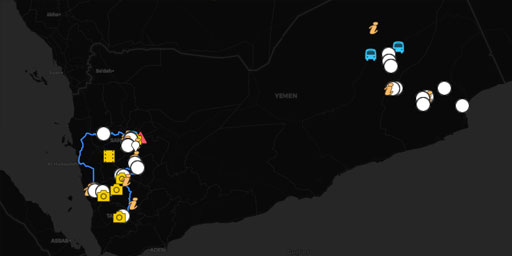
Mikael Strandberg's Yemen Expedition (2012)
This documentary, in the form of a satellite map, tracked the explorations of the famous Swedish Royal Geographical Society explorer Mikael Strandberg as he traveled through the rugged country side an...
View Map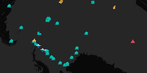
Shackleton's Trans-Antarctic Expedition (1914–1917)
This documentary, in the form of a satellite map, enables you to follow Ernest Shackleton on his troubled 1914 Imperial Trans-Antarctic Expedition. Unlike most maps, this map enables you to digitally ...
View Map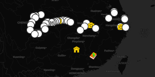
Isabella Lucy Bird's Exploration of the Yangtze River and Beyond (1896)
In this documentary, in the form of a satellite map, you can zoom in on the 1896 journey of Isabella Lucy Bird as she traveled up the Yangtze River Valley and across the Sze Chuan Plain. Unlike most m...
View Map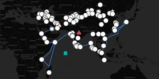
Travels of Marco Polo
In this documentary, in the form of a satellite map, you can zoom in on the travels of Marco Polo from Italy all the way to China following the Silk Road. Unlike most maps, this map enables you to dig...
View Map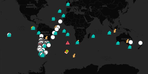
Charles Darwin's Voyage of the Beagle (1832-1836)
In this documentary, in the form of a satellite map, you can zoom in on and follow the adventures of Charles Darwin as he traveled the world for six years collecting data for his radical theories on b...
View Map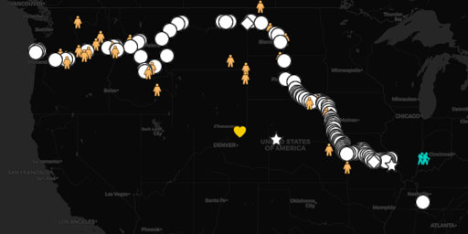
Lewis and Clark's Expedition - 1804 through 1805
In this documentary, in the form of a satellite map, you can zoom in on the Lewis and Clark Expedition 1804 through 1805 from the Mississippi River to the Pacific Ocean. Unlike most maps, this map ena...
View MapJim Lee • Creator of ClimateViewer Maps

I am forever a Boy Scout, lifetime artist, nocturnal programmer, music is my life, love is my religion, and I am the luckiest husband and father on Earth. I speak for the trees. I have a passion for mapping, magnets, and mysteries. Feel free to contact me: jim@climateviewer.com