
This section contains live maps that are either updated every few minutes, hourly, or daily. These maps are pulled from different government, university, and private sources when you load them and are subject to occassional outages.
When viewing these maps please consider that they are for informational purposes only and usage may be subject to tracking by the individual providers, which is not controllable by ClimateViewer Maps. If you are concerned about privacy, please use a virtual private network (VPN) and avoid being tracked!

National Aeronautics and Space Administration (NASA) Earth Observing System Data and Information System (EOSDIS) Global Imagery Browse Services (GIBS)
Visually explore the past and present of our dynamic planet through the Global Imagery Browse Services (GIBS). GIBS provides quick access to over 600 satellite imagery products, covering every part of the world. Most imagery is available within a few hours after satellite overpass, some products span almost 30 years, and the imagery can be rendered in your own web client or GIS application.
NASA EOSDIS GIBS provides full resolution visual representations of NASA Earth science data in a free, open, and interoperable manner. Through responsive and highly available web services, it enables interactive exploration of data to support a wide range of applications including scientific research, applied sciences, natural hazard monitoring, and outreach.
Quickly access satellite imagery of every part of the world in near real-time. Many products are available within 3-5 hours of being observed. The imagery archive is also being expanded to include more historical products along with those from newly-launched sensors. Visit Worldview to see available imagery from GIBS.
Map List
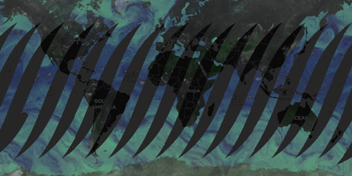
GPM GMI - Brightness Temperature (Ascending)
Global Precipitation Measurement (GPM) Microwave Imager (GMI) National Aeronautics and Space Administration (NASA) Earth Observing System Data and Information System (EOSDIS) Global Imagery Browse Se...
View Map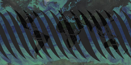
GPM GMI - Brightness Temperature (Descending)
Global Precipitation Measurement (GPM) Microwave Imager (GMI) National Aeronautics and Space Administration (NASA) Earth Observing System Data and Information System (EOSDIS) Global Imagery Browse Se...
View Map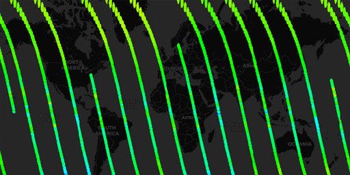
MLS Aura - Temperature at 46 hPa (Day)
Microwave Limb Sounder (MLS) Aura National Aeronautics and Space Administration (NASA) Earth Observing System Data and Information System (EOSDIS) Global Imagery Browse Services (GIBS) Visually explo...
View Map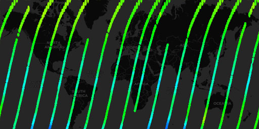
MLS Aura - Temperature at 46 hPa (Night)
Microwave Limb Sounder (MLS) Aura National Aeronautics and Space Administration (NASA) Earth Observing System Data and Information System (EOSDIS) Global Imagery Browse Services (GIBS) Visually explo...
View Map
MODIS Aqua - Brightness Temperature (Band 31, day)
Moderate Resolution Imaging Spectroradiometer (MODIS) Aqua National Aeronautics and Space Administration (NASA) Earth Observing System Data and Information System (EOSDIS) Global Imagery Browse Servi...
View Map
MODIS Aqua - Brightness Temperature (Band 31, night)
Moderate Resolution Imaging Spectroradiometer (MODIS) Aqua National Aeronautics and Space Administration (NASA) Earth Observing System Data and Information System (EOSDIS) Global Imagery Browse Servi...
View Map
MODIS Terra - Brightness Temperature (Band 31, day)
Moderate Resolution Imaging Spectroradiometer (MODIS) Terra National Aeronautics and Space Administration (NASA) Earth Observing System Data and Information System (EOSDIS) Global Imagery Browse Serv...
View Map
MODIS Terra - Brightness Temperature (Band 31, night)
Moderate Resolution Imaging Spectroradiometer (MODIS) Terra National Aeronautics and Space Administration (NASA) Earth Observing System Data and Information System (EOSDIS) Global Imagery Browse Serv...
View Map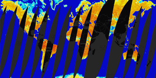
SMAP Radiometer - Uncorrected Brightness Temperature (L1, Passive Enhanced, Aft, H Polarization)
Soil Moisture Active Passive (SMAP) Radiometer. National Aeronautics and Space Administration (NASA) Earth Observing System Data and Information System (EOSDIS) Global Imagery Browse Services (GIBS) ...
View Map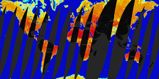
SMAP Radiometer - Uncorrected Brightness Temperature (L1, Passive Enhanced, Aft, V Polarization)
Soil Moisture Active Passive (SMAP) Radiometer. National Aeronautics and Space Administration (NASA) Earth Observing System Data and Information System (EOSDIS) Global Imagery Browse Services (GIBS) ...
View Map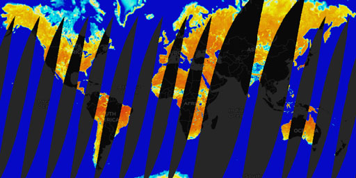
SMAP Radiometer - Uncorrected Brightness Temperature (L1, Passive Enhanced, Fore, H Polarization)
Soil Moisture Active Passive (SMAP) Radiometer. National Aeronautics and Space Administration (NASA) Earth Observing System Data and Information System (EOSDIS) Global Imagery Browse Services (GIBS) ...
View Map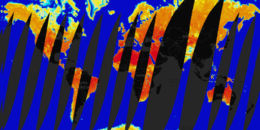
SMAP Radiometer - Uncorrected Brightness Temperature (L1, Passive Enhanced, Fore, V Polarization)
Soil Moisture Active Passive (SMAP) Radiometer. National Aeronautics and Space Administration (NASA) Earth Observing System Data and Information System (EOSDIS) Global Imagery Browse Services (GIBS) ...
View Map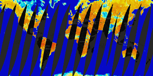
SMAP Radiometer - Uncorrected Brightness Temperature (L1, Passive, Aft, H Polarization)
Soil Moisture Active Passive (SMAP) Radiometer. National Aeronautics and Space Administration (NASA) Earth Observing System Data and Information System (EOSDIS) Global Imagery Browse Services (GIBS) ...
View Map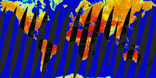
SMAP Radiometer - Uncorrected Brightness Temperature (L1, Passive, Aft, V Polarization)
Soil Moisture Active Passive (SMAP) Radiometer. National Aeronautics and Space Administration (NASA) Earth Observing System Data and Information System (EOSDIS) Global Imagery Browse Services (GIBS) ...
View Map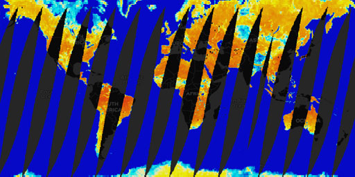
SMAP Radiometer - Uncorrected Brightness Temperature (L1, Passive, Fore, H Polarization)
Soil Moisture Active Passive (SMAP) Radiometer. National Aeronautics and Space Administration (NASA) Earth Observing System Data and Information System (EOSDIS) Global Imagery Browse Services (GIBS) ...
View Map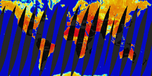
SMAP Radiometer - Uncorrected Brightness Temperature (L1, Passive, Fore, V Polarization)
Soil Moisture Active Passive (SMAP) Radiometer. National Aeronautics and Space Administration (NASA) Earth Observing System Data and Information System (EOSDIS) Global Imagery Browse Services (GIBS) ...
View Map
SMAP Radiometer - Uncorrected Brightness Temperature QA (L1, Passive Enhanced, Aft, H Polarization)
Soil Moisture Active Passive (SMAP) Radiometer. National Aeronautics and Space Administration (NASA) Earth Observing System Data and Information System (EOSDIS) Global Imagery Browse Services (GIBS) ...
View Map
SMAP Radiometer - Uncorrected Brightness Temperature QA (L1, Passive Enhanced, Aft, V Polarization)
Soil Moisture Active Passive (SMAP) Radiometer. National Aeronautics and Space Administration (NASA) Earth Observing System Data and Information System (EOSDIS) Global Imagery Browse Services (GIBS) ...
View Map
SMAP Radiometer - Uncorrected Brightness Temperature QA (L1, Passive Enhanced, Fore, H Polarization)
Soil Moisture Active Passive (SMAP) Radiometer. National Aeronautics and Space Administration (NASA) Earth Observing System Data and Information System (EOSDIS) Global Imagery Browse Services (GIBS) ...
View Map
SMAP Radiometer - Uncorrected Brightness Temperature QA (L1, Passive Enhanced, Fore, V Polarization)
Soil Moisture Active Passive (SMAP) Radiometer. National Aeronautics and Space Administration (NASA) Earth Observing System Data and Information System (EOSDIS) Global Imagery Browse Services (GIBS) ...
View Map
SMAP Radiometer - Uncorrected Brightness Temperature QA (L1, Passive, Aft, H Polarization)
Soil Moisture Active Passive (SMAP) Radiometer. National Aeronautics and Space Administration (NASA) Earth Observing System Data and Information System (EOSDIS) Global Imagery Browse Services (GIBS) ...
View Map
SMAP Radiometer - Uncorrected Brightness Temperature QA (L1, Passive, Aft, V Polarization)
Soil Moisture Active Passive (SMAP) Radiometer. National Aeronautics and Space Administration (NASA) Earth Observing System Data and Information System (EOSDIS) Global Imagery Browse Services (GIBS) ...
View Map
SMAP Radiometer - Uncorrected Brightness Temperature QA (L1, Passive, Fore, H Polarization)
Soil Moisture Active Passive (SMAP) Radiometer. National Aeronautics and Space Administration (NASA) Earth Observing System Data and Information System (EOSDIS) Global Imagery Browse Services (GIBS) ...
View Map
SMAP Radiometer - Uncorrected Brightness Temperature QA (L1, Passive, Fore, V Polarization)
Soil Moisture Active Passive (SMAP) Radiometer. National Aeronautics and Space Administration (NASA) Earth Observing System Data and Information System (EOSDIS) Global Imagery Browse Services (GIBS) ...
View Map
SMAP Radiometer - Uncorrected Brightness Temperature RFI (L1, Passive Enhanced, Aft, H Polarization)
Soil Moisture Active Passive (SMAP) Radiometer. National Aeronautics and Space Administration (NASA) Earth Observing System Data and Information System (EOSDIS) Global Imagery Browse Services (GIBS) ...
View Map
SMAP Radiometer - Uncorrected Brightness Temperature RFI (L1, Passive Enhanced, Aft, V Polarization)
Soil Moisture Active Passive (SMAP) Radiometer. National Aeronautics and Space Administration (NASA) Earth Observing System Data and Information System (EOSDIS) Global Imagery Browse Services (GIBS) ...
View Map
SMAP Radiometer - Uncorrected Brightness Temperature RFI (L1, Passive Enhanced, Fore, H Polarization)
Soil Moisture Active Passive (SMAP) Radiometer. National Aeronautics and Space Administration (NASA) Earth Observing System Data and Information System (EOSDIS) Global Imagery Browse Services (GIBS) ...
View Map
SMAP Radiometer - Uncorrected Brightness Temperature RFI (L1, Passive Enhanced, Fore, V Polarization)
Soil Moisture Active Passive (SMAP) Radiometer. National Aeronautics and Space Administration (NASA) Earth Observing System Data and Information System (EOSDIS) Global Imagery Browse Services (GIBS) ...
View Map
SMAP Radiometer - Uncorrected Brightness Temperature RFI (L1, Passive, Aft, H Polarization)
Soil Moisture Active Passive (SMAP) Radiometer. National Aeronautics and Space Administration (NASA) Earth Observing System Data and Information System (EOSDIS) Global Imagery Browse Services (GIBS) ...
View Map
SMAP Radiometer - Uncorrected Brightness Temperature RFI (L1, Passive, Aft, V Polarization)
Soil Moisture Active Passive (SMAP) Radiometer. National Aeronautics and Space Administration (NASA) Earth Observing System Data and Information System (EOSDIS) Global Imagery Browse Services (GIBS) ...
View Map
SMAP Radiometer - Uncorrected Brightness Temperature RFI (L1, Passive, Fore, H Polarization)
Soil Moisture Active Passive (SMAP) Radiometer. National Aeronautics and Space Administration (NASA) Earth Observing System Data and Information System (EOSDIS) Global Imagery Browse Services (GIBS) ...
View Map
SMAP Radiometer - Uncorrected Brightness Temperature RFI (L1, Passive, Fore, V Polarization)
Soil Moisture Active Passive (SMAP) Radiometer. National Aeronautics and Space Administration (NASA) Earth Observing System Data and Information System (EOSDIS) Global Imagery Browse Services (GIBS) ...
View Map
VIIRS SNPP - Brightness Temperature (Band I5, day)
Visible Infrared Imaging Radiometer Suite (VIIRS) - Suomi National Polar-orbiting Partnership (Suomi NPP). National Aeronautics and Space Administration (NASA) Earth Observing System Data and Informa...
View Map
VIIRS SNPP - Brightness Temperature (Band I5, night)
Visible Infrared Imaging Radiometer Suite (VIIRS) - Suomi National Polar-orbiting Partnership (Suomi NPP). National Aeronautics and Space Administration (NASA) Earth Observing System Data and Informa...
View MapJim Lee • Creator of ClimateViewer Maps

I am forever a Boy Scout, lifetime artist, nocturnal programmer, music is my life, love is my religion, and I am the luckiest husband and father on Earth. I speak for the trees. I have a passion for mapping, magnets, and mysteries. Feel free to contact me: jim@climateviewer.com