
This map contains lasers like The Ground-Based Electro-Optical Deep Space Surveillance (GEODSS), International Laser Ranging Service (ILRS), Starfire Optical Range, White Sands Missile Range Directed-Energy test site and other high-power laser sites around the world!
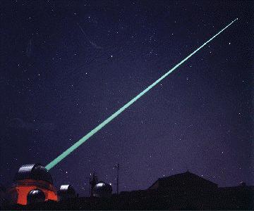
Ground-Based Electro-Optical Deep Space Surveillance (GEODSS)
Air Force Factsheet
Wikipedia
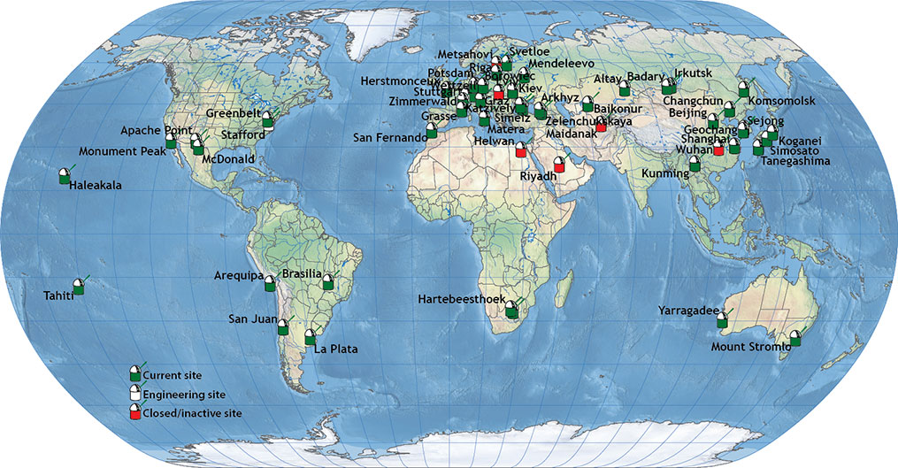
International Laser Ranging Service (ILRS)

Satellite laser ranging uses lasers to measure ranges from ground stations to satellite borne retro-reflectors to the millimeter level. The primary mission of the ILRS as stated in the organization’s Terms of Reference is “to support, through satellite and lunar laser tracking data and related products, geodetic and geophysical research activities.“
The primary objective of the International Laser Ranging Service (ILRS) is to provide a service to support, through Satellite and Lunar Laser Ranging data and related products, geodetic and geophysical research activities as well as IERS products important to the maintenance of an accurate International Terrestrial Reference Frame (ITRF). The service also develops the necessary standards/specifications and encourages international adherence to its conventions.
The ILRS collects, merges, archives and distributes Satellite Laser Ranging (SLR) and Lunar Laser Ranging (LLR) observation datasets of sufficient accuracy to satisfy the objectives of a wide range of scientific, engineering, and operational applications and experimentation. These datasets are used by the ILRS to generate a number of scientific and operational data products including but not limited to:
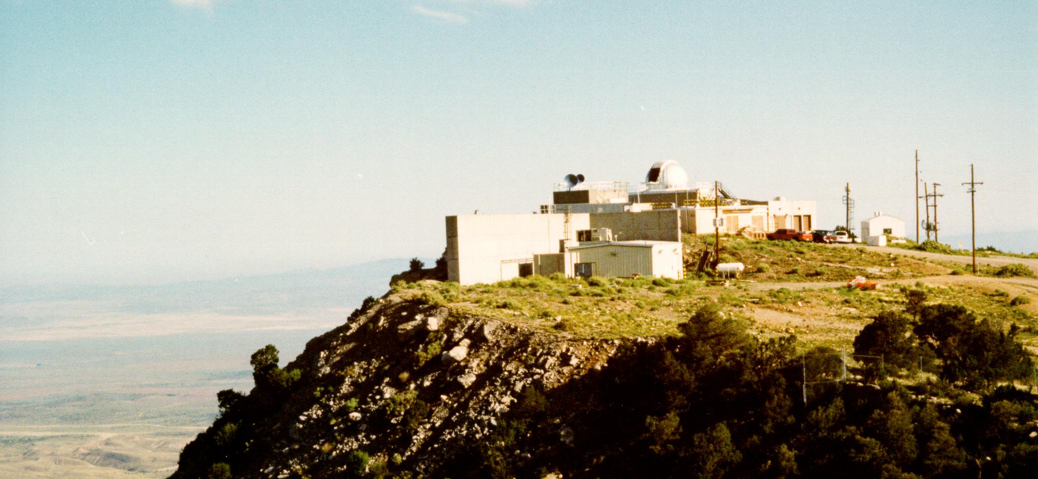
White Sands Missile Range, US Air Force Laboratory’s Directed Energy Directorate
Defense/Surveillance Lasers: Directed Energy Weapons
A directed-energy weapon (DEW) emits energy in an aimed direction without the means of a projectile. It transfers energy to a target for a desired effect. Intended effects may be non-lethal or lethal. Some such weapons are real, or are under active research and development. Source: Wikipedia
See: Directed Energy Weapons 101: Sonic, Microwave, Laser, and Non-Lethal Warfare
Tags
Map Type
Keyhole Markup Language (Google Earth KML)
Map Source
Attribution
Jim Lee, ClimateViewer NewsMap: Lasers and Directed-Energy Weapons by Jim Lee is licensed under a Creative Commons Attribution-NonCommercial-ShareAlike 4.0 International License. Based on a work at climateviewer.org/. Permissions beyond the scope of this license may be available at climateviewer.com/terms.
 You are free to:
- Share — copy and redistribute the material in any medium or format
- Adapt — remix, transform, and build upon the material
- Attribution — You must give appropriate credit, provide a link to the license, and indicate if changes were made. You may do so in any reasonable manner, but not in any way that suggests the licensor endorses you or your use.
- NonCommercial — You may not use the material for commercial purposes.
- ShareAlike — If you remix, transform, or build upon the material, you must distribute your contributions under the same license as the original.
Jim Lee • Creator of ClimateViewer Maps

I am forever a Boy Scout, lifetime artist, nocturnal programmer, music is my life, love is my religion, and I am the luckiest husband and father on Earth. I speak for the trees. I have a passion for mapping, magnets, and mysteries. Feel free to contact me: jim@climateviewer.com