ClimateViewer Maps are incredibly especially extremely unique and educational.
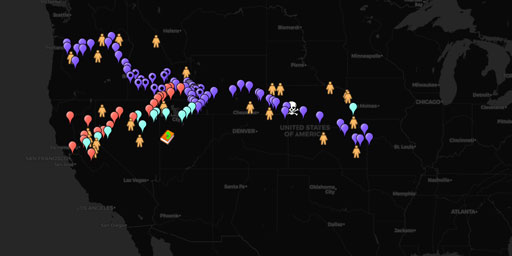
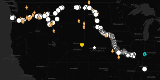
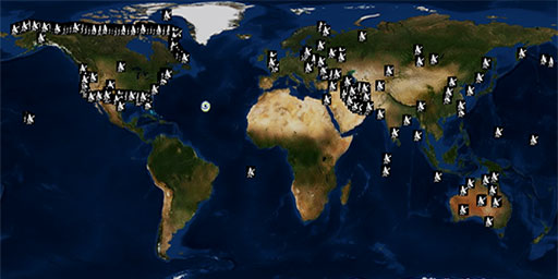
ClimateViewer Maps is your source for personal education and geophysical monitoring with live imagery on a gorgeous 3D globe. ClimateViewer Maps features an encyclopedic list of exclusive maps resulting in thousands of hours of personal educational bliss not found anywhere else on the internet, let alone in one place. ClimateViewer Maps is an amazing source of unique maps covering climate change, pollution, privacy, exploration, migration, geosciences, architecture, green energy solutions, sunken ships, airplane crash sites, weather modification and more.
ClimateViewer 3D features all-inclusive live updates on severe weather, earthquakes, fires, and other life-threatening events will give you peace of mind. Use our fullscreen map apps to create a custom mix of map layers to share with your friends. ClimateViewer's fullscreen map apps is a fun way to learn about your world by combining layers and connecting the dots! Finally, you can submit your own news, photos, and videos using our Reporting App!
Latest Maps
Map Categories
Alerts & Weather
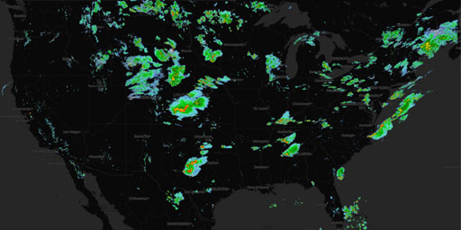
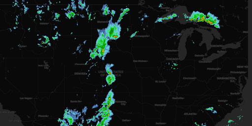
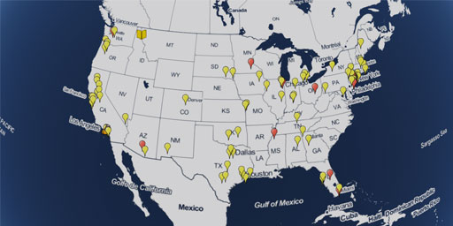
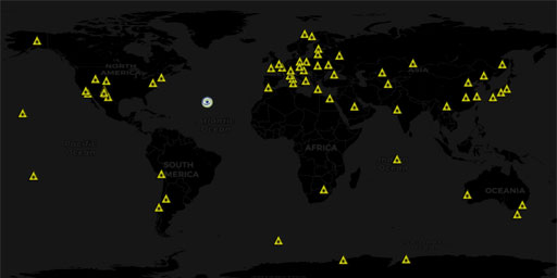
Live monitoring of air quality, earthquakes, fires, volcanic activity, hurricanes and tropical storms, lightning, rain and snow, watches and warnings, and wind!
Browse Maps
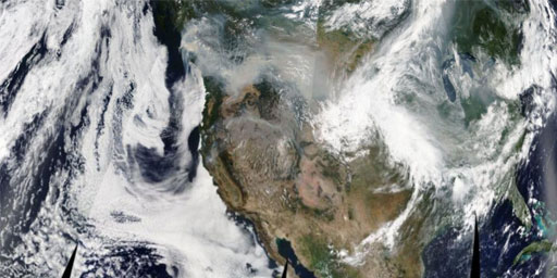
Satellite Imagery
Live satellite imagery from CIMSS, EUMETSAT, Geostationary Operational Environmental Satellite (GOES), and NASA EOSDIS Global Imagery Browse Services (GIBS).
Browse Maps
History & Science
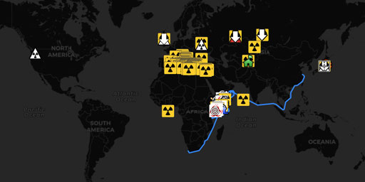
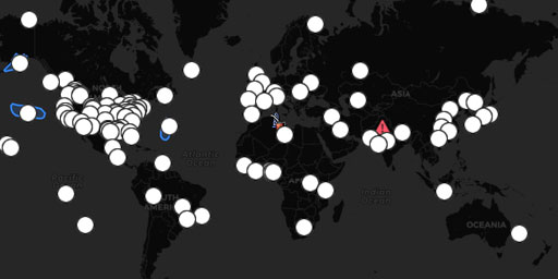
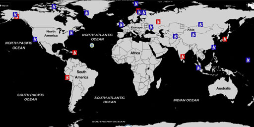
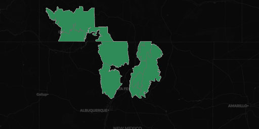
Unique maps by Jim Lee, creator of ClimateViewer Maps, covering atmospheric sensors & electromagnetic facilities, climate change & energy, government & surveillance, nuclear radiation & waste, and transportation.
Browse Maps
Earth Monitor
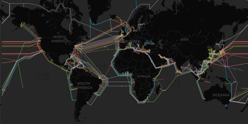
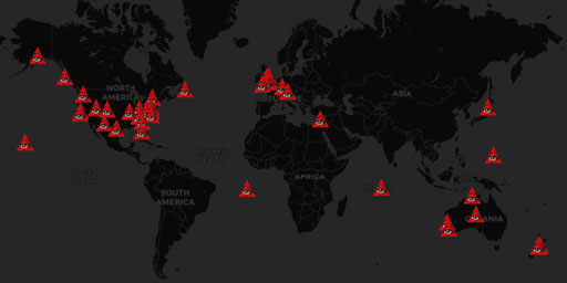
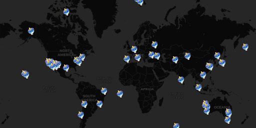
An extensive list of external websites allowing you to have an amazing list of map resources at your fingertips: disaster alerts, climate change, flight & ship tracking, pollution, power plants, radio frequency monitoring, satellite imagery & tracking, space weather, and more!
Browse Maps
ClimateViewer 3D
Professional WebGL globe to see your world.
With cutting-edge technology, real-time geophysical monitoring, and a visual tour of our planetary problems, ClimateViewer 3D is your source for up-to-the-second situational awareness!
LAUNCH APP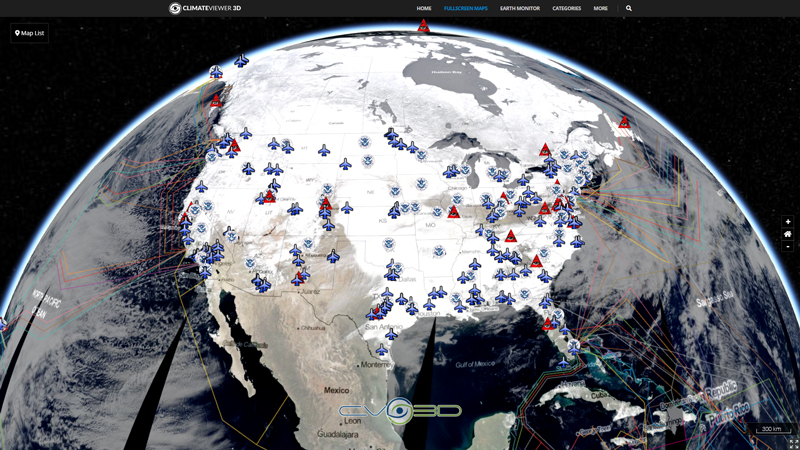
Discover how natural and artificial phenomena, from past to present and underground to outer space might affect the quality and length of your future and lose yourself in thousands of hours of educational maps! With ClimateViewer, the world is at your finger tips!
ClimateViewer Maps Tutorial
Learn how to use this website!
Creator Jim Lee teaches you how to use ClimateViewer 3D and how to navigate the entire ClimateViewer Maps website.
WATCH TUTORIALPopular Maps
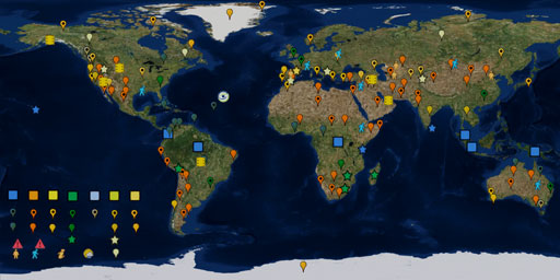
Check out our most viewed ClimateViewer Maps.