
This section contains maps created by George Stiller of MyReadingMapped™ and Jim Lee of ClimateViewer News.
The following documentaries, in the form of satellite maps, cover a wide range of geoscience and oceanography subjects that you can zoom in close on and enable you to digitally experience the event.
Map List
Irrational Environmental Engineering
This documentary, in the form of a satellite map, covers the unintended consequences of pragmatic ecological engineering worldwide that had perverse results. Situations where we spent a great deal of ...
View Map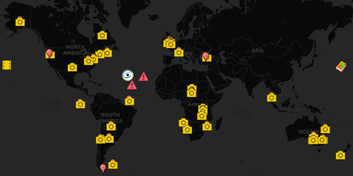
Darwin's “The Origin of Species”
This documentary, in the form of a satellite map, plots the examples of evolutionary biology provided by Charles Darwin in his book The Origin of Species. It’s a companion piece to my Interactive map ...
View Map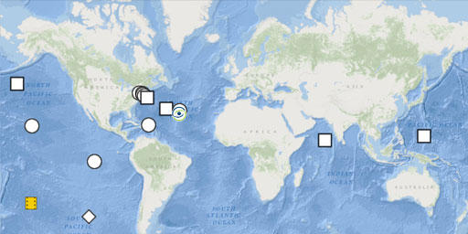
A Depth Gauge for Understanding Oceans
Having made a scale of the Earth’s atmosphere, in the form of a satellite map, I thought that a similar scale was needed for ocean depths. So this map has samples of ocean depths that were deter...
View Map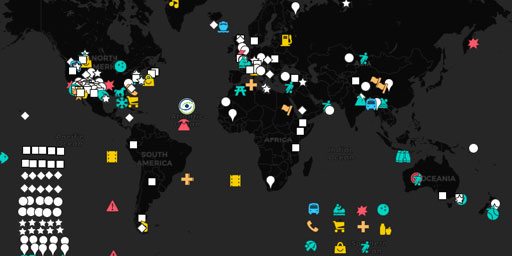
The Glossary of Geology
This documentary, in the form of a satellite map, provides examples of geology terminology throughout the world that you can zoom in close on to see where the depressions, eductions, eskers, fabric, f...
View Map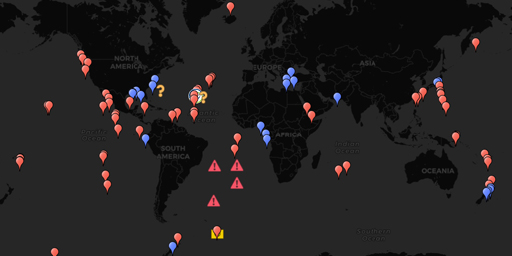
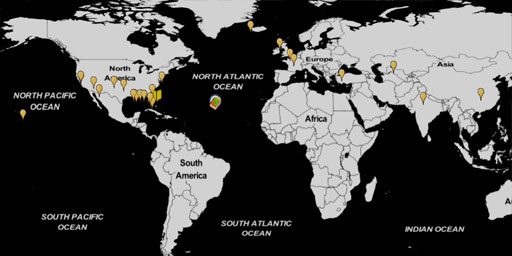
The Submarine Topography of Hydrothermal Vents, Cold Seeps, and the likey Origins of Life
This documentary, in the form of a satellite map, enables you to zoom in close on the submarine topography of the known Hydrothermal Vents and Cold Seeps identified in the article Decapod crustaceans ...
View Map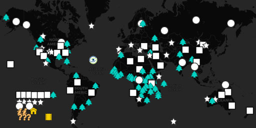
Terrestrial Biomes and Ecoregions
Biomes are climatically and geographically defined as contiguous areas with similar climatic conditions on the Earth, such as communities of plants, animals, and soil organisms, and are often referred...
View Map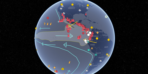
The El Niño Zone
This documentary, in the form of a satellite map, accounts for everything you want to know about the El Niño Zone. Like weather changes, the Galapagos volcanic hotspot, changes in Thermohaline Circula...
View Map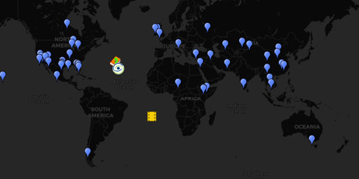
The World's Vanishing Lakes and Rivers
This documentary, in the form of a satellite map, examines how climate change, human development and natural phenomena such as sinkholes have affected the many vanishing lakes and rivers. Many of whic...
View Map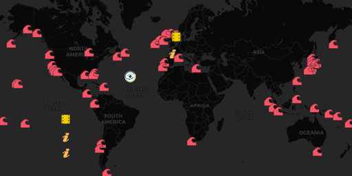
The Topography of Giant Wave Zones
This documentary, in the form of a satellite map, investigates the submarine topography that help create the huge waves that big name surfers ride in their search for fame and glory or the rouge waves...
View Map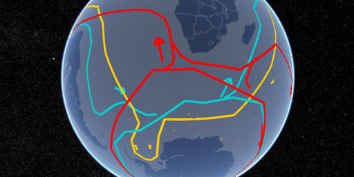
Topography of the Thermohaline Circulation of the Oceans
With the above map, you can zoom in close to see how the submarine topography affects the Thermohaline Circulation of the oceans and its effect on our climate. One of the things that bothered me when ...
View Map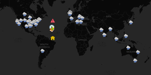
It's Raining Frogs, Fish, and What?
You might say it’s raining cats and dogs, but you don’t mean it literally. But at times in many areas around the world that it has rained things stranger than felines and canines. Weird ra...
View Map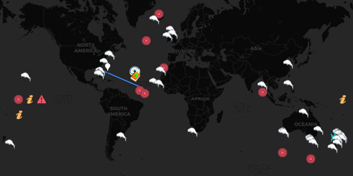
Mass Whale Stranding Sites
This documentary, in the form of a satellite map, traces the beached whale strandings that made headline news around the world. Note how certain locations are magnets for such activity, recurring over...
View Map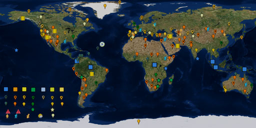
Geography of the Köppen Climate Classification System
This documentary, in the form of a satellite map, applies geography to the 100+ year old Köppen Climate Classification System. The intent of this map is to be a visual glossary of climate classificati...
View Map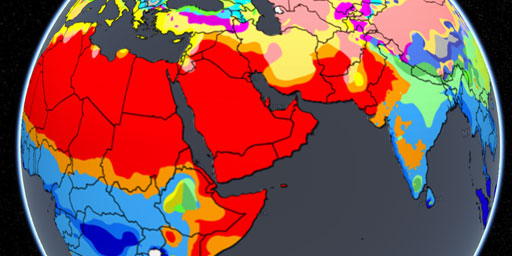
Geography of the Köppen Climate Classification System (Overlay)
This overlay applies the 100+ year old Köppen Climate Classification System. The intent of this map is to be a visual glossary of climate classifications. With it you will be able to see the actual ge...
View Map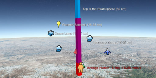
The Atmosphere of Earth
Ever wonder just how high is high? Just how high is the Hubble Space Telescope at 371 miles (559km) and the International Space Station at 260 miles (420 km). Without a real Earth reference there is n...
View Map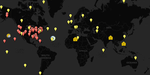
The History of Climate Change (2000-2012)
This documentary, in the form of a satellite map, tracks worldwide climate change between 2000 and 2012. It shows examples of such subjects as global warming, both natural and man-made, the increase o...
View Map
Oceanic Trenches and other Undersea Phenomena
In this documentary, in the form of a satellite map, you can explore the oceanic trenches and other undersea phenomena, 240 locations of zones in order to give you a better understanding of what is un...
View Map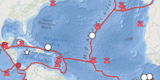
The Topography of Plate Tectonics
This documentary, in the form of a satellite map, attempts to put some real world topography to the Plate Tectonics. With this interactive map you can see the actual land and submarine topography that...
View MapJim Lee • Creator of ClimateViewer Maps

I am forever a Boy Scout, lifetime artist, nocturnal programmer, music is my life, love is my religion, and I am the luckiest husband and father on Earth. I speak for the trees. I have a passion for mapping, magnets, and mysteries. Feel free to contact me: jim@climateviewer.com