
This section contains maps created by George Stiller of MyReadingMapped™ and Jim Lee of ClimateViewer News.
The following documentaries, in the form of satellite maps, cover the known fossil sites that you can zoom in close on and enable you to digitally experience the event.
Map List
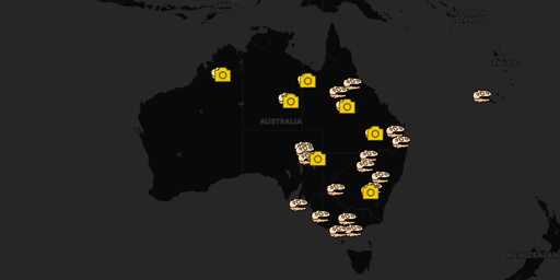
Fossil Sites of Antartica, Australia, and Oceania (A Paleontology Primer)
This documentary, in the form of a satellite map, is the fifth and last of a series of maps that cover fossil sites worldwide. This map traces the fossil sites of Antarctica, Australia, and New Caledo...
View Map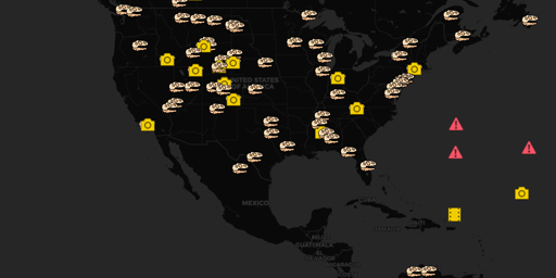
Fossil Sites of North and South America (A Paleontology Primer)
This documentary, in the form of a satellite map, is the fourth in a series of maps that cover fossil sites worldwide. This map traces the fossil sites of North and South America. Sites included in th...
View Map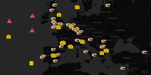
Fossil Sites of Europe (A Paleontology Primer)
This documentary, in the form of a satellite map, is the third in a series of maps that cover fossil sites worldwide. This map traces the fossil sites of Europe. Sites included in this map of special ...
View Map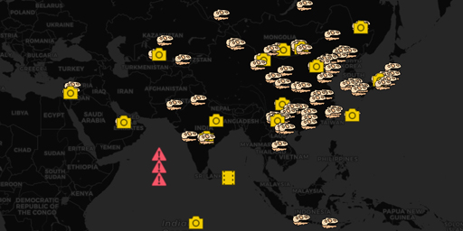
Fossil Sites of Asia (A Paleontology Primer)
This documentary, in the form of a satellite map, is the second in a series of maps that cover fossil sites worldwide. This map traces the many fossil sites in Asia. Included in this map are fossil si...
View Map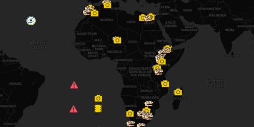
Fossil Sites in Africa (A Paleontology Primer)
This documentary, in the form of a satellite map, is the first in a 5-part series of maps that cover fossil sites worldwide. This map traces the African fossil site locations known for the presence of...
View MapJim Lee • Creator of ClimateViewer Maps

I am forever a Boy Scout, lifetime artist, nocturnal programmer, music is my life, love is my religion, and I am the luckiest husband and father on Earth. I speak for the trees. I have a passion for mapping, magnets, and mysteries. Feel free to contact me: jim@climateviewer.com