
This section contains maps created by George Stiller of MyReadingMapped™ and Jim Lee of ClimateViewer News.
The following documentaries, in the form of satellite maps, cover a wide range of conquerors, battles and wars that you can zoom in close on and enable you to digitally experience the event.
Map List
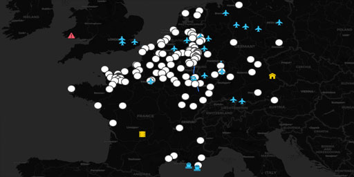
World War 2 Battles: The Western Front
In this documentary, in the form of a satellite map, you can zoom in on the World War II battlefields on the Western Front from April of 1940 to April of 1945. The Blue locations are the German offens...
View Map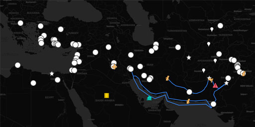
The Wars of Alexander the Great
In this documentary, in the form of a satellite map, you can zoom in on the actual cities conquered on Alexander the Great’s way to greatness. Unlike most maps, this map enables you to digitally exper...
View Map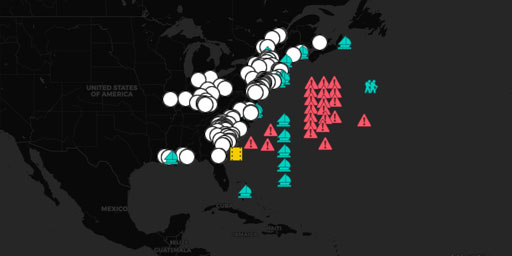
The American Revolution
In this documentary, in the form of a satellite map, traces the approximately 190 battles and other events of the American Revolution between the years of 1774 through 1784. With it you can zoom in on...
View Map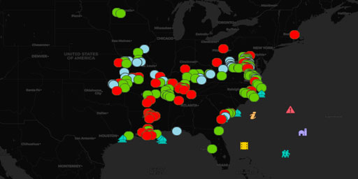
The Civil War Part 1: Lee's Southern Assertiveness (1861-1863)
With this 2-map documentary, in the form of satellite map, you can zoom in on over 390 Civil War battlefields of the American Civil War. • Part-1: Lee’s Southern Assertiveness years of 1861 to m...
View Map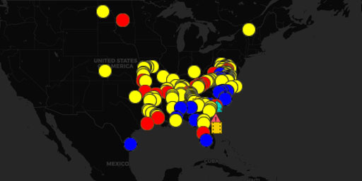
The Civil War Part 2: Grant's and Sherman's Divide and Conquer (mid 1863-1865)
With this 2-map documentary, in the form of satellite map, you can zoom in on over 390 Civil War battlefields of the American Civil War. • Part-1: Lee’s Southern Assertiveness years of 1861 to m...
View MapJim Lee • Creator of ClimateViewer Maps

I am forever a Boy Scout, lifetime artist, nocturnal programmer, music is my life, love is my religion, and I am the luckiest husband and father on Earth. I speak for the trees. I have a passion for mapping, magnets, and mysteries. Feel free to contact me: jim@climateviewer.com