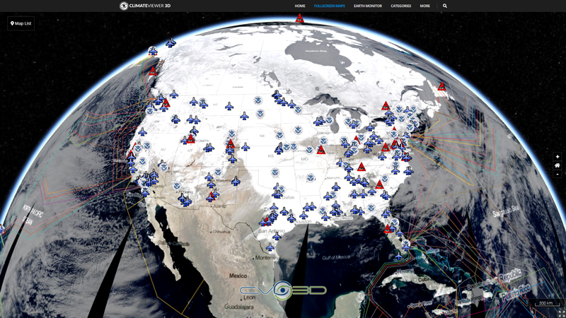
DIGISONDE® Station List, UMass Lowell Space Science Lab
Lowell Digisonde International manufactures and markets the Digisonde-Portable-Sounder-4D (DPS4D), the latest model in the DIGISONDE® series of advanced ionosondes built in Lowell since 1969. The Digisonde is an ionospheric radar that uses high-frequency radio waves for the remote sensing of the ionosphere, the ionosonde technology pioneered by Sir Edward Appleton in the late 1920s. DIGISONDE stands for “Digitally Integrating Goniometric IonoSONDE”. The DPS4D is the only commercially available ionosonde system that measures all parameters of the ionospherically reflected HF radio signals, and automatically calculates the local ionospheric electron density profile in real time.

Tags
Map Type
GeoJSON
Map Source
https://climateviewer.org/layers/geojson/2018/DIGISONDE-ClimateViewer-3D.geojson
Attribution
Jim Lee, ClimateViewer NewsMap: DIGISONDE® Ionosonde Network by Jim Lee is licensed under a Creative Commons Attribution-NonCommercial-ShareAlike 4.0 International License. Based on a work at climateviewer.org/. Permissions beyond the scope of this license may be available at climateviewer.com/terms.
 You are free to:
- Share — copy and redistribute the material in any medium or format
- Adapt — remix, transform, and build upon the material
- Attribution — You must give appropriate credit, provide a link to the license, and indicate if changes were made. You may do so in any reasonable manner, but not in any way that suggests the licensor endorses you or your use.
- NonCommercial — You may not use the material for commercial purposes.
- ShareAlike — If you remix, transform, or build upon the material, you must distribute your contributions under the same license as the original.


Leave Us A Comment