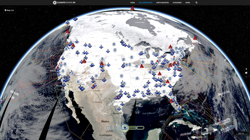
Rectified (level 1.5) Meteosat SEVIRI image data. The data is transmitted as High Rate transmissions in 12 spectral channels. Level 1.5 image data corresponds to the geolocated and radiometrically pre-processed image data, ready for further processing, e.g. the extraction of meteorological products. Any spacecraft specific effects have been removed, and in particular, linearisation and equalisation of the image radiometry has been performed for all SEVIRI channels. The on-board blackbody data has been processed. Both radiometric and geometric quality control information is included.

Map Type
Web Map Service (WMS)
Map Source
https://eumetview.eumetsat.int/geoserv/wms?request=GetCapabilities&service=WMS


Leave Us A Comment