
This section contains live maps that are either updated every few minutes, hourly, or daily. These maps are pulled from different government, university, and private sources when you load them and are subject to occassional outages.
When viewing these maps please consider that they are for informational purposes only and usage may be subject to tracking by the individual providers, which is not controllable by ClimateViewer Maps. If you are concerned about privacy, please use a virtual private network (VPN) and avoid being tracked!
Map List
Active Volcanoes and Eruptions (This Week)
The Smithsonian Institution’s Global Volcanism Program (GVP) is housed in the Department of Mineral Sciences, National Museum of Natural History, in Washington D.C. We are devoted to a better un...
View Map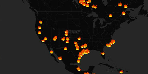
Fire Detection - NOAA Hazard Mapping System
The information on fire position should be used as general guidance and for strategic planning. Tactical decisions, such as the activation of a response to fight these fires and evacuation efforts, sh...
View Map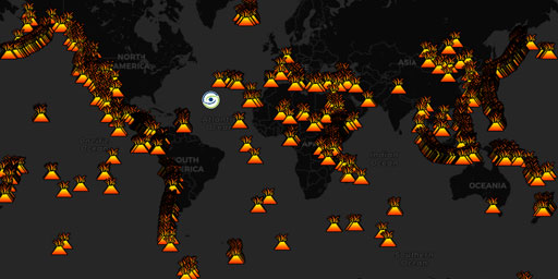
Global Volcanoes (Holocene Period)
The Holocene is the current geological epoch. It began approximately 11,650 cal years before present, after the last glacial period, which concluded with the Holocene glacial retreat. The Holocene and...
View Map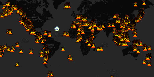
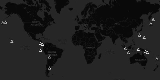
Global Volcanoes (Pleistocene Period)
The Pleistocene (often colloquially referred to as the Ice Age) is the geological epoch which lasted from about 2,588,000 to 11,700 years ago, spanning the world's most recent period of repeated glaci...
View Map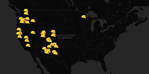
InciWeb Incident Information System
InciWeb is an interagency all-risk incident information management system. The system was developed with two primary missions: (1) Provide the public a single source of incident related information (2...
View Map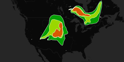
Smoke Detection - NOAA Hazard Mapping System
The information on fire position should be used as general guidance and for strategic planning. Tactical decisions, such as the activation of a response to fight these fires and evacuation efforts, sh...
View MapJim Lee • Creator of ClimateViewer Maps

I am forever a Boy Scout, lifetime artist, nocturnal programmer, music is my life, love is my religion, and I am the luckiest husband and father on Earth. I speak for the trees. I have a passion for mapping, magnets, and mysteries. Feel free to contact me: jim@climateviewer.com