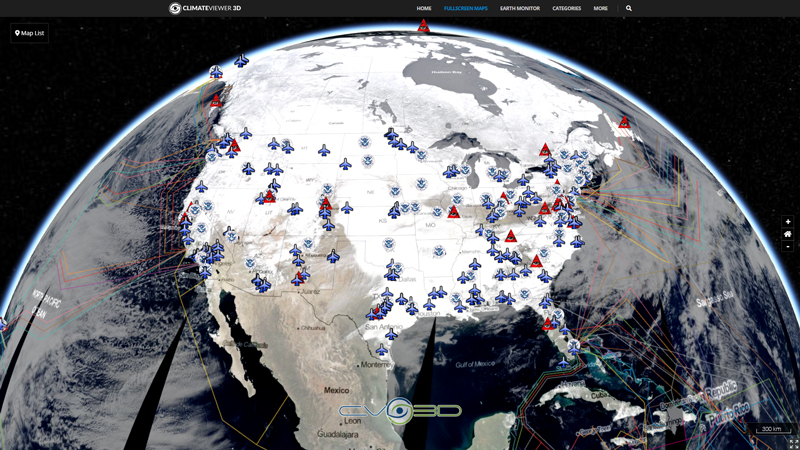
Provide timely, comprehensive, and tactically relevant meteorological and oceanographic (METOC) products and services in direct support of Fleet training and readiness; deploying Carrier and Expeditionary Strike Groups and embarked units/staff, Combatant Commanders, Joint/Coalition forces, and other U.S. Government agencies as directed.
Map Type
Keyhole Markup Language (Google Earth KML)
Map Source
http://www.metoc.navy.mil/fwcn/products/kml/tropical/ndbc_tropical.kml


Leave Us A Comment