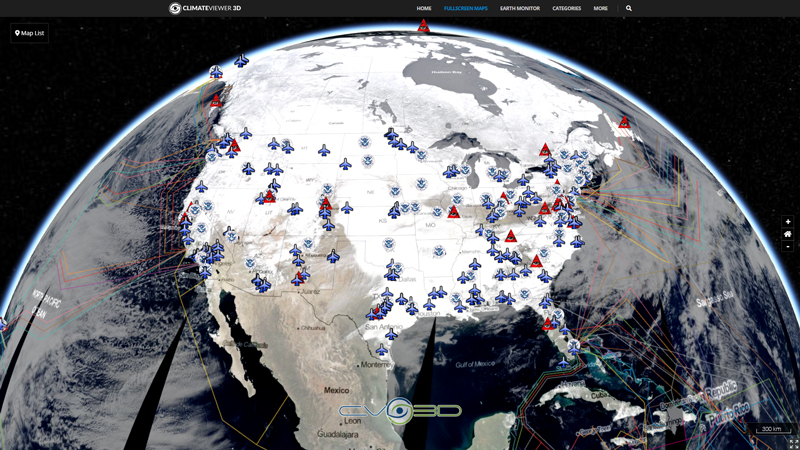
This nowCOAST time-enabled map service provides maps of NOAA/National Weather Service RIDGE2 mosaics of base reflectivity images across the Continental United States (CONUS) as well as Puerto Rico, Hawaii, Guam and Alaska with a 2 kilometer (1.25 mile) horizontal resolution. The mosaics are compiled by combining regional base reflectivity radar data obtained from 158 Weather Surveillance Radar 1988 Doppler (WSR-88D) also known as NEXt-generation RADar (NEXRAD) sites across the country operated by the NWS and the Dept. of Defense and also from data from Terminal Doppler Weather Radars (TDWR) at major airports. The colors on the map represent the strength of the energy reflected back toward the radar. The reflected intensities (echoes) are measured in dBZ (decibels of z). The color scale is very similar to the one used by the NWS RIDGE2 map viewer. The radar data itself is updated by the NWS every 10 minutes during non-precipitation mode, but every 4-6 minutes during precipitation mode. To ensure nowCOAST is displaying the most recent data possible, the latest mosaics are downloaded every 5 minutes.
Tags
Map Type
ArcGIS Mapserver
Map Source
https://nowcoast.noaa.gov/arcgis/rest/services/nowcoast/radar_meteo_imagery_nexrad_time/MapServer


Leave Us A Comment