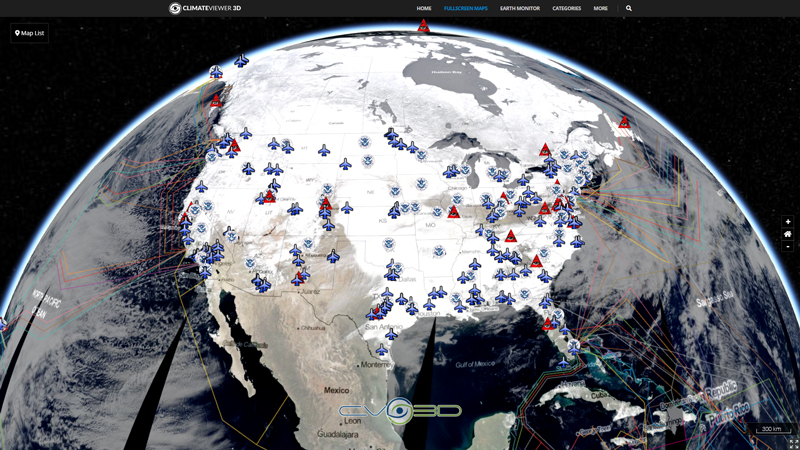
The nowCOAST time-enabled map service provides maps depicting the geographic coverage of the latest NOAA/National Weather Service (NWS) WARNINGS for short-duration hazards for inland, coastal, and maritime areas which are in progress, imminent, or has a very high probability of occurring. These hazards include severe thunderstorms (damaging winds, large hail), tornadoes, waterspouts, flash floods, and extreme winds associated with major land-falling hurricanes. Specifically, the layer includes the following warnings: Special Marine Warnings (winds of 34 knots, 3⁄4 inch diameter hail, waterspouts), Severe Thunderstorm Warnings (winds of 58 MPH or greater, large hail of 1 inch or greater in diameter), Tornado Warnings, Flash Flood Warnings, and Extreme Wind Warnings (sustained surface winds of 115 MPH or greater during major [Category 3 or higher]land-falling hurricane within one hour). The colors used to identify the different warnings are the same colors used by the NWS on their map at weather.gov. The map is updated in the nowCOAST map service every minute.
Map Type
ArcGIS Mapserver


Leave Us A Comment