
European Organisation for the Exploitation of Meteorological Satellites (EUMETSAT)
This section contains live maps that are either updated every few minutes, hourly, or daily. These maps are pulled from different government, university, and private sources when you load them and are subject to occassional outages.
When viewing these maps please consider that they are for informational purposes only and usage may be subject to tracking by the individual providers, which is not controllable by ClimateViewer Maps. If you are concerned about privacy, please use a virtual private network (VPN) and avoid being tracked!
Map List
Airmass - 0 Degree
The Airmass product is an RGB (Red, Green, Blue) composite based upon data from infrared and water vapour channels from the SEVIRI instrument. It is designed and tuned to monitor the distribution of d...
View Map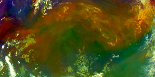
Airmass - 41.5 Degree
The Airmass product is an RGB (Red, Green, Blue) composite based upon data from infrared and water vapour channels from the SEVIRI instrument. It is designed and tuned to monitor the distribution of d...
View Map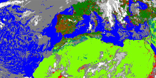
Cloud Analysis - 0 Degree
Identification of scenes type for each image segment. This is an image product derived along with CLA. Applications and Users: Weather forecasting, numerical weather prediction, climate research and m...
View Map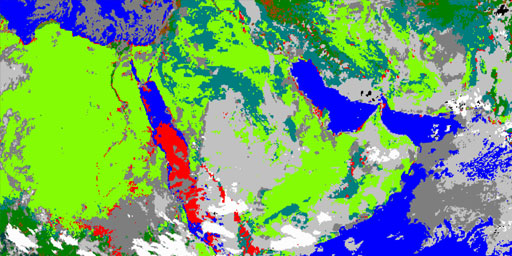
Cloud Analysis - 41.5 Degree
Identification of scenes type for each image segment. This is an image product derived along with CLA. Applications and Users: Weather forecasting, numerical weather prediction, climate research and m...
View Map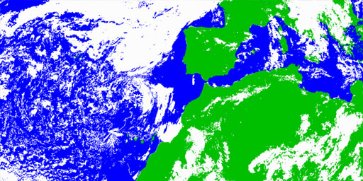
Cloud Mask - 0 Degree
Identification of scenes type for each image segment. This is an image product derived along with CLA. Applications and Users: Weather forecasting, numerical weather prediction, climate research and m...
View Map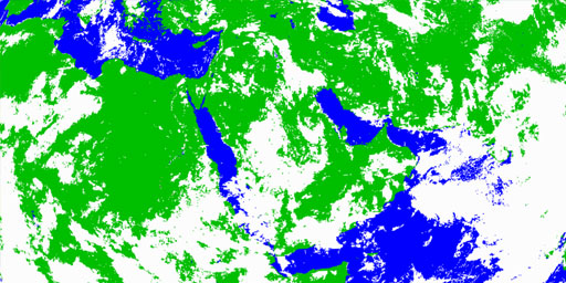
Cloud Mask - 41.5 Degree
Identification of scenes type for each image segment. This is an image product derived along with CLA. Applications and Users: Weather forecasting, numerical weather prediction, climate research and m...
View Map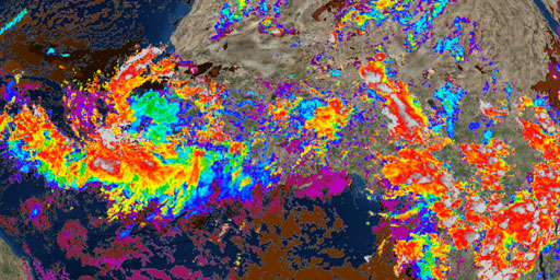
Cloud Top Height - 0 Degree
The product indicates the height of highest cloud. Based on a subset of the information derived during Scenes and Cloud Analysis, but also makes use of other external meteorological data. Applications...
View Map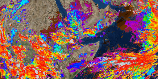
Cloud Top Height - 41.5 Degree
The product indicates the height of highest cloud. Based on a subset of the information derived during Scenes and Cloud Analysis, but also makes use of other external meteorological data. Applications...
View Map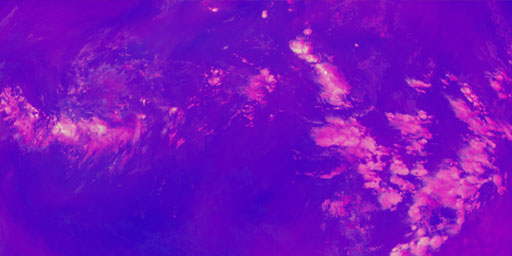
Convection - 0 Degree
The Convection RGB combines the brightness temperature difference (BTD) between the WV6.2 and WV7.3 channels (on red), the BTD between the IR3.9 and IR10.8 channels (on green) and the reflectance diff...
View Map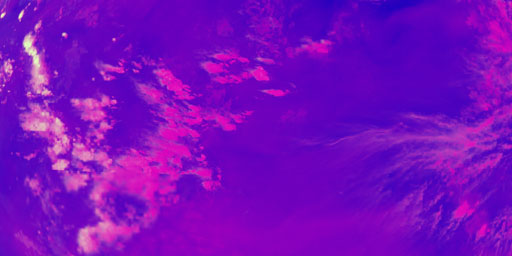
Convection - 41.5 Degree
The Convection RGB combines the brightness temperature difference (BTD) between the WV6.2 and WV7.3 channels (on red), the BTD between the IR3.9 and IR10.8 channels (on green) and the reflectance diff...
View Map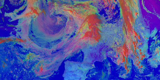
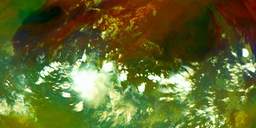
Day Microphysics - 0 Degree
The Day Microphysics RGB (Red, Green, Blue) was inherited from Rosenfeld and Lensky (1998): the VIS0.8 reflectance in red approximates the cloud optical depth and amount of cloud water and ice; the IR...
View Map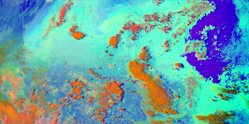
Day Microphysics - 41.5 Degree
The Day Microphysics RGB (Red, Green, Blue) was inherited from Rosenfeld and Lensky (1998): the VIS0.8 reflectance in red approximates the cloud optical depth and amount of cloud water and ice; the IR...
View Map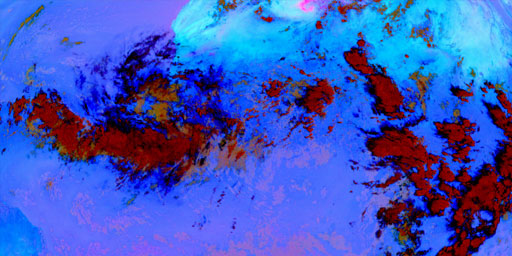
Dust - 0 Degree
The Convection RGB combines the brightness temperature difference (BTD) between the WV6.2 and WV7.3 channels (on red), the BTD between the IR3.9 and IR10.8 channels (on green) and the reflectance diff...
View Map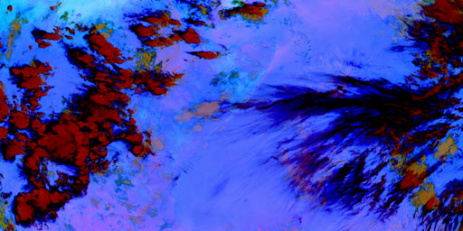
Dust - 41.5 Degree
The Convection RGB combines the brightness temperature difference (BTD) between the WV6.2 and WV7.3 channels (on red), the BTD between the IR3.9 and IR10.8 channels (on green) and the reflectance diff...
View Map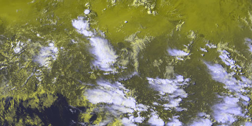
European HRV (E-View) - 0 Degree
The E-View product is an RGB (Red, Green, Blue) composite based upon data from the SEVIRI instrument. It is dedicated to detailed cloud monitoring of the European region. It is based on data from the ...
View Map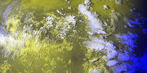
European HRV (E-View) - 41.5 Degree
The E-View product is an RGB (Red, Green, Blue) composite based upon data from the SEVIRI instrument. It is dedicated to detailed cloud monitoring of the European region. It is based on data from the ...
View Map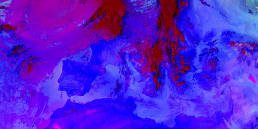
Fog & Low Clouds - 0 Degree
The Fog / Low Clouds product is an RGB (Red, Green, Blue) composite based upon infrared channel data from the Meteosat Second Generation satellite. It is designed and tuned to monitor the evolution of...
View Map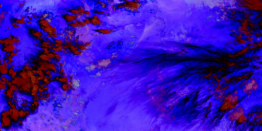
Fog & Low Clouds - 41.5 Degree
The Fog / Low Clouds product is an RGB (Red, Green, Blue) composite based upon infrared channel data from the Meteosat Second Generation satellite. It is designed and tuned to monitor the evolution of...
View Map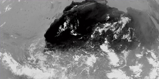
Infrared 0.39 - 0 Degree
Rectified (level 1.5) Meteosat SEVIRI image data. The data is transmitted as High Rate transmissions in 12 spectral channels. Level 1.5 image data corresponds to the geolocated and radiometrically pre...
View Map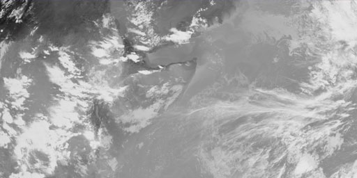
Infrared 0.39 - 41.5 Degree
Rectified (level 1.5) Meteosat SEVIRI image data. The data is transmitted as High Rate transmissions in 12 spectral channels. Level 1.5 image data corresponds to the geolocated and radiometrically pre...
View Map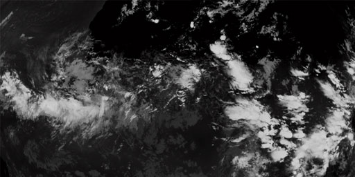
Infrared 10.8 - 0 Degree
Rectified (level 1.5) Meteosat SEVIRI image data. The data is transmitted as High Rate transmissions in 12 spectral channels. Level 1.5 image data corresponds to the geolocated and radiometrically pre...
View Map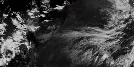
Infrared 10.8 - 41.5 Degree
Rectified (level 1.5) Meteosat SEVIRI image data. The data is transmitted as High Rate transmissions in 12 spectral channels. Level 1.5 image data corresponds to the geolocated and radiometrically pre...
View Map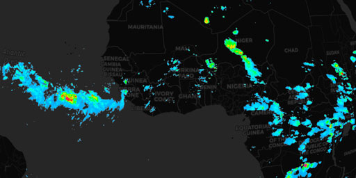
Multi-Sensor Precipitation Estimate - 0 Degree
The Multi-Sensor Precipitation Estimate (MPE) product consists of the near-real-time rain rates in mm/hr for each Meteosat image in original pixel resolution. The algorithm is based on the combination...
View Map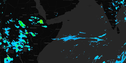
Multi-Sensor Precipitation Estimate - 41.5 Degree
The Multi-Sensor Precipitation Estimate (MPE) product consists of the near-real-time rain rates in mm/hr for each Meteosat image in original pixel resolution. The algorithm is based on the combination...
View Map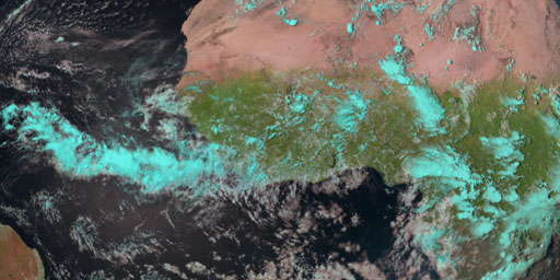
Natural Color - 0 Degree
The Natural Colour RGB (Red, Green, Blue) makes use of three solar channels: NIR1.6, VIS0.8 and VIS0.6. In this colour scheme vegetation appears greenish because of its large reflectance in the VIS0.8...
View Map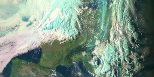
Natural Color - 41.5 Degree
The Natural Colour RGB (Red, Green, Blue) makes use of three solar channels: NIR1.6, VIS0.8 and VIS0.6. In this colour scheme vegetation appears greenish because of its large reflectance in the VIS0.8...
View Map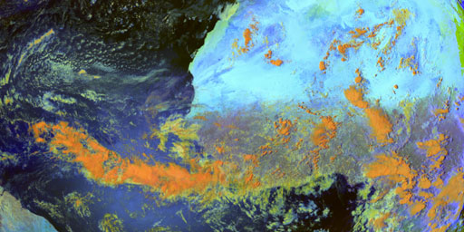
Snow - 0 Degree
The main application of the Snow RGB (Red, Green, Blue) is the detection of fog / low clouds and snow during day-time. In this color scheme snow appears red because of the strong absorption in the NIR...
View Map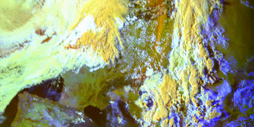
Snow - 41.5 Degree
The main application of the Snow RGB (Red, Green, Blue) is the detection of fog / low clouds and snow during day-time. In this color scheme snow appears red because of the strong absorption in the NIR...
View Map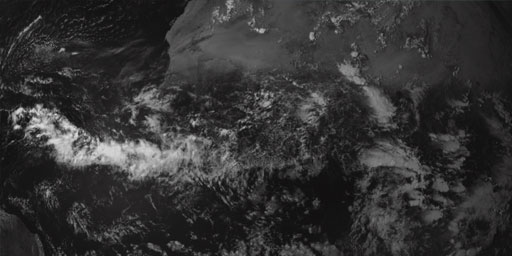
Visual - 0 Degree
Rectified (level 1.5) Meteosat SEVIRI image data. The data is transmitted as High Rate transmissions in 12 spectral channels. Level 1.5 image data corresponds to the geolocated and radiometrically pre...
View Map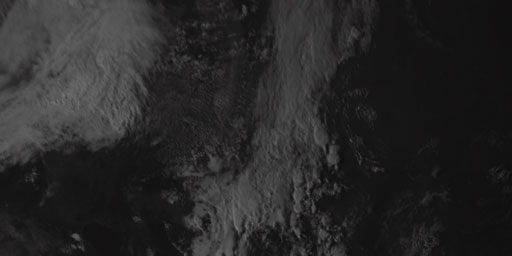
Visual - 41.5 Degree
Rectified (level 1.5) Meteosat SEVIRI image data. The data is transmitted as High Rate transmissions in 12 spectral channels. Level 1.5 image data corresponds to the geolocated and radiometrically pre...
View Map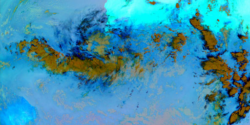
Volcanic Ash - 0 Degree
The Ash product is an RGB (Red, Green, Blue) composite based upon infrared channel data from the Meteosat Second Generation satellite. It is designed to detect ash and sulphur dioxide (SO2) from volca...
View Map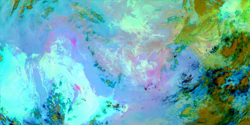
Volcanic Ash - 41.5 Degree
The Ash product is an RGB (Red, Green, Blue) composite based upon infrared channel data from the Meteosat Second Generation satellite. It is designed to detect ash and sulphur dioxide (SO2) from volca...
View Map
Water Vapor - 0 Degree
Rectified (level 1.5) Meteosat SEVIRI image data. The data is transmitted as High Rate transmissions in 12 spectral channels. Level 1.5 image data corresponds to the geolocated and radiometrically pre...
View Map
Water Vapor - 41.5 Degree
Rectified (level 1.5) Meteosat SEVIRI image data. The data is transmitted as High Rate transmissions in 12 spectral channels. Level 1.5 image data corresponds to the geolocated and radiometrically pre...
View MapJim Lee • Creator of ClimateViewer Maps

I am forever a Boy Scout, lifetime artist, nocturnal programmer, music is my life, love is my religion, and I am the luckiest husband and father on Earth. I speak for the trees. I have a passion for mapping, magnets, and mysteries. Feel free to contact me: jim@climateviewer.com