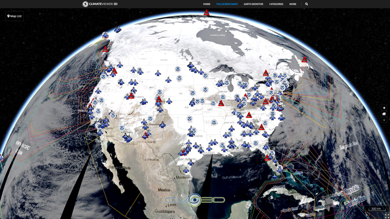
The Multi-Sensor Precipitation Estimate (MPE) product consists of the near-real-time rain rates in mm/hr for each Meteosat image in original pixel resolution. The algorithm is based on the combination of polar orbiter microwave measurements and images in the Meteosat IR channel by a so-called blending technique. The MPE is most suitable for convective precipitation. Applications and Users: Operational weather forecasting in areas with poor or no radar coverage, especially in Africa and Asia.

Map Type
Web Map Service (WMS)
Map Source
https://eumetview.eumetsat.int/geoserv/wms?request=GetCapabilities&service=WMS


Leave Us A Comment