
This section contains maps created by Jim Lee of ClimateViewer News.
Why you should care about Electromagnetic Field (EMF) Exposure
 In addition to the environmental impacts of EMF-generating sites, consider this: human beings are bio-electrical systems. Our hearts and brains are regulated by internal bio-electrical signals. Environmental exposures to artificial EMFs (Electrosmog) can interact with fundamental biological processes in the human body.
More Info • climateviewer.com/emf/ • climateviewer.com/space-weather-modification/ • climateviewer.com/enmod/
Map List
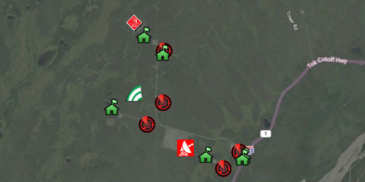
High-Frequency Active Auroral Research Project (HAARP)
The High-frequency Active Auroral Research Program, or HAARP, is a scientific endeavor aimed at studying the properties and behavior of the ionosphere. Operation of the research facility was...
View Map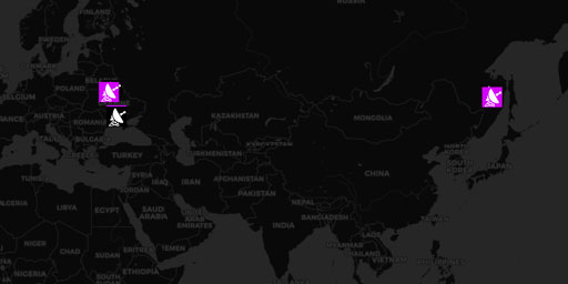
The Russian Woodpeckers (Steel Yard, Steel Work, Duga Radars, & Krug Ionospheric Probes)
Ionospheric Heater powered by Chernobyl reactor. Rendered useless after meltdown. The Russian Woodpecker, Chernobyl Meltdown, and Ionospheric Heating Over the USA (1983-1986) ‘Woodpecker&rsquo...
View Map
Baseline Surface Radiation Network (BSRN)
It is believed that the radiation budget of the Earth-atmosphere system plays a fundamental role in determining the thermal conditions and the circulation of the atmosphere and the ocean, shaping the ...
View Map
Aerosol Robotic Network (AERONET)
The AERONET (AErosol RObotic NETwork) program is a federation of ground-based remote sensing aerosol networks established by NASA and PHOTONS (Univ. of Lille 1, CNES, and CNRS-INSU) and is greatly exp...
View Map
Missile Defense Radars (Star Wars SDI, Space Fence)
This map contains multi-million watt radars searching for nuclear intercontinental ballistic missiles. Optical effects in the ionosphere have been reported above these facilities like artificial auror...
View Map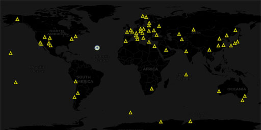
Lasers and Directed-Energy Weapons
This map contains lasers like The Ground-Based Electro-Optical Deep Space Surveillance (GEODSS), International Laser Ranging Service (ILRS), Starfire Optical Range, White Sands Missile Range Directed-...
View Map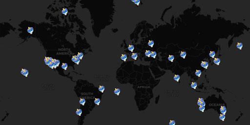
Radio Telescopes and Space Communications Worldwide
This map contains radio telescopes, satellite tracking stations, the extended Very Long Baseline Interferometer (e-VLBI), and deep space communications stations from around the world.
View Map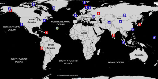
HAARP and Ionospheric Heaters Worldwide
Ionospheric Heater: “Powerful HF transmitter (2.8 to 10 MHz) that induces controlled temporary modification to the electron temperature at desired altitude”. What does that mean? Heater antenna arrays...
View Map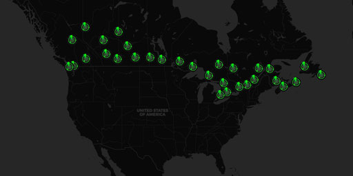
Canadian SIGMET Doppler Radar Stations
Significant Meteorological Information (SIGMET)The Canadian weather radar network consists of 31 weather radars spanning Canada’s most populated regions. Their primary purpose is the early detec...
View Map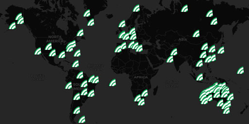
DIGISONDE® Ionosonde Network
DIGISONDE® Station List, UMass Lowell Space Science Lab Lowell Digisonde International manufactures and markets the Digisonde-Portable-Sounder-4D (DPS4D), the latest model in the DIGISONDE® series of ...
View Map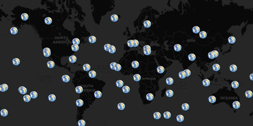
Doppler Orbitography and Radiopositioning Integrated by Satellite (DORIS)
DORIS is a Doppler satellite tracking system developped for precise orbit determination and precise ground location. It is onboard the Cryosat-2, Jason-1, Jason-2, ENVISAT and HY-2A altimetric satelli...
View Map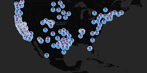
Earth Systems Research Lab (ESRL) Instruments
NOAA Earth Systems Research Lab (ESRL). ESRL was formed to pursue a broad and comprehensive understanding of the Earth system. This system comprises many physical, chemical and biological processes th...
View Map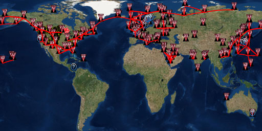
Extremely Low Frequency (ELF, ULF, VLF) Transmission Sites
Alpha RSDN-20, Beta Time Signal, LORAN-C, AWESOME VLF Network, Ground Wave Emergency Network (GWEN), and ELF transmission facilities. Alpha, Beta, and LORAN-C Alpha (also called RSDN-20 ) is a Russian...
View Map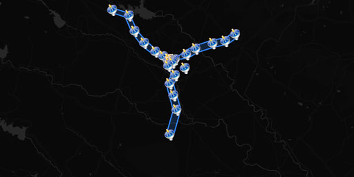
Giant Metrewave Radio Telescope (GMRT)
The GMRT contains 30 fully steerable telescopes. There are fourteen telescopes randomly arranged in the central square 1 km by 1 km in size, with a further sixteen arranged in three arms of a nearly '...
View Map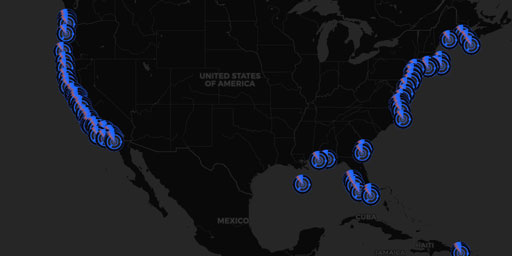
Integrated Ocean Observing System (IOOS) Doppler Radars
High frequency (HF) radar systems measure the speed and direction of ocean surface currents in near real time. Currents in the ocean are equivalent to winds in the atmosphere because they move things ...
View Map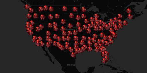
Joint Surveillance System (JSS) Air Route Surveillance Radar (ARSR-4)
Joint Surveillance System (JSS) The JSS is a joint United States Air Force and Federal Aviation Administration system for the atmospheric air defense of North America. It replaced the Semi Automatic G...
View Map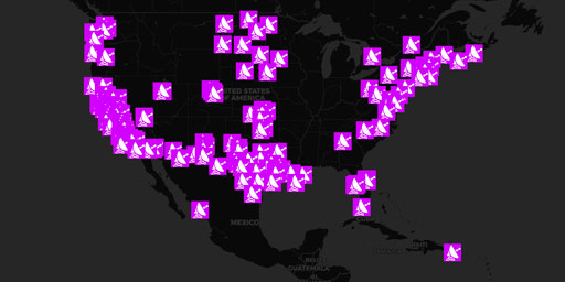
MADIS CAP Wind Radar
Meteorological Assimilation Data Ingest System (MADIS) Cooperative Agency Profilers (CAP) is a cooperative venture between GSD (formerly FSL) and many participating agencies enabling GSD to; acquire p...
View Map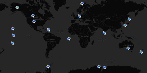
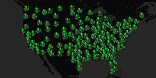
NEXRAD Doppler Radar Stations
Next Generation Radar (NEXRAD)<In 1988, the NEXRAD Agencies established the WSR-88D (Weather Surveillance Radar - 1988 Doppler) Radar Operations Center (ROC) in Norman, Oklahoma. The ROC employees ...
View Map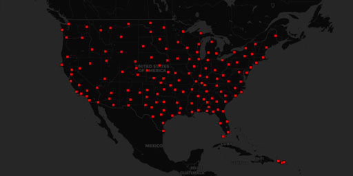
NEXRAD Doppler Radar Stations (Alternative)
Next Generation Radar (NEXRAD)radar.weather.gov WSR-88D Specifications In 1988, the NEXRAD Agencies established the WSR-88D (Weather Surveillance Radar - 1988 Doppler) Radar Operations Center (ROC) in...
View Map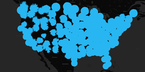
NEXRAD Doppler Radar Stations (Coverage 10,000 ft Above Ground)
Next Generation Radar (NEXRAD)radar.weather.gov WSR-88D Specifications In 1988, the NEXRAD Agencies established the WSR-88D (Weather Surveillance Radar - 1988 Doppler) Radar Operations Center (ROC) in...
View Map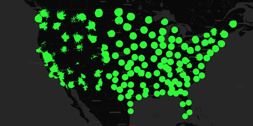
NEXRAD Doppler Radar Stations (Coverage 4,000 ft Above Ground)
Next Generation Radar (NEXRAD)radar.weather.gov WSR-88D Specifications In 1988, the NEXRAD Agencies established the WSR-88D (Weather Surveillance Radar - 1988 Doppler) Radar Operations Center (ROC) in...
View Map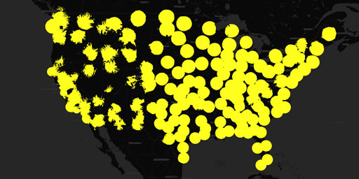
NEXRAD Doppler Radar Stations (Coverage 6,000 ft Above Ground)
Next Generation Radar (NEXRAD)radar.weather.gov WSR-88D Specifications In 1988, the NEXRAD Agencies established the WSR-88D (Weather Surveillance Radar - 1988 Doppler) Radar Operations Center (ROC) in...
View Map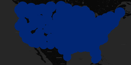
NEXRAD Doppler Radar Stations (Maximum Coverage)
Next Generation Radar (NEXRAD)radar.weather.gov WSR-88D Specifications In 1988, the NEXRAD Agencies established the WSR-88D (Weather Surveillance Radar - 1988 Doppler) Radar Operations Center (ROC) in...
View Map
NOAA Profiler Network (NPN) Wind Radar
High frequency (HF) radar systems measure the speed and direction of ocean surface currents in near real time. Currents in the ocean are equivalent to winds in the atmosphere because they move things ...
View Map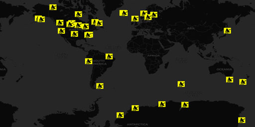
Super Dual Auroral Radar Network (SuperDARN)
The Super Dual Auroral Radar Network (SuperDARN) is an international radar network for studying the upper atmosphere and ionosphere, comprising eleven radars in the northern hemisphere and seven in th...
View Map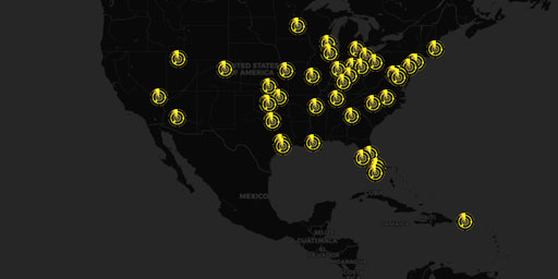
Terminal Doppler Weather Radar (TDWR) Stations
The Terminal Doppler Weather Radar (TDWR) network is a Doppler weather radar system used primarily for the detection of hazardous wind shear conditions, precipitation, and winds aloft on and near majo...
View Map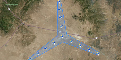
The Expanded Very Large Array (EVLA)
A Radio Telescope to Resolve Cosmic Evolution The EVLA Project (an upgrade to the existing VLA array) will provide a radio telescope of unprecedented sensitivity, resolution, and imaging capability by...
View Map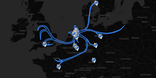
The Low Frequency Array (LOFAR)
Low Frequency ArrayLOFAR website LOFAR on Wikipedia Low Frequency ArrayLOFAR website LOFAR on Wikipedia Low Frequency Array (LOFAR)LOFAR Status Map LOFAR is the Low Frequency Array for radio astronomy...
View Map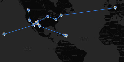
Very Long Baseline Array (VLBA Interferometer)
The Very Long Baseline Array (VLBA) is a system of ten radio telescopes controlled remotely from the Array Operations Center in Socorro, New Mexico (USA) by the National Radio Astronomy Observatory. T...
View MapJim Lee • Creator of ClimateViewer Maps

I am forever a Boy Scout, lifetime artist, nocturnal programmer, music is my life, love is my religion, and I am the luckiest husband and father on Earth. I speak for the trees. I have a passion for mapping, magnets, and mysteries. Feel free to contact me: jim@climateviewer.com