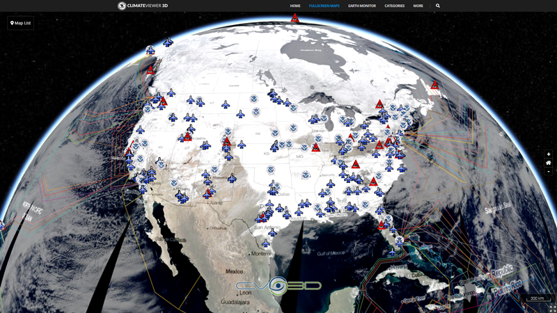
The Super Dual Auroral Radar Network (SuperDARN) is an international radar network for studying the upper atmosphere and ionosphere, comprising eleven radars in the northern hemisphere and seven in the southern hemisphere that operate in the High Frequency (HF) bands between 8 and 22 MHz. The radars measure the Doppler velocity of plasma density irregularities in the ionosphere.
In their standard operating mode each radar scans through 16 beams of azimuthal separation 3.24°, with a total scan time of 1 min. Each beam is divided into 75 range gates of length 45 km, and so in each full scan the radars each cover 52° in azimuth and over 3000 km in range, an area of over 4×10⁶ km².
SuperDARN began in 1983, when the first radar installation was constructed in Labrador, Canada. Source: Wikipedia
John's Hopkins Applied Physics Lab
Virginia Tech SuperDARN
CEDAR: Ground Based Instruments
SuperDARN - A Global View of the Dynamics of High-Latitude Convection
Tags
Map Type
GeoJSON
Map Source
https://climateviewer.org/layers/geojson/2018/SuperDARN-ClimateViewer-3D.geojson
More Info
https://climateviewer.com/haarp/
Attribution
Jim Lee, ClimateViewer NewsMap: Super Dual Auroral Radar Network (SuperDARN) by Jim Lee is licensed under a Creative Commons Attribution-NonCommercial-ShareAlike 4.0 International License. Based on a work at climateviewer.org/. Permissions beyond the scope of this license may be available at climateviewer.com/terms.
 You are free to:
- Share — copy and redistribute the material in any medium or format
- Adapt — remix, transform, and build upon the material
- Attribution — You must give appropriate credit, provide a link to the license, and indicate if changes were made. You may do so in any reasonable manner, but not in any way that suggests the licensor endorses you or your use.
- NonCommercial — You may not use the material for commercial purposes.
- ShareAlike — If you remix, transform, or build upon the material, you must distribute your contributions under the same license as the original.


Leave Us A Comment