
This section contains maps created by George Stiller of MyReadingMapped™ and Jim Lee of ClimateViewer News.
The following documentaries, in the form of satellite maps, cover topics on government and society that you can zoom in close on and enable you to digitally experience the event.
Map List
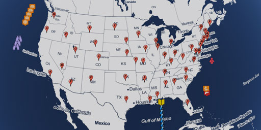
The Effectiveness of Gun Control by State
This documentary, in the form of a satellite map, attempts to make sense of the data on the internet about the effectiveness of gun control used by either side of the issue. The data reported covers t...
View Map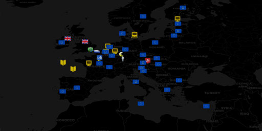
The Effects of No Deal on Brexit
This documentary, in the form of a satellite map, discusses the effects of NO DEAL in the United Kingdom’s exit from the European Union as determined by publications from the Commission to the E...
View Map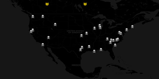
U.S. violence in the cause for a purer community
This documentary, in the form of a satellite map, discusses the effects of NO DEAL in the United Kingdom’s exit from the European Union as determined by publications from the Commission to the E...
View Map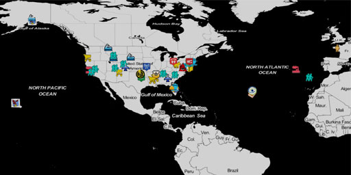
Effects of the U.S. Government Shutdown (2018-2019)
This documentary, in the form of a satellite map, provides examples of the ways and the locations affected by the 2018-19 partial government shutdown, as a result the blackmailing of Congress by the p...
View Map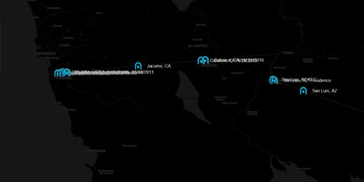
Existing US-Mexico Border Wall Tunnels
This documentary, in the form of a satellite map, indicates the approximate, and in some cases the exact, location of the 20+ existing smuggler tunnels dug under the US-Mexico border between Californi...
View Map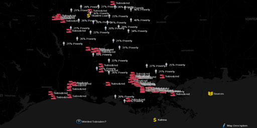
Poverty in a Corporate Welfare State (Louisiana)
This documentary, in the form of a satellite map, covers poverty in a corporate welfare state. It shows both the effectiveness and failure of billions exempted in state job incentive programs in a sta...
View Map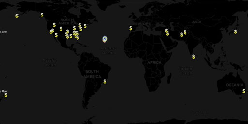
35 Wasteful Government-funded Construction Projects
This documentary, in the form of a satellite map, enables you to zoom in on 35 taxpayer-funded public and private construction projects worldwide that will make you wonder at their audacity and cry du...
View Map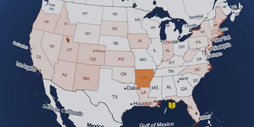
Independent & Unaffiliated Registered Voters By State
It has been reported in The Nation article Figuring Out Why 93 Million People Didn’t Vote, that as many as 43% of the registered voters did not vote in the 2016 Presidential Election; resulting in a m...
View Map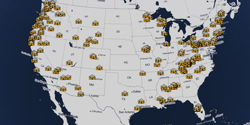
History of Company Towns in the United States
In this documentary, in the form of a satellite map, chronologically tracks 200 years of growth of over 180 company towns across the United States. The intent is to show how these company towns had a ...
View Map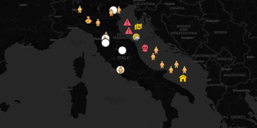
The Italian Renaissance
This documentary, in the form of a satellite map, traces the growth of the Italian Renaissance between the 14th and 16th centuries. With it you can zoom in on the actual buildings constructed during t...
View Map
Democracy of Chaos - Places affected by the 2013 U.S. Government Shutdown
This documentary, in the form of a satellite map, investigates some of the impacts of the 2013 U.S. government shutdown. This map breaks down the impacts on Republican and Democrat states based on the...
View Map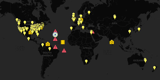
In Search of Utopia - The ultimate paradox
A utopia is an imagined community or society that possesses highly desirable or nearly perfect qualities for its citizens. The opposite of a utopia is a dystopia. One could also say that utopia is a p...
View Map
History of Republic, Forms of Government - The Good, Bad, and Troubled as of 2013
In this documentary, in the form of a satellite map, you can trace the good, the bad, and the troubled forms Republican government. Learn about the different types of Republics: Arab Republics, Confed...
View Map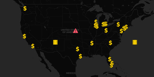
Fortune 500 Companies that received government subsidies while avoiding paying taxes
This documentary, in the form of a satellite map, investigates some of the richest companies in the United States of America that received government funding while avoiding paying taxes. This map obta...
View Map
Five Eyes STONEGHOST Surveillance Network
Big Brother Is Watching!This map covers government surveillance facilities, signals intelligence networks (SIGINT), AUSCANNZUKUS, and The Five Eyes of the New World Order. War leads to the erosion of ...
View Map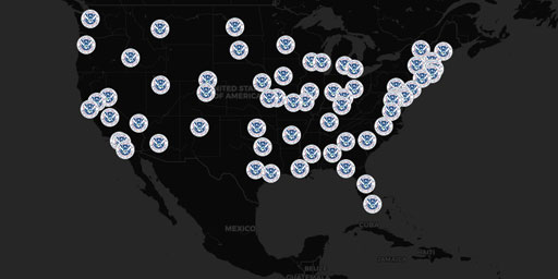
Department of Homeland Security (DHS) Fusion Centers
The following information represents a nearly complete list of the actual physical locations of fusion centers around the United States. If the listed mailing address is identical to the physical addr...
View Map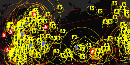
Fortress Russia - Air Defence Radar and Surface to Air Missile (SAM) Sites
Defending Mother Russia Bluffer’s Guide to Fortress Russia (Part 1): Integrated Air Defence of Russia 2010 See KMZ file attached for placemarks. My blog http://planeman-bluffersguide.blogspot.com/ - F...
View Map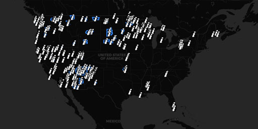
Native American Indian Lands of the United States
This map layer shows Indian lands of the United States. Only areas of 640 acres or more are included. Federally-administered lands within a reservation are included for continuity; these may or may no...
View Map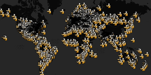
Prisons Worldwide
World Prison Brief (2010) by SergeyUA - World Prison Brief – 143 countries, 5660 places (September, 2010) Africa – 35 countries, 179 places. North America - 14 countries, 1767 places. South America – ...
View Map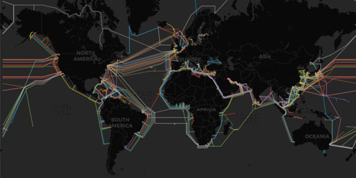
Submarine (underwater) Telecommunication Cables
Map of ocean floor cables tapped by the NSA. This map was made possible in-part by our sponsor: Submarine Cable 101 How many cables are there? As of early 2018, there are approximately 448 subma...
View Map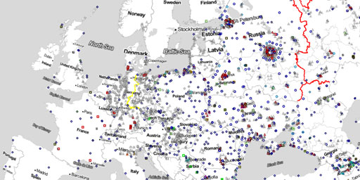
Surface to Air Missile (SAM) Sites Worldwide
LAST UPDATED IN 2013 This reference work contains the locations of SAM sites and related air defense facilities identified in open source imagery, presented as a collection of Google Earth placemarks....
View Map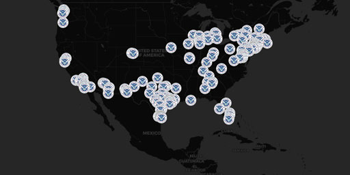
U.S. Border Immigration Crisis (Relocations of Unaccompanied Immigrant Minors, 2014)
UPDATE 9/30/2014: Schools in every state struggle to help kids who crossed the border UPDATE 8/25/2014: The Obama administration has abandoned its months-long search for emergency shelters across the ...
View Map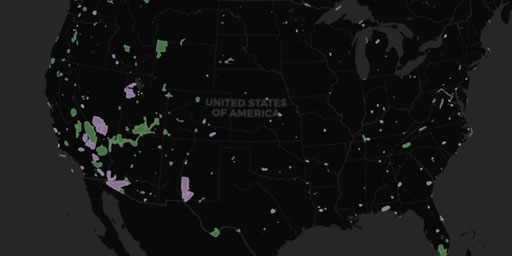
UAV Drone No-Fly Zones in the USA
This layer includes areas in the United States where drones are banned from flying: national parks and military installations. See the FAA’s web site (http://www.faa.gov/uas) for details on curr...
View Map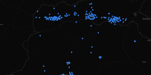
UAV Drone Strikes in Pakistan
Dataset derived by dissolving the features of Dataset from ‘U.S. drone strikes in Pakistan’ with a 500m buffer into unified features by description
View Map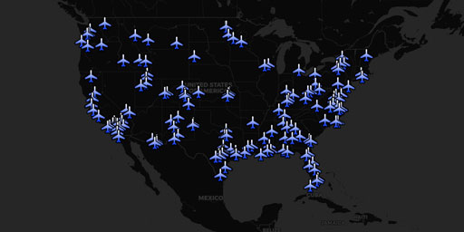
UAV Drones over the USA
Map of drone operators resulting from FOIA requests.EFF Map of Domestic Drone FlightsFAA Releases Thousands of Pages of Drone RecordsUS Air Force Drone Map PDFUS Air Force Drone Map PDF Mirror Wired....
View MapJim Lee • Creator of ClimateViewer Maps

I am forever a Boy Scout, lifetime artist, nocturnal programmer, music is my life, love is my religion, and I am the luckiest husband and father on Earth. I speak for the trees. I have a passion for mapping, magnets, and mysteries. Feel free to contact me: jim@climateviewer.com