
The History and Science section of ClimateView.org features in one place a large and diverse collection of educational interactive maps that enable you to customize your individual self-learning, classroom teaching, or homeschooling efforts. Over 100 maps covering a wide degree of subject matter from ancient ruins, to famous explorer expeditions, oceanography, environmental disasters, disease outbreaks, wars, evolution, migration, green energy solutions, architecture, sunken ships, and more. These maps also have the ability to be combined with other maps on this site to encourage critical and analytical “what if” thinking. For example, here is what combining the Plastic Pollution Worldwide map indicates when combined with the MODIS Aqua Sea Ice map and the Thermohaline Circulation of the Oceans map. Then combine the Plastic Pollution map with the GHRSST L4MUR Sea Surface Temperature map as shown here. Or combine the Plastic Pollution map with the Mass Whale Stranding Site map as shown here. Thus the educational possibilities are endless.
This section contains maps created by George Stiller of MyReadingMapped™ and Jim Lee of ClimateViewer News.
Map Sections
Abandoned and Sunken Ships
Historic Ships Preserved in Maritime Museums
This documentary, in the form of a satellite map, enables you to zoom in on 170 the most historic ships still in existence. These are the famous and cherished ships that form our marine museums. Found...
View Map
Ship Graveyards
We have all seen abandoned ships in movies, well here is your chance to zoom in close and see the hundreds of abandoned and decommissioned ships actually are. Places like Alang, India Ship Breaking Gr...
View Map
Shipwrecks Seen By Satellite
The above satellite map plots over 125 shipwrecks that can be visibly seen around the world in online satellite maps. Some are seen on beaches, or are still on the surface of the water, while others a...
View Map
Sunken Ships of Great Lakes
Bored with those diving sites looking for sunken ships in the Great Lakes that don’t really show anything in the map? Well, in this documentary, in the form of a satellite map, you can zoom in o...
View Map
Sunken Ships of the Atlantic
This documentary, in the form of a satellite map, enables you to zoom in on over 355 sunken ships of the Atlantic. Each location links to a Wikipedia page that describes the ship’s history and actions...
View Map
Sunken Ships of the Indian Ocean and Red Sea
In this documentary, in the form of a satellite map, you can zoom in on the approximately 130 sunken ships of the Indian Ocean and Red Sea. Each location links to a Wikipedia page that describes the s...
View Map
Sunken Ships of the Mediterranean, North, Baltic and Black Seas
In this documentary, in the form of a satellite map, you can zoom in on the approximately 225 sunken ships of the Mediterranean, North, Baltic and Black Seas. Each location links to a Wikipedia page t...
View Map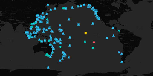
Sunken Ships of the Pacific Ocean
This documentary, in the form of a satellite map, enables you to zoom in on over 345 sunken ships of the Pacific. Each location links to a Wikipedia page that describes the ship’s history and actions....
View MapAncient Ruins
Ancient Lost Cities
In this documentary, in the form of a satellite map, you can zoom in on over 130 ancient lost cities around the world. Each location is linked to a Wikipedia page describing the location. Zooming in o...
View Map
Ancient Pyramids of the Aztec, Egyptian, Incas, Mayans and Chinese
This map, in the form of a satellite map, enables you to zoom in close on approximately 100 color-coded ancient pyramids of the Aztec, Egyptian, Incas, Mayans and Chinese civilizations. And some moder...
View Map
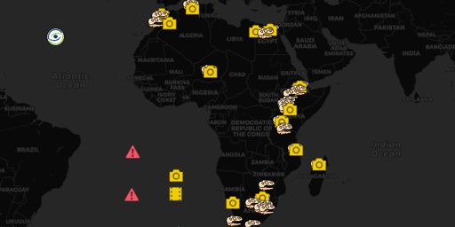
Ancient Ruins of Africa
In this documentary, in the form of a satellite map, you can zoom in on over 150 ancient ruins of Africa. Thus, you can actually see the ancient village of Mukuni, where Dr. David Livingstone visited,...
View Map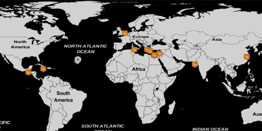
Ancient Submerged Cities
In this documentary, in the form of a satellite map, plots the locations of ancient submerged cities discovered along the coastline that were sunk due to catastrophic events like earthquakes or rising...
View Map
Ancient and other Ruins of Asia
In this documentary, in the form of satellite map, you can zoom in close and see the actual ancient and other ruins of Asia. Thus, you can actually see the palaces, forts, churches, ancient villages, ...
View Map
Ancient and other Ruins of Europe
In this documentary, in the form of satellite map, you can zoom in close and see the actual ancient and other ruins of Europe. Thus, you can actually see the palaces, forts, churches, ancient villages...
View Map
Ancient and other Ruins of South and Central America
In this documentary, in the form of satellite map, you can see the ancient and other ruins, of South and Central America. This map enables you to zoom-in close on approximately 100 actual ancient Azte...
View Map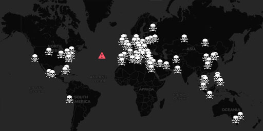
Cities of the Dead - Heaven or Hell
This documentary, in the form of a satellite map, examines the Cities of the Dead and the weird ways we paid respect to our dead. These places are either heaven or hell depending on how one lived his ...
View Map
Classic European Castles
In this documentary, in the form of a satellite map, you can zoom in on the famous castles of Europe. This map combines 130 the castles on Wikipedia’s List of Castles, so you won’t have to view ...
View Map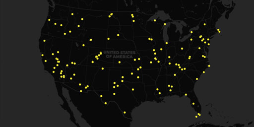
Ghost Towns of America
In this documentary, in the form of a satellite map, you can locate and zoom on the ruins of buildings in on over 125 ghost towns across the United States. Each Ghost Town has a link to a Wikipedia pa...
View Map
Ghost Towns of Asia
In this documentary, in the form of an interactive satellite map, you can zoom in real close on the ancient ruins of Asia and see the actual forts, shrines, palaces and villages that formed the Asia o...
View Map
Ruins of the United States and Other National Historical Sites
In this documentary, in the form of satellite map, you can see the ancient and other ruins, of South and Central America. This map enables you to zoom-in close on approximately 100 actual ancient Azte...
View MapArchitecture

Antarctic Research Bases Cold and Desolate Places
A number of governments maintain permanent research stations in Antarctica and these bases are widely distributed. Unlike the drifting ice stations set up in the Arctic, the research stations of the A...
View Map
Cities of the Dead - Heaven or Hell
This documentary, in the form of a satellite map, examines the Cities of the Dead and the weird ways we paid respect to our dead. These places are either heaven or hell depending on how one lived his ...
View Map
Space Centers and Non-Military Launch Sites
This documentary, in the form of a satellite map, enables you to zoom in on the non-military government and private spaceports around the world. Spaceports that most of us did not know even existed. M...
View MapAtmospheric Sensors & EMF Sites

Aerosol Robotic Network (AERONET)
The AERONET (AErosol RObotic NETwork) program is a federation of ground-based remote sensing aerosol networks established by NASA and PHOTONS (Univ. of Lille 1, CNES, and CNRS-INSU) and is greatly exp...
View Map
Antarctic Research Bases Cold and Desolate Places
A number of governments maintain permanent research stations in Antarctica and these bases are widely distributed. Unlike the drifting ice stations set up in the Arctic, the research stations of the A...
View Map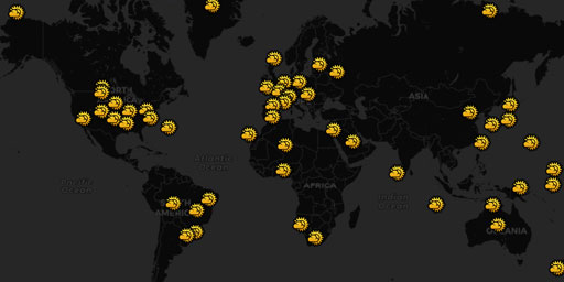
Baseline Surface Radiation Network (BSRN)
It is believed that the radiation budget of the Earth-atmosphere system plays a fundamental role in determining the thermal conditions and the circulation of the atmosphere and the ocean, shaping the ...
View Map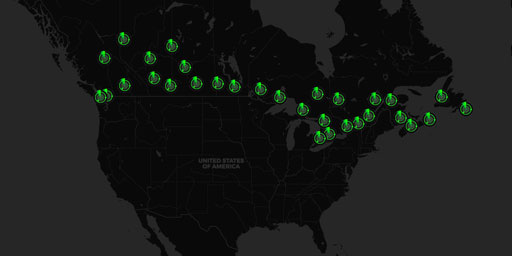
Canadian SIGMET Doppler Radar Stations
Significant Meteorological Information (SIGMET)The Canadian weather radar network consists of 31 weather radars spanning Canada’s most populated regions. Their primary purpose is the early detec...
View Map
DIGISONDE® Ionosonde Network
DIGISONDE® Station List, UMass Lowell Space Science Lab Lowell Digisonde International manufactures and markets the Digisonde-Portable-Sounder-4D (DPS4D), the latest model in the DIGISONDE® series of ...
View Map
Doppler Orbitography and Radiopositioning Integrated by Satellite (DORIS)
DORIS is a Doppler satellite tracking system developped for precise orbit determination and precise ground location. It is onboard the Cryosat-2, Jason-1, Jason-2, ENVISAT and HY-2A altimetric satelli...
View Map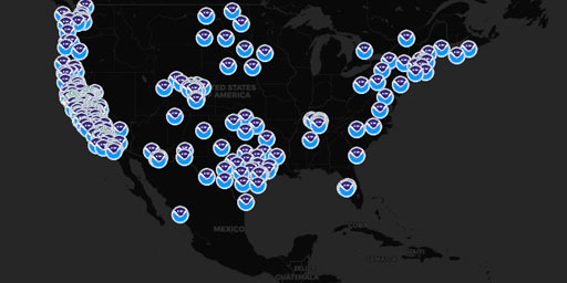
Earth Systems Research Lab (ESRL) Instruments
NOAA Earth Systems Research Lab (ESRL). ESRL was formed to pursue a broad and comprehensive understanding of the Earth system. This system comprises many physical, chemical and biological processes th...
View Map
Extremely Low Frequency (ELF, ULF, VLF) Transmission Sites
Alpha RSDN-20, Beta Time Signal, LORAN-C, AWESOME VLF Network, Ground Wave Emergency Network (GWEN), and ELF transmission facilities. Alpha, Beta, and LORAN-C Alpha (also called RSDN-20 ) is a Russian...
View Map
Fortress Russia - Air Defence Radar and Surface to Air Missile (SAM) Sites
Defending Mother Russia Bluffer’s Guide to Fortress Russia (Part 1): Integrated Air Defence of Russia 2010 See KMZ file attached for placemarks. My blog http://planeman-bluffersguide.blogspot.com/ - F...
View Map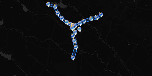
Giant Metrewave Radio Telescope (GMRT)
The GMRT contains 30 fully steerable telescopes. There are fourteen telescopes randomly arranged in the central square 1 km by 1 km in size, with a further sixteen arranged in three arms of a nearly '...
View Map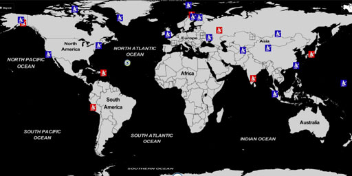
HAARP and Ionospheric Heaters Worldwide
Ionospheric Heater: “Powerful HF transmitter (2.8 to 10 MHz) that induces controlled temporary modification to the electron temperature at desired altitude”. What does that mean? Heater antenna arrays...
View Map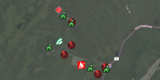
High-Frequency Active Auroral Research Project (HAARP)
The High-frequency Active Auroral Research Program, or HAARP, is a scientific endeavor aimed at studying the properties and behavior of the ionosphere. Operation of the research facility was...
View Map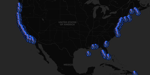
Integrated Ocean Observing System (IOOS) Doppler Radars
High frequency (HF) radar systems measure the speed and direction of ocean surface currents in near real time. Currents in the ocean are equivalent to winds in the atmosphere because they move things ...
View Map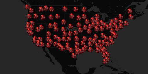
Joint Surveillance System (JSS) Air Route Surveillance Radar (ARSR-4)
Joint Surveillance System (JSS) The JSS is a joint United States Air Force and Federal Aviation Administration system for the atmospheric air defense of North America. It replaced the Semi Automatic G...
View Map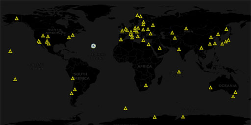
Lasers and Directed-Energy Weapons
This map contains lasers like The Ground-Based Electro-Optical Deep Space Surveillance (GEODSS), International Laser Ranging Service (ILRS), Starfire Optical Range, White Sands Missile Range Directed-...
View Map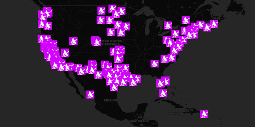
MADIS CAP Wind Radar
Meteorological Assimilation Data Ingest System (MADIS) Cooperative Agency Profilers (CAP) is a cooperative venture between GSD (formerly FSL) and many participating agencies enabling GSD to; acquire p...
View Map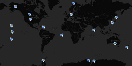
Missile Defense Radars (Star Wars SDI, Space Fence)
This map contains multi-million watt radars searching for nuclear intercontinental ballistic missiles. Optical effects in the ionosphere have been reported above these facilities like artificial auror...
View Map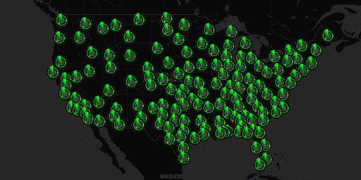
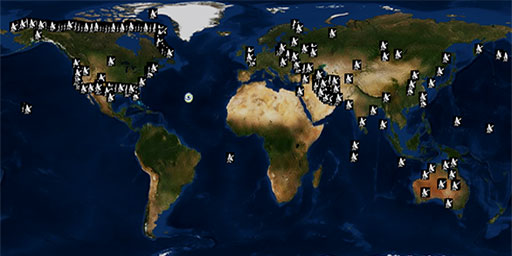
NEXRAD Doppler Radar Stations
Next Generation Radar (NEXRAD)<In 1988, the NEXRAD Agencies established the WSR-88D (Weather Surveillance Radar - 1988 Doppler) Radar Operations Center (ROC) in Norman, Oklahoma. The ROC employees ...
View Map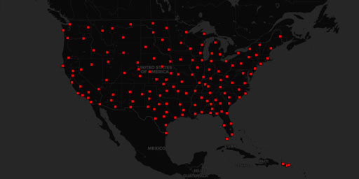
NEXRAD Doppler Radar Stations (Alternative)
Next Generation Radar (NEXRAD)radar.weather.gov WSR-88D Specifications In 1988, the NEXRAD Agencies established the WSR-88D (Weather Surveillance Radar - 1988 Doppler) Radar Operations Center (ROC) in...
View Map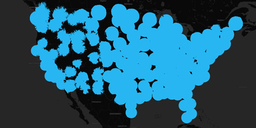
NEXRAD Doppler Radar Stations (Coverage 10,000 ft Above Ground)
Next Generation Radar (NEXRAD)radar.weather.gov WSR-88D Specifications In 1988, the NEXRAD Agencies established the WSR-88D (Weather Surveillance Radar - 1988 Doppler) Radar Operations Center (ROC) in...
View Map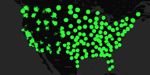
NEXRAD Doppler Radar Stations (Coverage 4,000 ft Above Ground)
Next Generation Radar (NEXRAD)radar.weather.gov WSR-88D Specifications In 1988, the NEXRAD Agencies established the WSR-88D (Weather Surveillance Radar - 1988 Doppler) Radar Operations Center (ROC) in...
View Map
NEXRAD Doppler Radar Stations (Coverage 6,000 ft Above Ground)
Next Generation Radar (NEXRAD)radar.weather.gov WSR-88D Specifications In 1988, the NEXRAD Agencies established the WSR-88D (Weather Surveillance Radar - 1988 Doppler) Radar Operations Center (ROC) in...
View Map
NEXRAD Doppler Radar Stations (Maximum Coverage)
Next Generation Radar (NEXRAD)radar.weather.gov WSR-88D Specifications In 1988, the NEXRAD Agencies established the WSR-88D (Weather Surveillance Radar - 1988 Doppler) Radar Operations Center (ROC) in...
View Map
NOAA Profiler Network (NPN) Wind Radar
High frequency (HF) radar systems measure the speed and direction of ocean surface currents in near real time. Currents in the ocean are equivalent to winds in the atmosphere because they move things ...
View Map
Radio Telescopes and Space Communications Worldwide
This map contains radio telescopes, satellite tracking stations, the extended Very Long Baseline Interferometer (e-VLBI), and deep space communications stations from around the world.
View Map
Space Centers and Non-Military Launch Sites
This documentary, in the form of a satellite map, enables you to zoom in on the non-military government and private spaceports around the world. Spaceports that most of us did not know even existed. M...
View Map
Super Dual Auroral Radar Network (SuperDARN)
The Super Dual Auroral Radar Network (SuperDARN) is an international radar network for studying the upper atmosphere and ionosphere, comprising eleven radars in the northern hemisphere and seven in th...
View Map
Surface to Air Missile (SAM) Sites Worldwide
LAST UPDATED IN 2013 This reference work contains the locations of SAM sites and related air defense facilities identified in open source imagery, presented as a collection of Google Earth placemarks....
View Map
Terminal Doppler Weather Radar (TDWR) Stations
The Terminal Doppler Weather Radar (TDWR) network is a Doppler weather radar system used primarily for the detection of hazardous wind shear conditions, precipitation, and winds aloft on and near majo...
View Map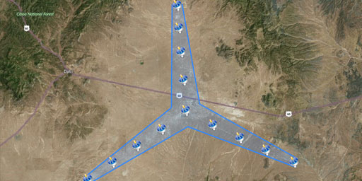
The Expanded Very Large Array (EVLA)
A Radio Telescope to Resolve Cosmic Evolution The EVLA Project (an upgrade to the existing VLA array) will provide a radio telescope of unprecedented sensitivity, resolution, and imaging capability by...
View Map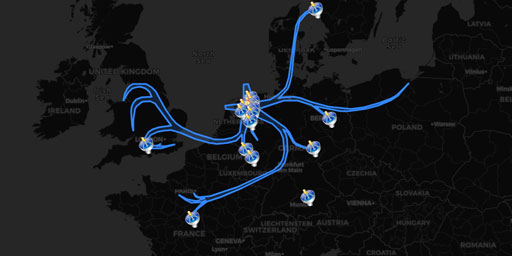
The Low Frequency Array (LOFAR)
Low Frequency ArrayLOFAR website LOFAR on Wikipedia Low Frequency ArrayLOFAR website LOFAR on Wikipedia Low Frequency Array (LOFAR)LOFAR Status Map LOFAR is the Low Frequency Array for radio astronomy...
View Map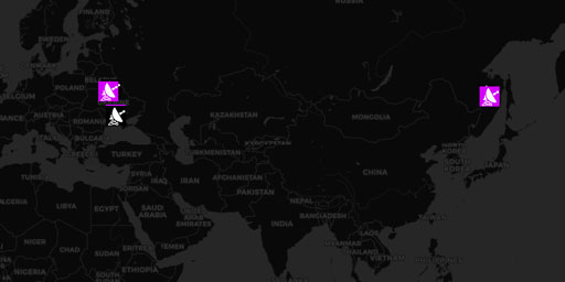
The Russian Woodpeckers (Steel Yard, Steel Work, Duga Radars, & Krug Ionospheric Probes)
Ionospheric Heater powered by Chernobyl reactor. Rendered useless after meltdown. The Russian Woodpecker, Chernobyl Meltdown, and Ionospheric Heating Over the USA (1983-1986) ‘Woodpecker&rsquo...
View Map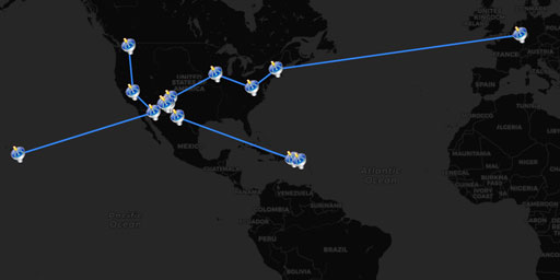
Very Long Baseline Array (VLBA Interferometer)
The Very Long Baseline Array (VLBA) is a system of ten radio telescopes controlled remotely from the Array Operations Center in Socorro, New Mexico (USA) by the National Radio Astronomy Observatory. T...
View MapConquerors and Wars
The American Revolution
In this documentary, in the form of a satellite map, traces the approximately 190 battles and other events of the American Revolution between the years of 1774 through 1784. With it you can zoom in on...
View Map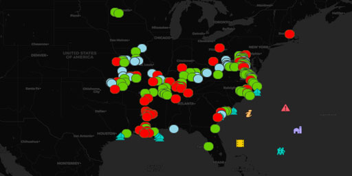
The Civil War Part 1: Lee's Southern Assertiveness (1861-1863)
With this 2-map documentary, in the form of satellite map, you can zoom in on over 390 Civil War battlefields of the American Civil War. • Part-1: Lee’s Southern Assertiveness years of 1861 to m...
View Map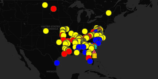
The Civil War Part 2: Grant's and Sherman's Divide and Conquer (mid 1863-1865)
With this 2-map documentary, in the form of satellite map, you can zoom in on over 390 Civil War battlefields of the American Civil War. • Part-1: Lee’s Southern Assertiveness years of 1861 to m...
View Map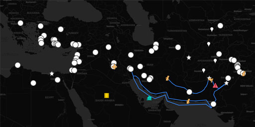
The Wars of Alexander the Great
In this documentary, in the form of a satellite map, you can zoom in on the actual cities conquered on Alexander the Great’s way to greatness. Unlike most maps, this map enables you to digitally exper...
View Map
World War 2 Battles: The Western Front
In this documentary, in the form of a satellite map, you can zoom in on the World War II battlefields on the Western Front from April of 1940 to April of 1945. The Blue locations are the German offens...
View MapDisease Outbreaks
Candida auris - the medical facility nightmare
This documentary, in the form of a satellite map, traces history of the antifungal drug-resistant disease Candida auris that originates in healthcare facilities worldwide. According to the Center for ...
View Map
Infectious Disease Quarantines
This documentary, in the form of a satellite map, traces quarantines due to illnesses like the bubonic plague, cholera, influenza, mumps, smallpox, swine flu, and alien threats. Considering all the wo...
View Map
Mad Cow Disease Outbreaks
This documentary, in the form of a satellite map, tracks the history of the Mad Cow disease outbreaks in regard to both Bovine Spongiform Encephalopathy (BSE), and the human Variant CJD (vCJD). Each l...
View Map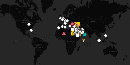
Middle East Respiratory Syndrome (MERS) Outbreaks
This documentary, in the form of a satellite map, traces the spread of Middle East Respiratory Syndrome (MERS) outbreaks. Unlike most of the MERS-CoV maps found online, this map enables you to zoom in...
View Map
The Spread of Ebola Outbreaks (1976-2015)
This documentary, in the form of a satellite map, tracks the history of the deadly Ebola Virus that spread throughout central Africa between 1976 and 2015 and made headline news around the world. The ...
View Map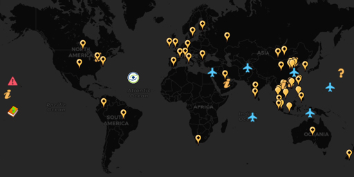
The Worldwide Outbreak of SARS
This documentary, in the form of a satellite map, tracks the spread of Severe Acute Respiratory Syndrome (SARS) around the world between November 2002 and June of 2003 from community to community. In ...
View Map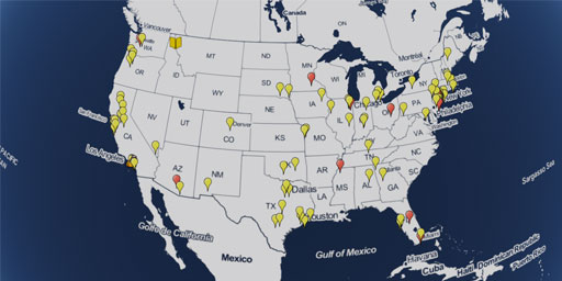
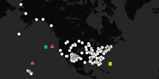
U.S. Measles Outbreaks by County (2012-2019)
This map tracks measles cases in the United States reported by the Center for Disease Control (CDC) and other sources. One of the surprising aspects of this outbreak is that the bulk of this outbreak ...
View Map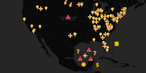
U.S. Meningitis Outbreak (2012-2013)
This documentary, in the form of a satellite map, tracks the U.S. Meningitis Outbreak of 2012-2013 that affected twenty states across the U.S. What is unique to this map is that it tracks the healthca...
View MapEnergy and Pollution
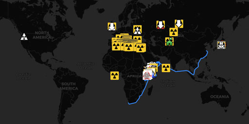
10 Most Radioactive Locations on Earth
Do you know the dirty side of the nuclear industry? After researching this article by brainz.org, we were shocked to find out how truly awful our radioactive waste problem is and how it is going to be...
View Map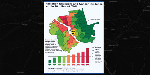
1979 Three Mile Island Meltdown
Investigation: Revelations about Three Mile Island disaster raise doubts over nuclear plant safety A special Facing South investigation by Sue Sturgis It was April Fool’s Day, 1979 – 30 ye...
View Map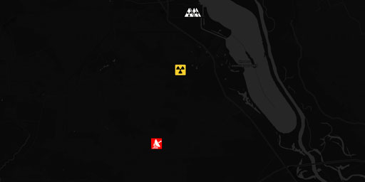
1986 Chernobyl Reactor Meltdown
The Russian Woodpecker, Chernobyl Meltdown, and Ionospheric Heating Over the USA (1983-1986) Ionospheric Heater powered by Chernobyl reactor. Rendered useless after meltdown. See documentary: The Ru...
View Map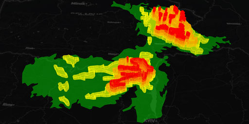
1986 Chernobyl Reactor Radioactive Fallout
‘How we made the Chernobyl rain’ - April 22, 2007 Russian military pilots have described how they created rain clouds to protect Moscow from radioactive fallout after the Chernobyl nuclear disaster in...
View Map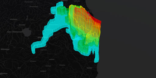
2011 Fukushima Daiichi Radioactive Fallout
The 2011 earthquake and tsunami was a tragedy that destroyed homes and lives, but the effects of the Fukushima nuclear power plant may be the most long-lasting danger. The worst nuclear accident since...
View Map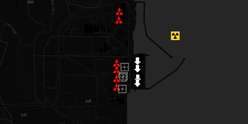
2011 Fukushima Daiichi Reactor Meltdown
The 2011 earthquake and tsunami was a tragedy that destroyed homes and lives, but the effects of the Fukushima nuclear power plant may be the most long-lasting danger. The worst nuclear accident since...
View Map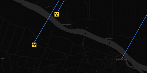
2014 Honeywell UF6 Processing Facility Radiation Release
HAZMAT in USA on Monday, 27 October, 2014 at 03:49 (03:49 AM) UTC. Video 1 - Video 2 A Honeywell spokesperson says there is not an active release at the plant anymore. Emergency personnel are still wo...
View Map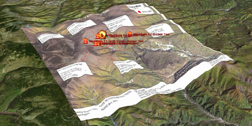
2017 North Korean Nuclear Test Mountain Collapse
Did HAARP Destroy North Korea’s Nuclear Program? Ionospheric heating and creating powerful ELF waves to probe underground structures leads to earthquakes! https://climateviewer.com/2018/04/28/di...
View Map
2018 URANIUM LEAK! Six Foot Hole at Westinghouse Nuclear Processing Facility in Columbia, South Carolina
(July 10, 2018) OFFSITE NOTIFICATION TO SOUTH CAROLINA DEPARTMENT OF HEALTH AND ENVIRONMENTAL CONTROL “For this event, notification was made to the South Carolina (SC) Department of Health and Environ...
View Map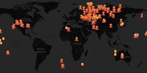
2615 Nuclear Detonations and Test Explosions
“Nuclear testing database” Initially compiled by Wm. Robert Johnston Recompiled and updated by Lyle McElhaney, Lmc@ThistleKeep.com. Version 3.3 (1 Jan 2012) for Google Earth, submitted to ...
View Map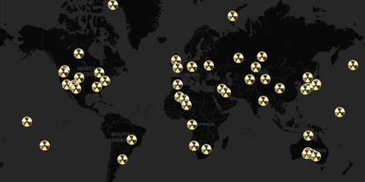
50 Nuclear Nightmares (Hibakusha Worldwide)
Originally created by Dr. Alex Rosen, Hibakusa 'explosion-affected people' Worldwide The exhibition “Hibakusha Worldwide” is dedicated to the millions of people whose lives have been affected by the n...
View Map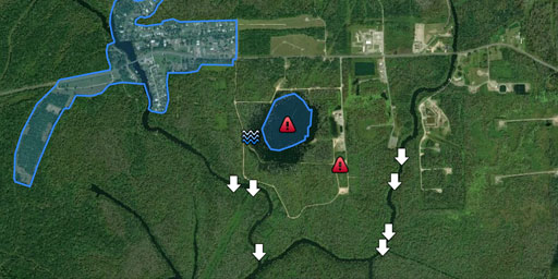
Bayou Corne, Louisiana Sinkhole
Drilling accident leads to massive sinkhole, town under threat. Ground Gives Way, and a Louisiana Town Struggles to Find Its FootingVideos Bayou Corne Sinkhole Update - Company names & numbers - 0...
View Map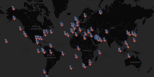
Black Tides: The Worst Oil Spill Disasters in History
This map documents some of the largest drilling accident related methane releases into the atmosphere. These “invisible spills” are in addition to the millions of wells worldwide that can ...
View Map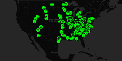
Coal Ash Ponds
Natural Resource Defense Council (NRDC) “The horror is unimaginable. A community suffering severe health effects, with more than a thousand resIents blaming coal ash contamination for causing their si...
View Map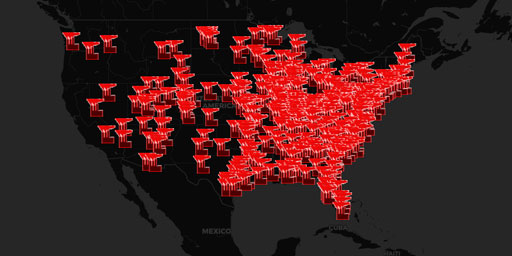
Coal Power Plants (Current)
Natural Resource Defense Council (NRDC) “Power plants produce about 130 million tons of contaminated waste every year, and the federal government has failed to regulate it.” Across the nation, coal-fi...
View Map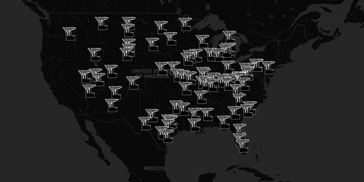
Coal Power Plants (Future)
Natural Resource Defense Council (NRDC) “Power plants produce about 130 million tons of contaminated waste every year, and the federal government has failed to regulate it.” Across the nation, coal-fi...
View Map
Concentrated Solar Power and Photovoltaic Parks (2018)
This documentary, in the form of a satellite map, examines 235 operational and planned solar power plants around the world in 2018. This map enables you to zoom in close on both Concentrated Solar Pow...
View Map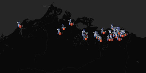
Fracking Alaska's North Slope
Gas Hydrate Prospecting Using Well Cuttings and Mud-Gas Geochemistry from 35 Wells, North Slope, Alaska.
View Map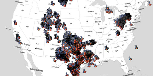
Fracking America (Chemical Database)
SkyTruth released a database on the chemicals used during the process of hydraulic fracturing, or “fracking,” at oil and gas wells across the United States. These data (which took a heckuva lot of wor...
View Map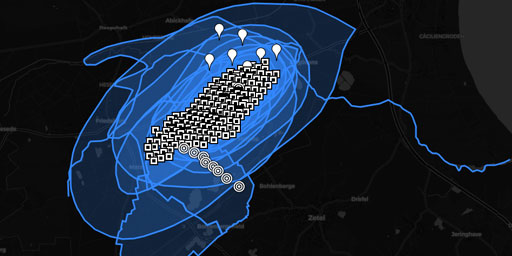
Fracking Cavern Field, Etzel, Germany
Provided by Anonymous ClimateViewerIVG Caverns has developed its cavern storage site at the Etzel site for the past four decades. Caverns tenants include renowned companies in the energy industry and ...
View Map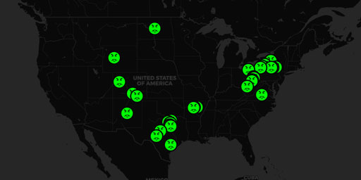
Fracking Drinking Water Impacts (NRDC 2011)
National Resource Defense Council (NRDC) List of Suspected Drinking Water Impacts (2011) NRDC supports federal regulation of hydraulic fracturing under the Safe Drinking Water Act. We believe this is ...
View Map
Fracking Shale Gas Basins
Shale gas in the United States is rapidly increasing as an available source of natural gas. Led by new applications of hydraulic fracturing technology and horizontal drilling, development of new sourc...
View Map
Map of Environmental Disasters
This documentary, in the form of a satellite map, investigates some of the worst environmental disasters that threaten life on this planet. It covers cover ch subjects as oil, cadmium cyanide, radiati...
View Map
Methane Release and Fugitive Emissions from Drilling
This map documents some of the largest drilling accident related methane releases into the atmosphere. These “invisible spills” are in addition to the millions of wells worldwide that can ...
View Map
Municipal Waste To Energy Plants - The privatization of government services
This documentary, in the form of a satellite map, examines the growth of privatization of government services in regard to Waste-to-Energy plants. This is one of those “damned if you do, damned ...
View Map
Nuclear Reactors (Boiling Water)
The nuclear accident at the Fukushima Daichii power plant will have consequences for the future of nuclear power in Japan and elsewhere. To get a better idea of the world’s current tally of nuclear re...
View Map
Nuclear Reactors (Gas Cooled)
The nuclear accident at the Fukushima Daichii power plant will have consequences for the future of nuclear power in Japan and elsewhere. To get a better idea of the world’s current tally of nuclear re...
View Map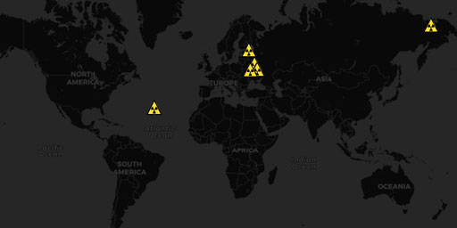
Nuclear Reactors (Light Water Graphite)
The nuclear accident at the Fukushima Daichii power plant will have consequences for the future of nuclear power in Japan and elsewhere. To get a better idea of the world’s current tally of nuclear re...
View Map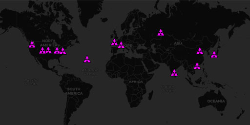
Nuclear Reactors (Other)
The nuclear accident at the Fukushima Daichii power plant will have consequences for the future of nuclear power in Japan and elsewhere. To get a better idea of the world’s current tally of nuclear re...
View Map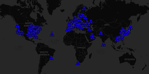
Nuclear Reactors (Pressurized Heavy Water)
The nuclear accident at the Fukushima Daichii power plant will have consequences for the future of nuclear power in Japan and elsewhere. To get a better idea of the world’s current tally of nuclear re...
View Map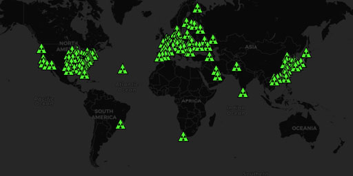
Nuclear Reactors (Pressurized Water)
The nuclear accident at the Fukushima Daichii power plant will have consequences for the future of nuclear power in Japan and elsewhere. To get a better idea of the world’s current tally of nuclear re...
View Map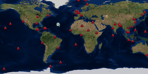
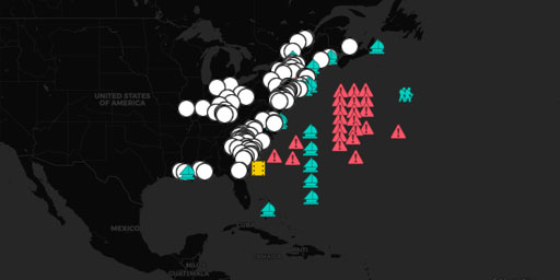
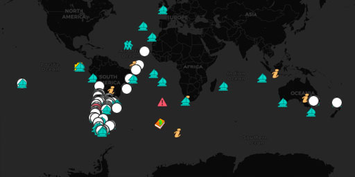
Plastic Pollution Worldwide
This documentary, in the form of a satellite map, shows how wide spread our plastic pollution problem is worldwide. At the rate the world economy is growing the planet will never recover from the plas...
View Map
Restored, Renewable, Recreational, and Residential Toxic Trash Dumps
This documentary, in the form of a satellite map, examines our reuse of our landfills and trash dumps, as though the long-term toxicity they represent is suddenly no longer of anyone’s concern. ...
View Map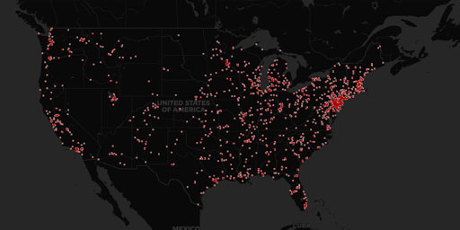
Superfund Sites (EPA TOXMAP)
EPA TRI is a resource for learning about toxic chemical releases and pollution prevention activities reported by industrial and federal facilities. TRI data support informed decision-making by communi...
View Map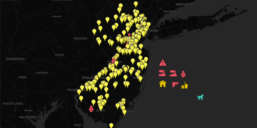
The Price of Progress - New Jersey's Toxic Legacy
This documentary, in the form of a satellite map, tracks the toxic Superfund history of one of the 13 original colonies on its path to becoming the 7th leading U.S. state in Gross Domestic Product (GD...
View Map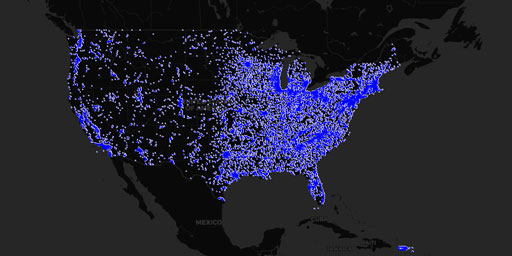
Toxic Release Inventory Facilities (EPA TOXMAP, 1988-2016)
EPA TRI is a resource for learning about toxic chemical releases and pollution prevention activities reported by industrial and federal facilities. TRI data support informed decision-making by communi...
View Map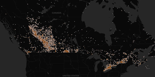
Toxic Release Inventory Facilities, NPRI Canada (EPA TOXMAP)
EPA TRI is a resource for learning about toxic chemical releases and pollution prevention activities reported by industrial and federal facilities. TRI data support informed decision-making by communi...
View MapExplorers
Charles Darwin's Voyage of the Beagle (1832-1836)
In this documentary, in the form of a satellite map, you can zoom in on and follow the adventures of Charles Darwin as he traveled the world for six years collecting data for his radical theories on b...
View Map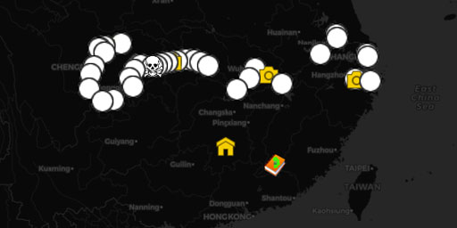
Isabella Lucy Bird's Exploration of the Yangtze River and Beyond (1896)
In this documentary, in the form of a satellite map, you can zoom in on the 1896 journey of Isabella Lucy Bird as she traveled up the Yangtze River Valley and across the Sze Chuan Plain. Unlike most m...
View Map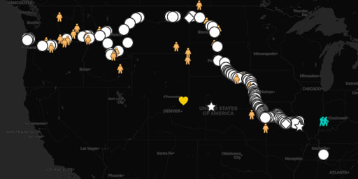
Lewis and Clark's Expedition - 1804 through 1805
In this documentary, in the form of a satellite map, you can zoom in on the Lewis and Clark Expedition 1804 through 1805 from the Mississippi River to the Pacific Ocean. Unlike most maps, this map ena...
View Map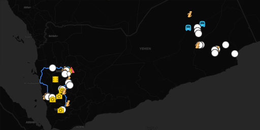
Mikael Strandberg's Yemen Expedition (2012)
This documentary, in the form of a satellite map, tracked the explorations of the famous Swedish Royal Geographical Society explorer Mikael Strandberg as he traveled through the rugged country side an...
View Map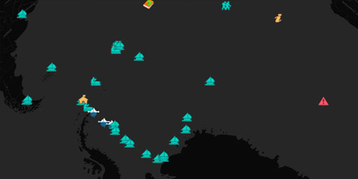
Shackleton's Trans-Antarctic Expedition (1914–1917)
This documentary, in the form of a satellite map, enables you to follow Ernest Shackleton on his troubled 1914 Imperial Trans-Antarctic Expedition. Unlike most maps, this map enables you to digitally ...
View Map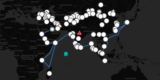
Travels of Marco Polo
In this documentary, in the form of a satellite map, you can zoom in on the travels of Marco Polo from Italy all the way to China following the Silk Road. Unlike most maps, this map enables you to dig...
View MapFossil Sites
Fossil Sites in Africa (A Paleontology Primer)
This documentary, in the form of a satellite map, is the first in a 5-part series of maps that cover fossil sites worldwide. This map traces the African fossil site locations known for the presence of...
View Map
Fossil Sites of Antartica, Australia, and Oceania (A Paleontology Primer)
This documentary, in the form of a satellite map, is the fifth and last of a series of maps that cover fossil sites worldwide. This map traces the fossil sites of Antarctica, Australia, and New Caledo...
View Map
Fossil Sites of Asia (A Paleontology Primer)
This documentary, in the form of a satellite map, is the second in a series of maps that cover fossil sites worldwide. This map traces the many fossil sites in Asia. Included in this map are fossil si...
View Map
Fossil Sites of Europe (A Paleontology Primer)
This documentary, in the form of a satellite map, is the third in a series of maps that cover fossil sites worldwide. This map traces the fossil sites of Europe. Sites included in this map of special ...
View Map
Fossil Sites of North and South America (A Paleontology Primer)
This documentary, in the form of a satellite map, is the fourth in a series of maps that cover fossil sites worldwide. This map traces the fossil sites of North and South America. Sites included in th...
View MapGeoengineering & Weather Modification
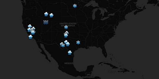
2004 NOAA Reported Weather Modification Activities in the USA
Created by George Stiller and Jim Lee. NOAA Reported Weather Modification Activities (2004-2012) Google Fusion Table Sources: • NOAA 2012 (partial) Report • NOAA 2011 Report • NOAA 2010...
View Map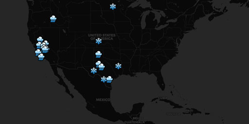
2005 NOAA Reported Weather Modification Activities in the USA
Created by George Stiller and Jim Lee. NOAA Reported Weather Modification Activities (2004-2012) Google Fusion Table Sources: • NOAA 2012 (partial) Report • NOAA 2011 Report • NOAA 2010...
View Map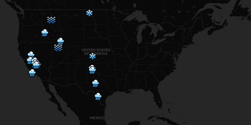
2006 NOAA Reported Weather Modification Activities in the USA
Created by George Stiller and Jim Lee. NOAA Reported Weather Modification Activities (2004-2012) Google Fusion Table Sources: • NOAA 2012 (partial) Report • NOAA 2011 Report • NOAA 2010...
View Map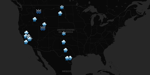
2007 NOAA Reported Weather Modification Activities in the USA
Created by George Stiller and Jim Lee. NOAA Reported Weather Modification Activities (2004-2012) Google Fusion Table Sources: • NOAA 2012 (partial) Report • NOAA 2011 Report • NOAA 2010...
View Map
2008 NOAA Reported Weather Modification Activities in the USA
Created by George Stiller and Jim Lee. NOAA Reported Weather Modification Activities (2004-2012) Google Fusion Table Sources: • NOAA 2012 (partial) Report • NOAA 2011 Report • NOAA 2010...
View Map
2009 NOAA Reported Weather Modification Activities in the USA
Created by George Stiller and Jim Lee. NOAA Reported Weather Modification Activities (2004-2012) Google Fusion Table Sources: • NOAA 2012 (partial) Report • NOAA 2011 Report • NOAA 2010...
View Map
2010 NOAA Reported Weather Modification Activities in the USA
Created by George Stiller and Jim Lee. NOAA Reported Weather Modification Activities (2004-2012) Google Fusion Table Sources: • NOAA 2012 (partial) Report • NOAA 2011 Report • NOAA 2010...
View Map
2011 NOAA Reported Weather Modification Activities in the USA
Created by George Stiller and Jim Lee. NOAA Reported Weather Modification Activities (2004-2012) Google Fusion Table Sources: • NOAA 2012 (partial) Report • NOAA 2011 Report • NOAA 2010...
View Map
2012 NOAA Reported Weather Modification Activities in the USA
Created by George Stiller and Jim Lee. NOAA Reported Weather Modification Activities (2004-2012) Google Fusion Table Sources: • NOAA 2012 (partial) Report • NOAA 2011 Report • NOAA 2010...
View Map50 years of U.N. tracking Weather Modification Projects (1952-1999)
This documentary, in the form of a satellite map, traces the history of weather modification world wide between the years 1952 and 1999 as recorded by the United Nations World Meteorological Organizat...
View Map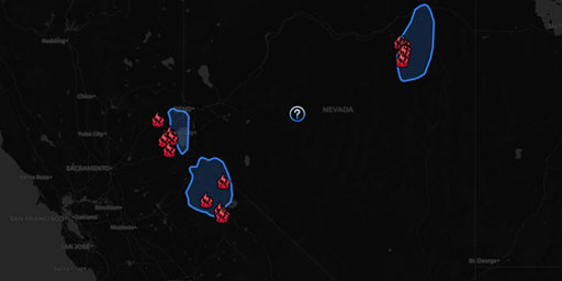
Carson-Walker Basin, Nevada Cloud-Seeding (Generators)
Source: Desert Research Institute, Weather Modification Brochure Created by Jim Lee
View Map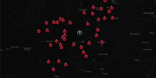
Central Colorado Rocky Mountain Program (Generators)
Source: ‘Weather Modification Permit Application Public Hearing for Western Weather Consultants Target Area Upper Colorado River Basin,’ Colorado Water Conservation Board, Department of Na...
View Map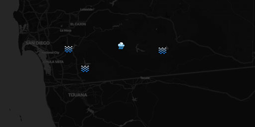
Charles Hatfield and the San Diego Floods - 1915-1916
“In 1915 the San Diego city council, pressured by the San Diego Wide Awake Improvement Club, approached Hatfield to produce rain to fill the Morena Dam reservoir. Hatfield offered to produce rai...
View Map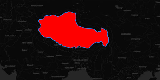
Chinese Cloud Seeding Generators in Tibet
China Covering Tibet in Thousands of Cloud Seeding Generators! Vast system of chambers on Tibetan plateau could send enough particles into the atmosphere to allow extensive clouds to form http://www.y...
View Map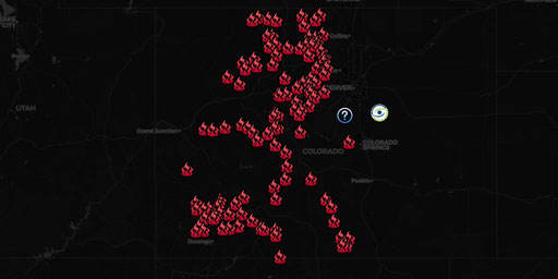
Colorado Cloud Seeding Generators (2019)
Colorado Cloud Seeding Status Current as of Jan 14, 2019 https://www.wcc.nrcs.usda.gov/ftpref/states/co/snow/state/daily/co_cloud_seed.pdf • Archive.org Backup
View Map
Extremely Low Frequency (ELF, ULF, VLF) Transmission Sites
Alpha RSDN-20, Beta Time Signal, LORAN-C, AWESOME VLF Network, Ground Wave Emergency Network (GWEN), and ELF transmission facilities. Alpha, Beta, and LORAN-C Alpha (also called RSDN-20 ) is a Russian...
View Map
Geoengineering SRM Field Experiments
Cloud creation experiments and Solar Radiation Management trials. As for the U.S. Department of Defense — forget about it. To this group, such involvement prompts nightmares of a new military-industri...
View Map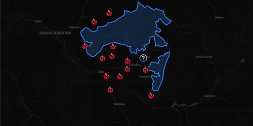
Grand Mesa Colorado Cloud-Seeding (Generators)
Source: http://cwcb.state.co.us/water-management/water-projects-programs/Documents/WeatherModification/PermitAreas/GrandMesaTargetAreas.pdf
View Map
HAARP and Ionospheric Heaters Worldwide
Ionospheric Heater: “Powerful HF transmitter (2.8 to 10 MHz) that induces controlled temporary modification to the electron temperature at desired altitude”. What does that mean? Heater antenna arrays...
View Map
High-Frequency Active Auroral Research Project (HAARP)
The High-frequency Active Auroral Research Program, or HAARP, is a scientific endeavor aimed at studying the properties and behavior of the ionosphere. Operation of the research facility was...
View Map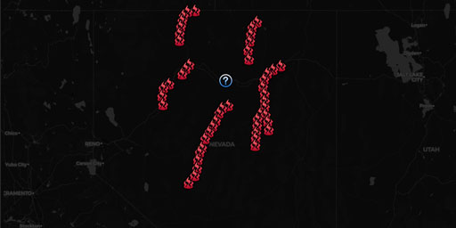
Humboldt River Basin, Nevada Cloud-Seeding (Generators)
Source: PRELIMINARY FEASIBILITY STUDY AND COST ESTIMATES OF POSSIBLE WINTER CLOUD SEEDING IN THE HUMBOLDT RIVER BASIN, NEVADA. August 2014 Created by Jim LeeReference
View Map
Idaho Power Company Cloud-Seeding (Generators)
Source: Shaun Parkinson, PhD, PE, ‘Idaho Power Company’s Cloud Seeding Program’
View Map
Lasers and Directed-Energy Weapons
This map contains lasers like The Ground-Based Electro-Optical Deep Space Surveillance (GEODSS), International Laser Ranging Service (ILRS), Starfire Optical Range, White Sands Missile Range Directed-...
View Map
Missile Defense Radars (Star Wars SDI, Space Fence)
This map contains multi-million watt radars searching for nuclear intercontinental ballistic missiles. Optical effects in the ionosphere have been reported above these facilities like artificial auror...
View Map
Project High Altitude Research Program (HARP) Chemical Cannon 1965
Project High Altitude Research Program (HARP) Cannons Launch Chemical Payloads Into Space 1965 • WeatherModificationHistory.com Aberdeen Proving Grounds, NM HARP 5-INCH AND 16-INCH GUNS AT YUMA PROVIN...
View Map
Sacramento, California Cloud Seeding Near Failing Oroville Dam
SMUD Cloud Seeding Bidding California Bid Network: Cloud Seeding and Forecasting Services - Backup Bid Date & Time: 08/30/17 5:00 PM - Prebid: 08/14/17 11:00 AM Solicitation Title: Cloud Seeding and F...
View Map
Santa Barbara, California Cloud-Seeding (Generators)
Summary of Operations for a Winter Cloud Seeding Program for the Upper Santa Ynez Drainage in Southeastern Santa Barbara County and the Huasna-Alamo Drainage in Northern Santa Barbara and Southern San...
View Map
Super Dual Auroral Radar Network (SuperDARN)
The Super Dual Auroral Radar Network (SuperDARN) is an international radar network for studying the upper atmosphere and ionosphere, comprising eleven radars in the northern hemisphere and seven in th...
View Map
The Russian Woodpeckers (Steel Yard, Steel Work, Duga Radars, & Krug Ionospheric Probes)
Ionospheric Heater powered by Chernobyl reactor. Rendered useless after meltdown. The Russian Woodpecker, Chernobyl Meltdown, and Ionospheric Heating Over the USA (1983-1986) ‘Woodpecker&rsquo...
View Map
UCAR Earth Observing Lab Field Projects Worldwide
Global Chemical Tracer / Transport Experiments - National Center for Atmospheric Research (NCAR)/Earth Observing Laboratory (EOL) A comprehensive list of all of EOL’s field projects and deployme...
View Map
Weather Modification Inc. Projects Worldwide
CLIENTS & PROJECTS Antigua Antigua Cloud Seeding Project Argentina Province of Mendoza Ministry of Economy Australia Queensland Environmental Protection Agency Burkina Faso Program SAAGA ...
View Map
Wyoming Weather Modification Pilot Program (Generators)
Source: http://wwdc.state.wy.us/weathermod/WYWeatherModPilotProgramExecSummary.html Created by Jim Lee More InformationCloud Seedin’G’: Gambling With Your Weather Biggest Cloud-Seeding Exp...
View MapGeoscience and Oceanography
A Depth Gauge for Understanding Oceans
Having made a scale of the Earth’s atmosphere, in the form of a satellite map, I thought that a similar scale was needed for ocean depths. So this map has samples of ocean depths that were deter...
View Map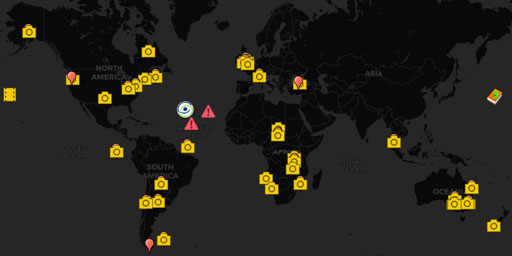
Darwin's “The Origin of Species”
This documentary, in the form of a satellite map, plots the examples of evolutionary biology provided by Charles Darwin in his book The Origin of Species. It’s a companion piece to my Interactive map ...
View Map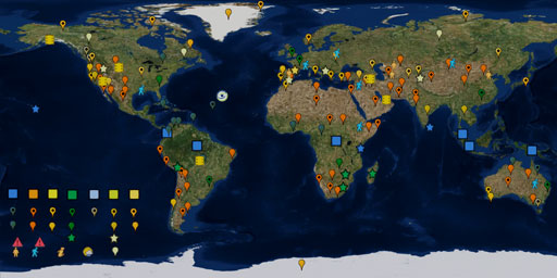
Geography of the Köppen Climate Classification System
This documentary, in the form of a satellite map, applies geography to the 100+ year old Köppen Climate Classification System. The intent of this map is to be a visual glossary of climate classificati...
View Map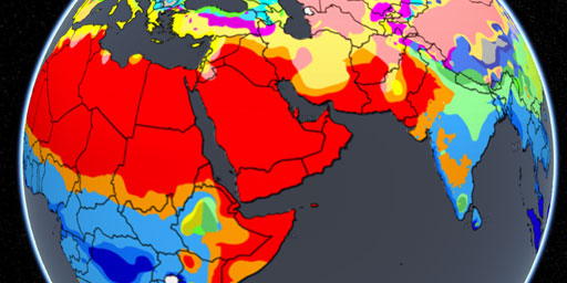
Geography of the Köppen Climate Classification System (Overlay)
This overlay applies the 100+ year old Köppen Climate Classification System. The intent of this map is to be a visual glossary of climate classifications. With it you will be able to see the actual ge...
View Map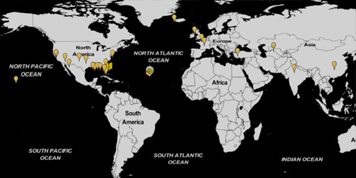
Irrational Environmental Engineering
This documentary, in the form of a satellite map, covers the unintended consequences of pragmatic ecological engineering worldwide that had perverse results. Situations where we spent a great deal of ...
View Map
It's Raining Frogs, Fish, and What?
You might say it’s raining cats and dogs, but you don’t mean it literally. But at times in many areas around the world that it has rained things stranger than felines and canines. Weird ra...
View Map
Mass Whale Stranding Sites
This documentary, in the form of a satellite map, traces the beached whale strandings that made headline news around the world. Note how certain locations are magnets for such activity, recurring over...
View Map
Oceanic Trenches and other Undersea Phenomena
In this documentary, in the form of a satellite map, you can explore the oceanic trenches and other undersea phenomena, 240 locations of zones in order to give you a better understanding of what is un...
View Map
Terrestrial Biomes and Ecoregions
Biomes are climatically and geographically defined as contiguous areas with similar climatic conditions on the Earth, such as communities of plants, animals, and soil organisms, and are often referred...
View Map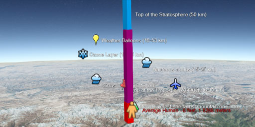
The Atmosphere of Earth
Ever wonder just how high is high? Just how high is the Hubble Space Telescope at 371 miles (559km) and the International Space Station at 260 miles (420 km). Without a real Earth reference there is n...
View Map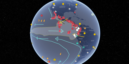
The El Niño Zone
This documentary, in the form of a satellite map, accounts for everything you want to know about the El Niño Zone. Like weather changes, the Galapagos volcanic hotspot, changes in Thermohaline Circula...
View Map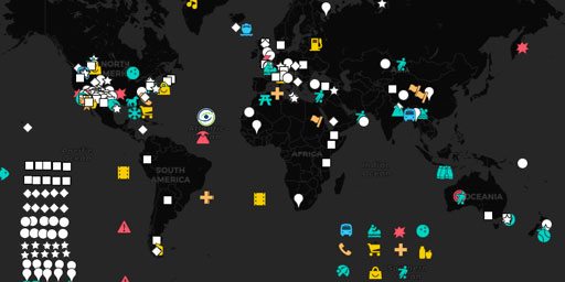
The Glossary of Geology
This documentary, in the form of a satellite map, provides examples of geology terminology throughout the world that you can zoom in close on to see where the depressions, eductions, eskers, fabric, f...
View Map
The History of Climate Change (2000-2012)
This documentary, in the form of a satellite map, tracks worldwide climate change between 2000 and 2012. It shows examples of such subjects as global warming, both natural and man-made, the increase o...
View Map
The Submarine Topography of Hydrothermal Vents, Cold Seeps, and the likey Origins of Life
This documentary, in the form of a satellite map, enables you to zoom in close on the submarine topography of the known Hydrothermal Vents and Cold Seeps identified in the article Decapod crustaceans ...
View Map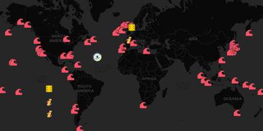
The Topography of Giant Wave Zones
This documentary, in the form of a satellite map, investigates the submarine topography that help create the huge waves that big name surfers ride in their search for fame and glory or the rouge waves...
View Map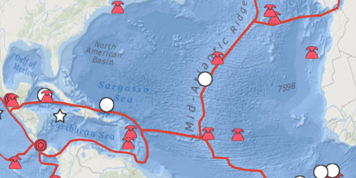
The Topography of Plate Tectonics
This documentary, in the form of a satellite map, attempts to put some real world topography to the Plate Tectonics. With this interactive map you can see the actual land and submarine topography that...
View Map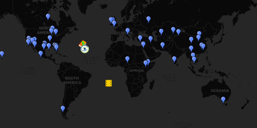
The World's Vanishing Lakes and Rivers
This documentary, in the form of a satellite map, examines how climate change, human development and natural phenomena such as sinkholes have affected the many vanishing lakes and rivers. Many of whic...
View Map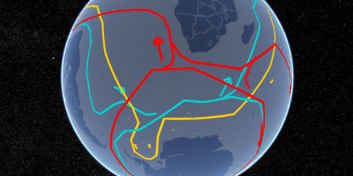
Topography of the Thermohaline Circulation of the Oceans
With the above map, you can zoom in close to see how the submarine topography affects the Thermohaline Circulation of the oceans and its effect on our climate. One of the things that bothered me when ...
View MapGovernment
35 Wasteful Government-funded Construction Projects
This documentary, in the form of a satellite map, enables you to zoom in on 35 taxpayer-funded public and private construction projects worldwide that will make you wonder at their audacity and cry du...
View Map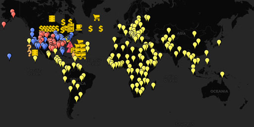
Democracy of Chaos - Places affected by the 2013 U.S. Government Shutdown
This documentary, in the form of a satellite map, investigates some of the impacts of the 2013 U.S. government shutdown. This map breaks down the impacts on Republican and Democrat states based on the...
View Map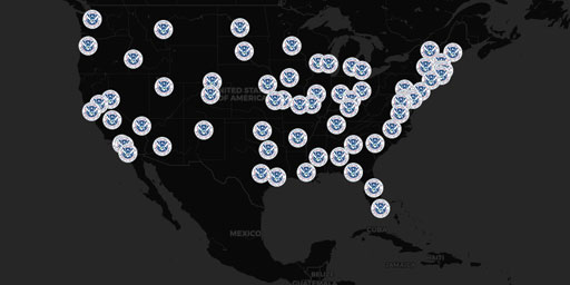
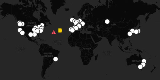
Department of Homeland Security (DHS) Fusion Centers
The following information represents a nearly complete list of the actual physical locations of fusion centers around the United States. If the listed mailing address is identical to the physical addr...
View Map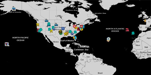
Effects of the U.S. Government Shutdown (2018-2019)
This documentary, in the form of a satellite map, provides examples of the ways and the locations affected by the 2018-19 partial government shutdown, as a result the blackmailing of Congress by the p...
View Map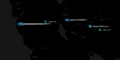
Existing US-Mexico Border Wall Tunnels
This documentary, in the form of a satellite map, indicates the approximate, and in some cases the exact, location of the 20+ existing smuggler tunnels dug under the US-Mexico border between Californi...
View Map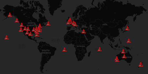
Five Eyes STONEGHOST Surveillance Network
Big Brother Is Watching!This map covers government surveillance facilities, signals intelligence networks (SIGINT), AUSCANNZUKUS, and The Five Eyes of the New World Order. War leads to the erosion of ...
View Map
Fortress Russia - Air Defence Radar and Surface to Air Missile (SAM) Sites
Defending Mother Russia Bluffer’s Guide to Fortress Russia (Part 1): Integrated Air Defence of Russia 2010 See KMZ file attached for placemarks. My blog http://planeman-bluffersguide.blogspot.com/ - F...
View Map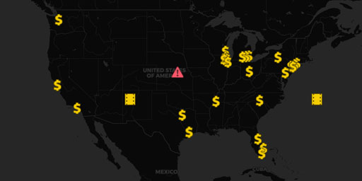
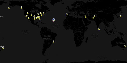
Fortune 500 Companies that received government subsidies while avoiding paying taxes
This documentary, in the form of a satellite map, investigates some of the richest companies in the United States of America that received government funding while avoiding paying taxes. This map obta...
View Map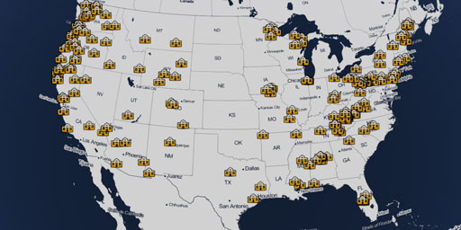
History of Company Towns in the United States
In this documentary, in the form of a satellite map, chronologically tracks 200 years of growth of over 180 company towns across the United States. The intent is to show how these company towns had a ...
View Map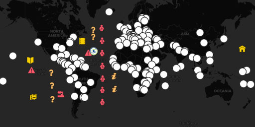
History of Republic, Forms of Government - The Good, Bad, and Troubled as of 2013
In this documentary, in the form of a satellite map, you can trace the good, the bad, and the troubled forms Republican government. Learn about the different types of Republics: Arab Republics, Confed...
View Map
In Search of Utopia - The ultimate paradox
A utopia is an imagined community or society that possesses highly desirable or nearly perfect qualities for its citizens. The opposite of a utopia is a dystopia. One could also say that utopia is a p...
View Map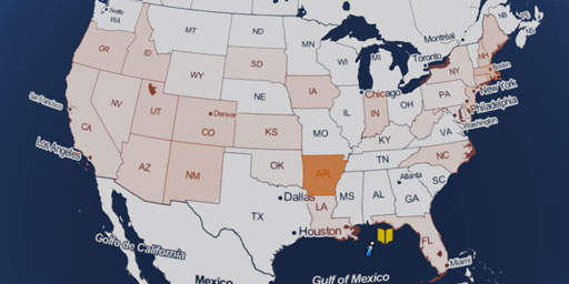
Independent & Unaffiliated Registered Voters By State
It has been reported in The Nation article Figuring Out Why 93 Million People Didn’t Vote, that as many as 43% of the registered voters did not vote in the 2016 Presidential Election; resulting in a m...
View Map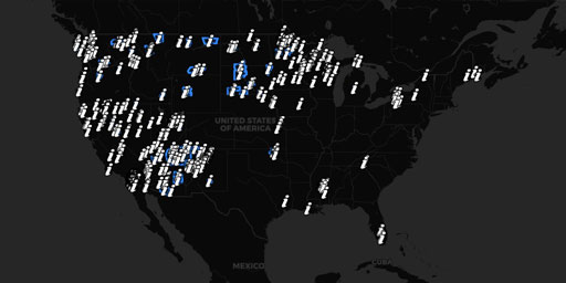
Native American Indian Lands of the United States
This map layer shows Indian lands of the United States. Only areas of 640 acres or more are included. Federally-administered lands within a reservation are included for continuity; these may or may no...
View Map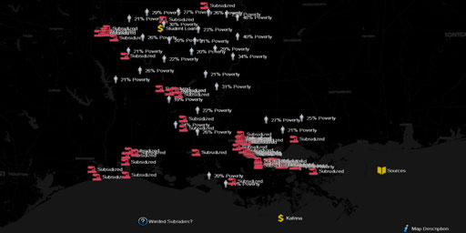
Poverty in a Corporate Welfare State (Louisiana)
This documentary, in the form of a satellite map, covers poverty in a corporate welfare state. It shows both the effectiveness and failure of billions exempted in state job incentive programs in a sta...
View Map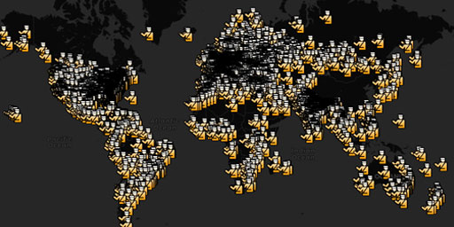
Prisons Worldwide
World Prison Brief (2010) by SergeyUA - World Prison Brief – 143 countries, 5660 places (September, 2010) Africa – 35 countries, 179 places. North America - 14 countries, 1767 places. South America – ...
View Map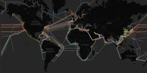
Submarine (underwater) Telecommunication Cables
Map of ocean floor cables tapped by the NSA. This map was made possible in-part by our sponsor: Submarine Cable 101 How many cables are there? As of early 2018, there are approximately 448 subma...
View Map
Surface to Air Missile (SAM) Sites Worldwide
LAST UPDATED IN 2013 This reference work contains the locations of SAM sites and related air defense facilities identified in open source imagery, presented as a collection of Google Earth placemarks....
View Map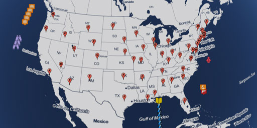
The Effectiveness of Gun Control by State
This documentary, in the form of a satellite map, attempts to make sense of the data on the internet about the effectiveness of gun control used by either side of the issue. The data reported covers t...
View Map
The Effects of No Deal on Brexit
This documentary, in the form of a satellite map, discusses the effects of NO DEAL in the United Kingdom’s exit from the European Union as determined by publications from the Commission to the E...
View Map
The Italian Renaissance
This documentary, in the form of a satellite map, traces the growth of the Italian Renaissance between the 14th and 16th centuries. With it you can zoom in on the actual buildings constructed during t...
View Map
U.S. Border Immigration Crisis (Relocations of Unaccompanied Immigrant Minors, 2014)
UPDATE 9/30/2014: Schools in every state struggle to help kids who crossed the border UPDATE 8/25/2014: The Obama administration has abandoned its months-long search for emergency shelters across the ...
View Map
U.S. violence in the cause for a purer community
This documentary, in the form of a satellite map, discusses the effects of NO DEAL in the United Kingdom’s exit from the European Union as determined by publications from the Commission to the E...
View Map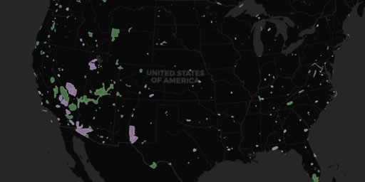
UAV Drone No-Fly Zones in the USA
This layer includes areas in the United States where drones are banned from flying: national parks and military installations. See the FAA’s web site (http://www.faa.gov/uas) for details on curr...
View Map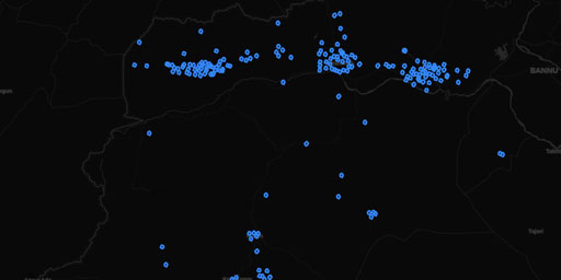
UAV Drone Strikes in Pakistan
Dataset derived by dissolving the features of Dataset from ‘U.S. drone strikes in Pakistan’ with a 500m buffer into unified features by description
View Map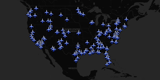
UAV Drones over the USA
Map of drone operators resulting from FOIA requests.EFF Map of Domestic Drone FlightsFAA Releases Thousands of Pages of Drone RecordsUS Air Force Drone Map PDFUS Air Force Drone Map PDF Mirror Wired....
View MapGreen Energy Solutions
Migration
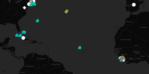
Amistad Slave Route and Revolt
This documentary, in the form of a satellite map, recounts adversities that faced the Amistad slaves from their capture in Sierra Leone, to their journey across the Atlantic, their revolt against thei...
View Map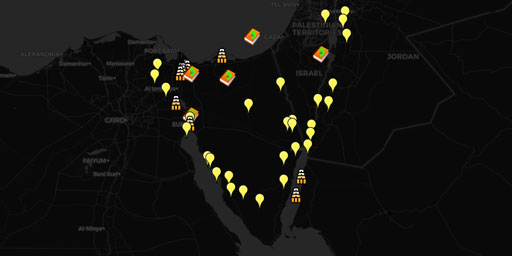
Exodus From Israel
This documentary, in the form of a satellite map, enables you to track and zoom-in on the Stations of the Exodus, along with several related archaeological sites, identified by the long list of resour...
View Map
In Search of Utopia - The ultimate paradox
A utopia is an imagined community or society that possesses highly desirable or nearly perfect qualities for its citizens. The opposite of a utopia is a dystopia. One could also say that utopia is a p...
View Map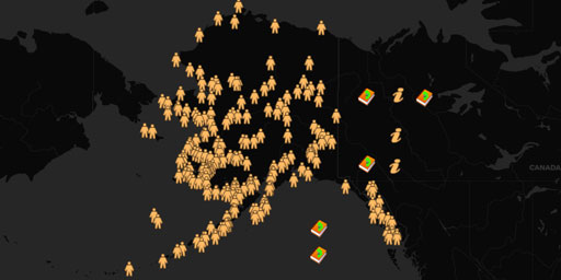
Native American Settlement in Alaska
This documentary, in the form of a satellite map, plots the settlement of Native peoples in remote Alaska. In a sense it is an analysis of where people chose to live, or not to live, in order to survi...
View Map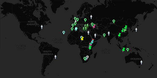
Stages of the Evolution of Man
This documentary, in the form of a satellite map, enables you to track and zoom-in on 65 locations where the various stages of evolution took place. This map covers the following stages of evolution: ...
View Map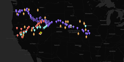
The Oregon, California and Mormon Trails
This documentary, in the form of a satellite map, traces one the greatest migrations in U.S. history over the 2,000 mile Oregon Trail and its California Trail and Mormon Trail offshoots between 1834 a...
View Map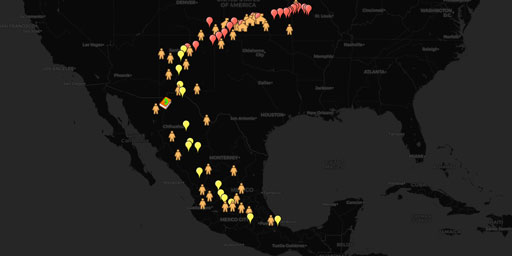
The Santa Fe Trail and El Camino Real Trade Routes
This documentary, in the form of a satellite map, traces the 19th-century trade route of The Santa Fe Trail and the 16th-century El Camino Real de Tierra Adentro from Franklin, Missouri in the United ...
View Map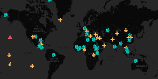
The rise, fall, and migration of civilization due to climate change
This documentary, in the form of a satellite map, traces the rise, fall and migration of civilization due to climate change. While climate change and migration are currently hot issues due the global ...
View MapMountain Climbing Expeditions

Hillary's Mount Everest Climb (1953)
In this documentary, in the form of a satellite map, you can digitally climb Mt. Everest following the first successful route of Edmund Hillary and Sherpa Tenzing Norgay. By activating the 3D terrain ...
View Map
The First Successful Mountain Climb of K2 (1954)
In this documentary, in the form of a satellite map, you can digitally climb K2, the second tallest mountain in the world, following the Abruzzi Spur used by the Italian expedition lead by Ardito Desi...
View MapPlane Crash Sites
Train Crash Sites
World Fairs and Olympics
History of World's Fair Expositions (1851-2012)
This satellite map enables you to zoom in on the various venues of the 2014 Sochi Olympics. The intent of the map is to enable the vast majority of people who could not afford to attend the Olympics t...
View Map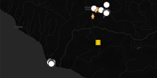
Sochi Olympics (2014)
This satellite map enables you to zoom in on the various venues of the 2014 Sochi Olympics. The intent of the map is to enable the vast majority of people who could not afford to attend the Olympics t...
View MapJim Lee • Creator of ClimateViewer Maps

I am forever a Boy Scout, lifetime artist, nocturnal programmer, music is my life, love is my religion, and I am the luckiest husband and father on Earth. I speak for the trees. I have a passion for mapping, magnets, and mysteries. Feel free to contact me: jim@climateviewer.com