
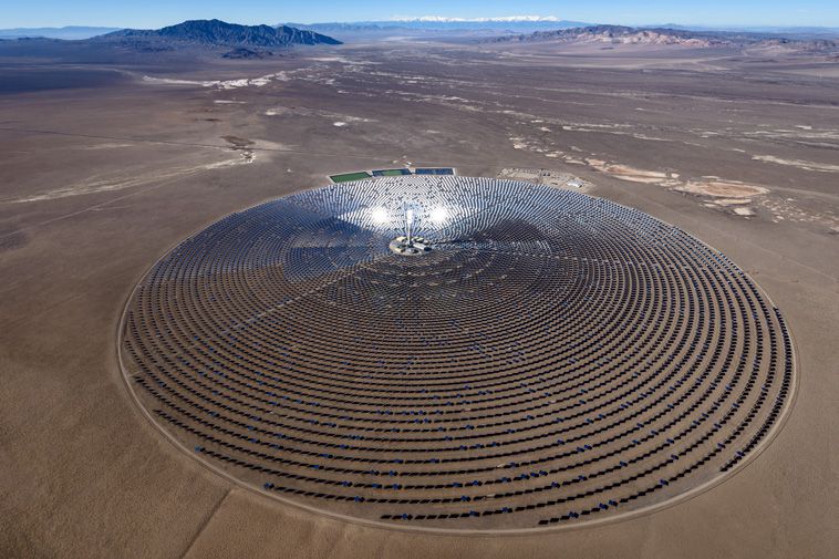
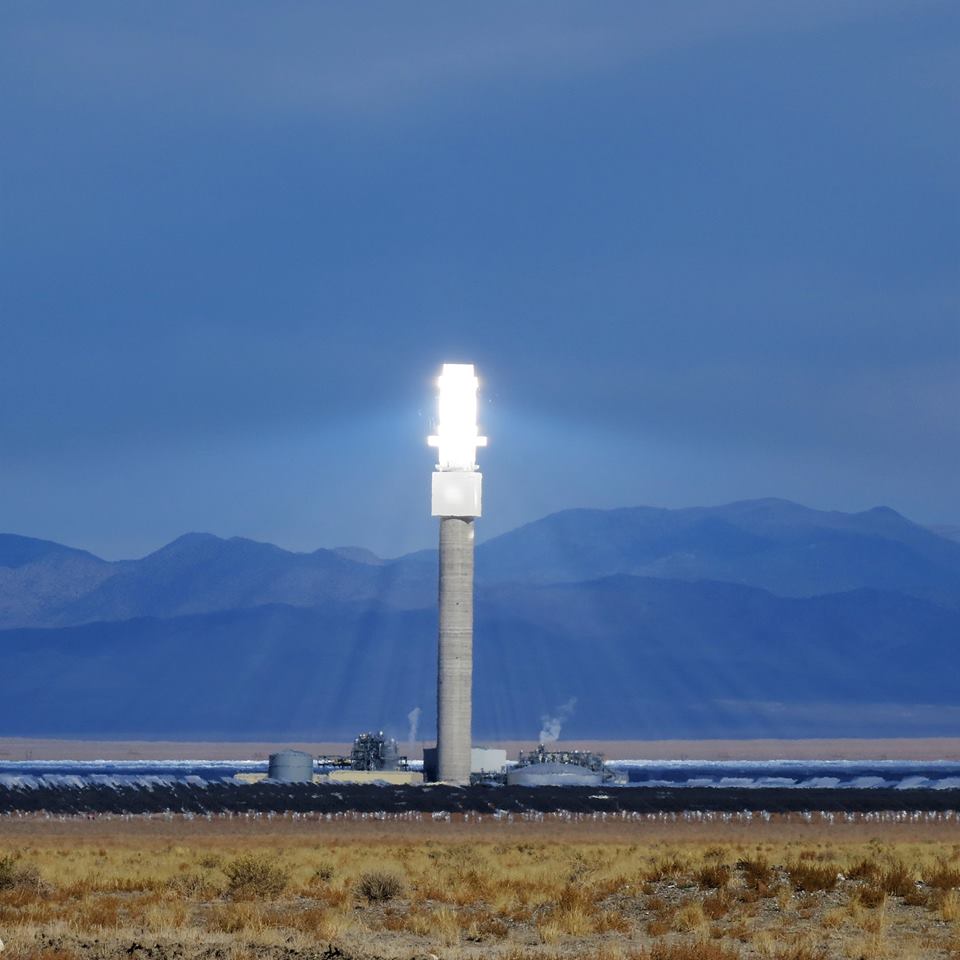
This documentary, in the form of a satellite map, examines 235 operational and planned solar power plants around the world in 2018. This map enables you to zoom in close on both Concentrated Solar Power (CSP) and Photovoltaic (PV) power stations in order to understand how they are designed.
Locations were determined by the following sources:
• The National Renewable Energy Laboratory SolarPACES database
• Wikipedia’s List of Solar Thermal Power Stations
• Wikipedia’s List of Photovoltaic Power Stations
Tags
Map Legend
 Power Tower (CSP)
 Linear Fresnel Reflector (CSP)
 Parabolic Trough (CSP)
 Photovoltaic Power
Map Type
GeoJSON
Map Source
Attribution
George Stiller, MyReadingMapped™Map: Concentrated Solar Power and Photovoltaic Parks (2018) by George Stiller and Jim Lee is licensed under a Creative Commons Attribution-NonCommercial-ShareAlike 4.0 International License. Based on a work at climateviewer.org/. Permissions beyond the scope of this license may be available at climateviewer.com/terms.
 You are free to:
- Share — copy and redistribute the material in any medium or format
- Adapt — remix, transform, and build upon the material
- Attribution — You must give appropriate credit, provide a link to the license, and indicate if changes were made. You may do so in any reasonable manner, but not in any way that suggests the licensor endorses you or your use.
- NonCommercial — You may not use the material for commercial purposes.
- ShareAlike — If you remix, transform, or build upon the material, you must distribute your contributions under the same license as the original.
Jim Lee • Creator of ClimateViewer Maps

I am forever a Boy Scout, lifetime artist, nocturnal programmer, music is my life, love is my religion, and I am the luckiest husband and father on Earth. I speak for the trees. I have a passion for mapping, magnets, and mysteries. Feel free to contact me: jim@climateviewer.com