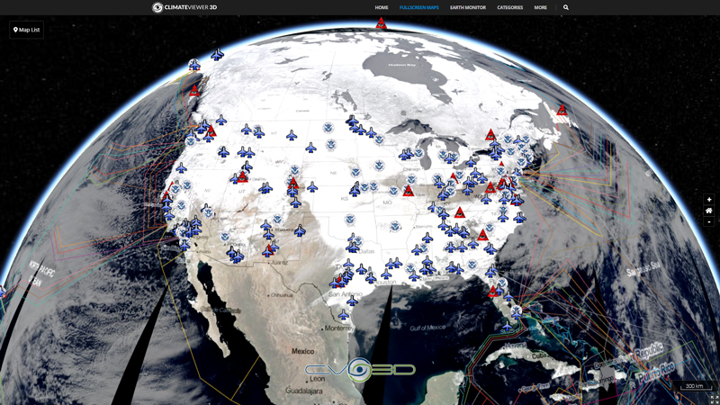
This map layer shows Indian lands of the United States. Only areas of 640 acres or more are included. Federally-administered lands within a reservation are included for continuity; these may or may not be considered part of the reservation and are simply described with their feature type and the administrating Federal agency. This is an updated version of the December 2005 map layer.
Please keep data source with kml (converted to GeoJSON) if it is re-distributed.
KML by: jpwade (website deleted, hosting malware now).
Tags
Map Type
GeoJSON
Map Source
https://climateviewer.org/layers/geojson/2018/Native-American-Indian-Lands-ClimateViewer-3D.geojson
More Info
http://web.archive.org/web/20100117174828/nationalatlas.gov/metadata/indlanp020.faq.html
Attribution
Jim Lee, ClimateViewer NewsMap: Native American Indian Lands of the United States by Jim Lee is licensed under a Creative Commons Attribution-NonCommercial-ShareAlike 4.0 International License. Based on a work at climateviewer.org/. Permissions beyond the scope of this license may be available at climateviewer.com/terms.
 You are free to:
- Share — copy and redistribute the material in any medium or format
- Adapt — remix, transform, and build upon the material
- Attribution — You must give appropriate credit, provide a link to the license, and indicate if changes were made. You may do so in any reasonable manner, but not in any way that suggests the licensor endorses you or your use.
- NonCommercial — You may not use the material for commercial purposes.
- ShareAlike — If you remix, transform, or build upon the material, you must distribute your contributions under the same license as the original.


Leave Us A Comment