
Summary of Operations for a Winter Cloud Seeding Program for the Upper Santa Ynez Drainage in Southeastern Santa Barbara County and the Huasna-Alamo Drainage in Northern Santa Barbara and Southern San Luis Obispo Counties Water Year 2015
Created by Jim Lee
More Info
Santa Barbara County Water Agency Cloud Seeding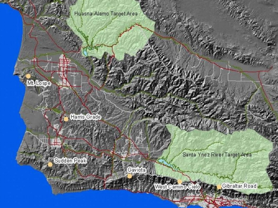
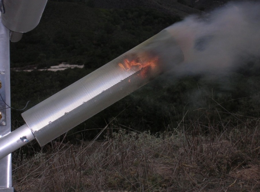
Flare burning inside a spark arrestor
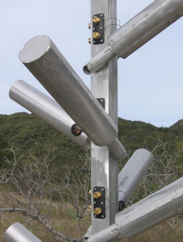
Close-up photo of spark arrestors
Tags
Map Type
GeoJSON
Map Source
More Info
https://weathermodificationhistory.com/
Attribution
Jim Lee, ClimateViewer NewsMap: Santa Barbara, California Cloud-Seeding (Generators) by Jim Lee is licensed under a Creative Commons Attribution-NonCommercial-ShareAlike 4.0 International License. Based on a work at climateviewer.org/. Permissions beyond the scope of this license may be available at climateviewer.com/terms.
 You are free to:
- Share — copy and redistribute the material in any medium or format
- Adapt — remix, transform, and build upon the material
- Attribution — You must give appropriate credit, provide a link to the license, and indicate if changes were made. You may do so in any reasonable manner, but not in any way that suggests the licensor endorses you or your use.
- NonCommercial — You may not use the material for commercial purposes.
- ShareAlike — If you remix, transform, or build upon the material, you must distribute your contributions under the same license as the original.
Jim Lee • Creator of ClimateViewer Maps

I am forever a Boy Scout, lifetime artist, nocturnal programmer, music is my life, love is my religion, and I am the luckiest husband and father on Earth. I speak for the trees. I have a passion for mapping, magnets, and mysteries. Feel free to contact me: jim@climateviewer.com