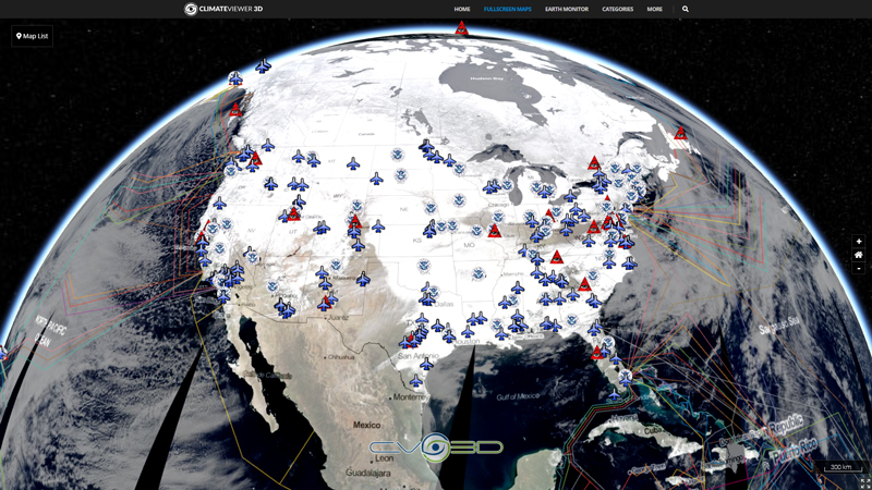
EPA TRI is a resource for learning about toxic chemical releases and pollution prevention activities reported by industrial and federal facilities. TRI data support informed decision-making by communities, government agencies, industries, and others.
Superfund is the Federal government's program to clean up the nation's uncontrolled hazardous waste sites. It is operated under the legislative authority of CERCLA and SARA that funds and carries out EPA solid waste emergency and long-term removal and remedial activities. The Comprehensive Environmental Response, Compensation and Liability Information System (CERCLIS) is an EPA database containing information on hazardous waste sites, potentially hazardous waste sites, and associated remedial activities across the nation. It was retired in November 2013 and replaced by SEMS.
Map Type
ArcGIS Mapserver
Map Source
https://toxmap.nlm.nih.gov/arcgis/rest/services/toxmap/toxmap_operational_data/MapServer
More Info
http://toxmap.nlm.nih.gov/toxmap/
Attribution
Jim Lee, ClimateViewer NewsMap: Superfund Sites (EPA TOXMAP) by Jim Lee is licensed under a Creative Commons Attribution-NonCommercial-ShareAlike 4.0 International License. Based on a work at climateviewer.org/. Permissions beyond the scope of this license may be available at climateviewer.com/terms.
 You are free to:
- Share — copy and redistribute the material in any medium or format
- Adapt — remix, transform, and build upon the material
- Attribution — You must give appropriate credit, provide a link to the license, and indicate if changes were made. You may do so in any reasonable manner, but not in any way that suggests the licensor endorses you or your use.
- NonCommercial — You may not use the material for commercial purposes.
- ShareAlike — If you remix, transform, or build upon the material, you must distribute your contributions under the same license as the original.


Leave Us A Comment