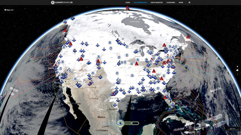
The Ash product is an RGB (Red, Green, Blue) composite based upon infrared channel data from the Meteosat Second Generation satellite. It is designed to detect ash and sulphur dioxide (SO2) from volcanic eruptions which can be used for the provision of warnings to aviation authorities. The Ash RGB is composed from data from a combination of the SEVIRI IR8.7, IR10.8 and IR12.0 channels.

Map Type
Web Map Service (WMS)
Map Source
https://eumetview.eumetsat.int/geoserv/wms?request=GetCapabilities&service=WMS


Leave Us A Comment