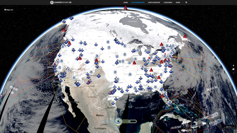
This nowCOAST time-enabled map service provides maps depicting visible, infrared, and water vapor imagery composited from NOAA/NESDIS GOES-EAST and GOES-WEST. The horizontal resolutions of the IR, visible, and water vapor composite images are approximately 1km, 4km, and 4km, respectively. The visible and IR imagery depict the location of clouds. The water vapor imagery indicates the amount of water vapor contained in the mid to upper levels of the troposphere. The darker grays indicate drier air while the brighter grays/whites indicates more saturated air. The GOES composite imagers are updated in the nowCOAST map service every 30 minutes.
The Geostationary Operational Environmental Satellite Program (GOES) is a joint effort of NASA and the National Oceanic and Atmospheric Administration (NOAA).
The GOES system currently consists of GOES-13, operating as GOES-East, in the eastern part of the constellation at 75 degrees west longitude and GOES-15, operating as GOES-West, at 135 degrees west longitude. The GOES-R series will maintain the two-satellite system implemented by the current GOES series. However, the locations of the operational GOES-R satellites will be 75 degrees west longitude and 137 degrees west longitude. The latter is a shift in order to eliminate conflicts with other satellite systems. The GOES-R series operational lifetime extends through December 2036.
The next series of GOES satellites includes GOES-R, S, T and U.
More Info • www.goes-r.gov • www.nasa.gov/content/goes • GOES Overview and History

Map Type
ArcGIS Mapserver
Map Source
https://nowcoast.noaa.gov/arcgis/rest/services/nowcoast/sat_meteo_imagery_time/MapServer


Leave Us A Comment