Our Vision
A sustainable and resilient marine observation and monitoring infrastructure which enhances healthy ecosystems, communities, and economies in the face of change.
Our Mission
To provide quality observations in the marine environment in a safe and sustainable manner to support the understanding of and predictions to changes in weather, climate, oceans and coast.
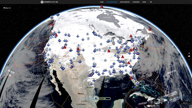
Map Type
Keyhole Markup Language (Google Earth KML)
Map Source
https://www.ndbc.noaa.gov/kml/marineobs_as_kml.php?sort=program


Leave Us A Comment