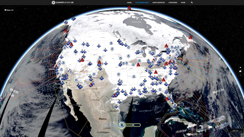
This nowCOAST time-enabled map service provides maps depicting the latest official NWS tropical cyclone forecast tracks and watches and warnings for all active systems in the Atlantic, Caribbean Sea, Gulf of Mexico, Eastern Pacific Ocean, and Central Pacific Ocean. The map layer displays the cyclone’s present location, past locations (best track), maximum estimated sustained surface wind (MPH), wind gusts, mean sea level pressure (millibars), forecasts of the cyclone’s surface positions, maximum sustained winds and gusts at 12, 24, 36, 48, 72, 96 and 120 hours, and uncertainty of the forecast track depicted as a cone. Best track information is available for all storms in the Atlantic, Caribbean Sea, Gulf of Mexico and Eastern Pacific Ocean but not for storms in the Central Pacific Ocean. The track forecasts are based on information from the NWS/National Hurricane Center (NHC) and NWS/Central Pacific Hurricane Center (CPHC) Tropical Cyclone Public Advisories. This map service is updated twice per hour in order to obtain and display the latest information from the regularly scheduled NHC tropical cyclone public advisories as well as any intermediate or special public advisories.
Map Type
ArcGIS Mapserver


Leave Us A Comment