Soil Moisture Active Passive (SMAP) Model Value-Added

National Aeronautics and Space Administration (NASA) Earth Observing System Data and Information System (EOSDIS) Global Imagery Browse Services (GIBS)
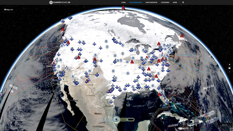
Visually explore the past and present of our dynamic planet through the Global Imagery Browse Services (GIBS). GIBS provides quick access to over 600 satellite imagery products, covering every part of the world. Most imagery is available within a few hours after satellite overpass, some products span almost 30 years, and the imagery can be rendered in your own web client or GIS application.
NASA EOSDIS GIBS provides full resolution visual representations of NASA Earth science data in a free, open, and interoperable manner. Through responsive and highly available web services, it enables interactive exploration of data to support a wide range of applications including scientific research, applied sciences, natural hazard monitoring, and outreach.
Quickly access satellite imagery of every part of the world in near real-time. Many products are available within 3-5 hours of being observed. The imagery archive is also being expanded to include more historical products along with those from newly-launched sensors. Visit Worldview to see available imagery from GIBS.
Available Imagery
2015/03/31 Present
Use the Date Chooser under Map Controls to set Imagery Date
Map Type
Web Map Tile Service (WMTS)


Leave Us A Comment