InciWeb is an interagency all-risk incident information management system. The system was developed with two primary missions:
(1) Provide the public a single source of incident related information
(2) Provide a standardized reporting tool for the Public Affairs community.
A number of supporting systems automate the delivery of incident information to remote sources. This ensures that the information regarding active incidents is consistent, and the delivery is timely.
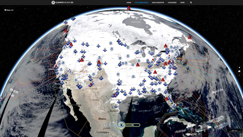
Map Type
Keyhole Markup Language (Google Earth KML)
Map Source
https://inciweb.nwcg.gov/feeds/maps/kml/


Leave Us A Comment