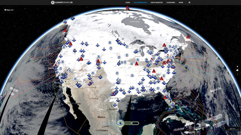
The National Operational Hydrologic Remote Sensing Center (NOHRSC) ingests daily ground-based, airborne, and satellite snow observations from all available electronic sources for the coterminous U.S. These data are used along with estimates of snowpack characteristics generated by a physically-based snow model to generate the operational, daily NOAA National Snow Analyses (NSA) for the coterminous U.S. The NOHRSC snow model is an energy-and-mass-balance, spatially-uncoupled, vertically-distributed, multi-layer snow model run operationally at 1-km² spatial resolution and hourly temporal resolution for the nation. Ground-based and remotely-sensed snow observations are assimilated daily into the simulated snow-model state variables.
Map Type
ArcGIS Mapserver
Map Source
https://idpgis.ncep.noaa.gov/arcgis/rest/services/NWS_Observations/NOHRSC_Snow_Analysis/MapServer


Leave Us A Comment