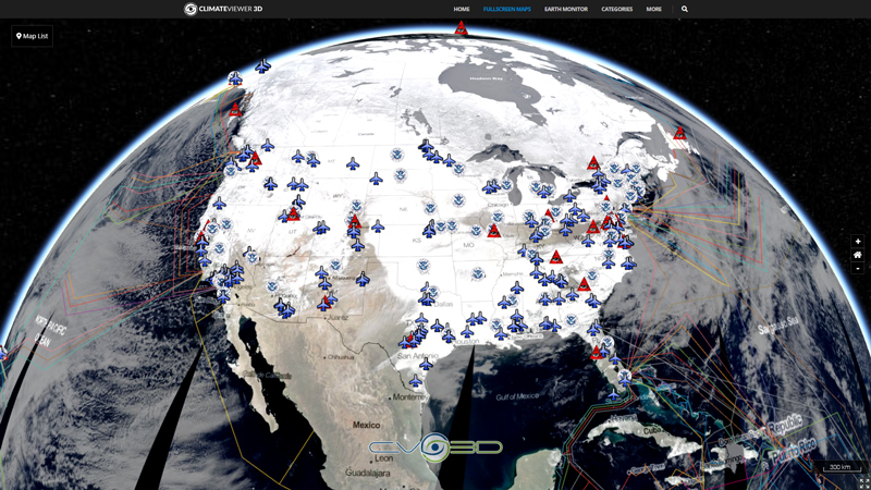
Meteorological Assimilation Data Ingest System (MADIS) Cooperative Agency Profilers (CAP) is a cooperative venture between GSD (formerly FSL) and many participating agencies enabling GSD to; acquire profiler and RASS data in near real-time, apply GSD's data quality control algorithms, and make these value-added data available on the web and to the National Weather Service. At this time, data from approximately 100 CAP sites from over 35 different agencies from around the world are being acquired by GSD. The majority of CAP systems are 915 MHz Boundary Layer Profilers, there are also several 449 MHz and 50 MHz profilers in the CAP network.
Tags
Map Type
GeoJSON
Map Source
https://climateviewer.org/layers/geojson/2018/madis-cap-wind-radar-ClimateViewer-3D.geojson
More Info
https://madis-data.bldr.ncep.noaa.gov/cap/
Attribution
Jim Lee, ClimateViewer NewsMap: MADIS CAP Wind Radar by Jim Lee is licensed under a Creative Commons Attribution-NonCommercial-ShareAlike 4.0 International License. Based on a work at climateviewer.org/. Permissions beyond the scope of this license may be available at climateviewer.com/terms.
 You are free to:
- Share — copy and redistribute the material in any medium or format
- Adapt — remix, transform, and build upon the material
- Attribution — You must give appropriate credit, provide a link to the license, and indicate if changes were made. You may do so in any reasonable manner, but not in any way that suggests the licensor endorses you or your use.
- NonCommercial — You may not use the material for commercial purposes.
- ShareAlike — If you remix, transform, or build upon the material, you must distribute your contributions under the same license as the original.


Leave Us A Comment