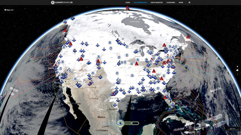
This layer includes areas in the United States where drones are banned from flying: national parks and military installations. See the FAA’s web site (http://www.faa.gov/uas) for details on current guidance and regulations for the various types of drones. For example, the guidance for hobbyists is particularly clear, and useful (http://www.faa.gov/uas/publications/model_aircraft_operators). If you know of additions / corrections, please email Jim Herries (jherries@esri.com).
Tags
Unmanned Aerial Vehicles
Robot
Map Type
ArcGIS Mapserver
Map Source
More Info
https://www.smithsonianmag.com/innovation/where-drones-fly-legally-united-states-180954454/


Leave Us A Comment