
Map of drone operators resulting from FOIA requests.
- EFF Map of Domestic Drone Flights
- FAA Releases Thousands of Pages of Drone Records
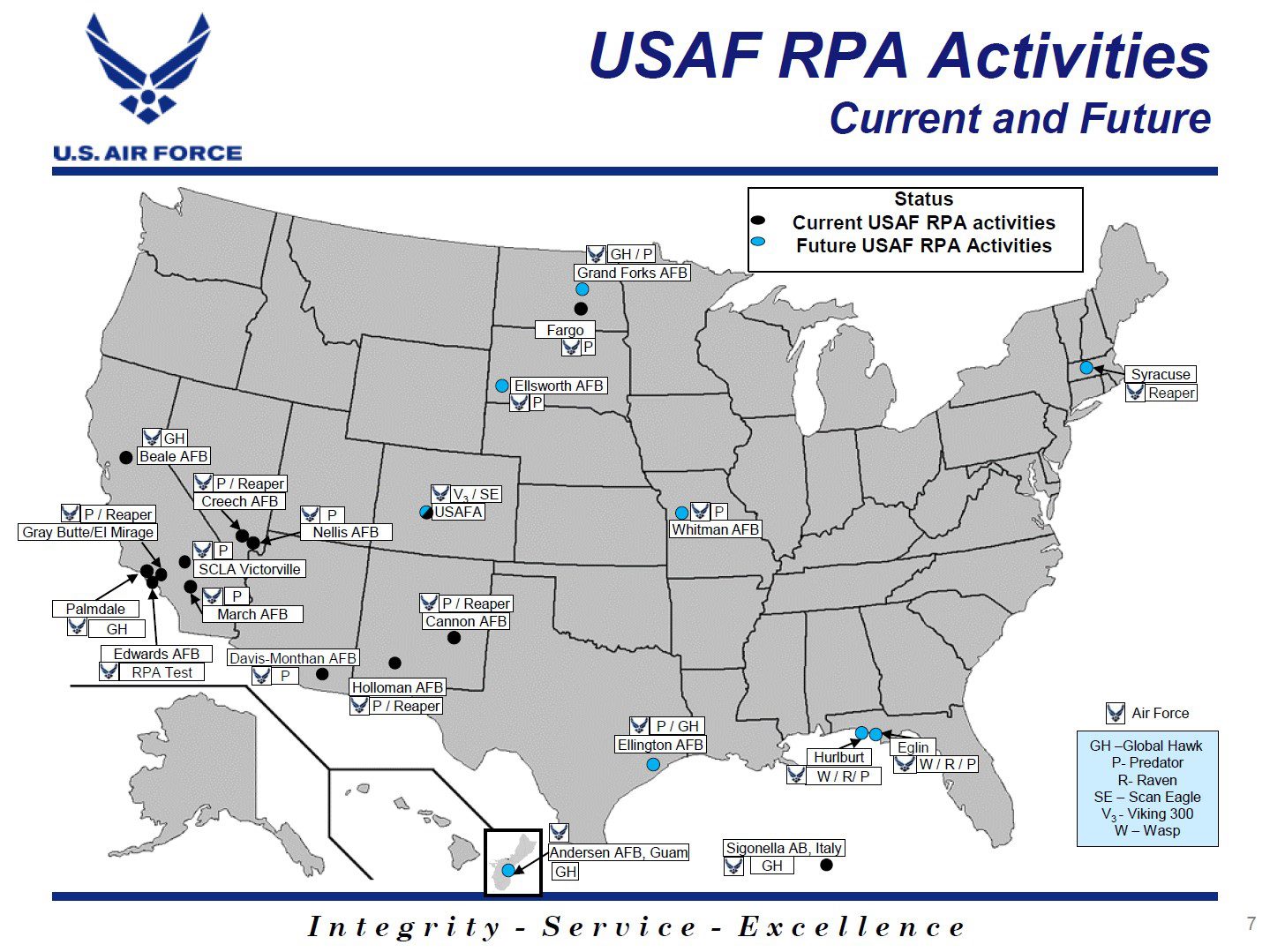
- US Air Force Drone Map PDF
- US Air Force Drone Map PDF Mirror

- Wired.com: Revealed: 64 Drone Bases on American Soil
- EFF.org: FAA Releases Lists of Drone Certificates, Many Questions Left Unanswered
- PublicIntelligence.net: DoD Current and Future U.S. Drone Activities Map
- UAS TACTICAL POCKET GUIDE
- JUAS-COE Training Document Organic/Non Organic UAS
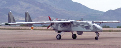
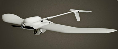
Large UAVs
Boeing X-37
RQ-170 Sentinel Stealth UAV

RQ-3 DarkStar
X-47A Pegasus
X-47B UCAS-D
Global Hawk (RQ-4) BAMS (RQ-4N)

MQ-4C BAMS UAS
Predator
Predator B – MQ-9 Reaper

Predator C Avenger
Gray Eagle MQ-1C "Warrior"
Mariner
I-GNAT
I-GNAT ER (Sky Warrior Alpha)
Hunter
Hunter MQ-5B
Viking 300
Rascal
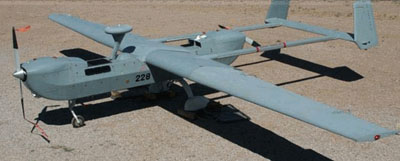
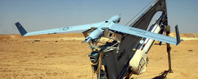
Shadow 200
Shadow 400
Shadow 600
Hand-held
Wasp
WASP-AE Micro
Raven (RQ-11B, RQ-11A)

Puma-AE
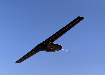
Scan Eagle
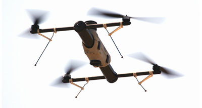
Vertical Take-off (VTOL)
Vigilante UAV
A160 Hummingbird

RMAX (Type II, Type IIG)
Shadowhawk

Cypher II
gMAV (Ducted Fan UAV)
Shrike
Tags
Unmanned Aerial Vehicles
Robot
Map Type
GeoJSON
Map Source
https://climateviewer.org/layers/geojson/2018/UAV-Drones-over-USA-ClimateViewer-3D.geojson
More Info
https://climateviewer.com/privacy/
Attribution
Jim Lee, ClimateViewer NewsMap: UAV Drones over the USA by Jim Lee is licensed under a Creative Commons Attribution-NonCommercial-ShareAlike 4.0 International License. Based on a work at climateviewer.org/. Permissions beyond the scope of this license may be available at climateviewer.com/terms.
 You are free to:
- Share — copy and redistribute the material in any medium or format
- Adapt — remix, transform, and build upon the material
- Attribution — You must give appropriate credit, provide a link to the license, and indicate if changes were made. You may do so in any reasonable manner, but not in any way that suggests the licensor endorses you or your use.
- NonCommercial — You may not use the material for commercial purposes.
- ShareAlike — If you remix, transform, or build upon the material, you must distribute your contributions under the same license as the original.
Jim Lee • Creator of ClimateViewer Maps

I am forever a Boy Scout, lifetime artist, nocturnal programmer, music is my life, love is my religion, and I am the luckiest husband and father on Earth. I speak for the trees. I have a passion for mapping, magnets, and mysteries. Feel free to contact me: jim@climateviewer.com